
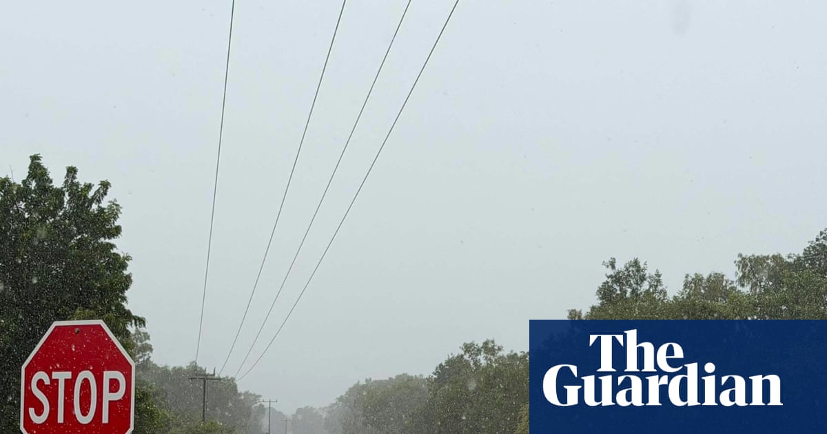
A large-scale evacuation of hundreds of flood-affected Northern Territory residents is under way, as tropical lows bring heavy rain to large parts of the Top End and northern Queensland.
Several flood warnings were in place for the NT on Saturday, including for the Katherine and Daly rivers, while most of Queensland remained on flood watch.
Northern Territory police incident control commander, Shaun Gill, said on Saturday morning that various communities were facing a “major flood level event”.
About 600 people from two remote communities were being airlifted to Darwin, he said.
The Daly river was expected to reach major flood level on Saturday afternoon. A large-scale helicopter retrieval of 400 people from the community in Daly River (Nauiyu), was under way, Gill said.
Sign up: AU Breaking News email
Gill said six aircraft were also helping evacuate approximately 200 people from the remote community of Palumpa by air, with road access to the community cut off by flood waters.
The “whole of Katherine is under threat”, Gill added, noting that the town’s main road was affected by flooding. “The highway north and south of Katherine is already cut off … a high-level bridge is expected to go underwater this afternoon.”
The Katherine river at Katherine Bridge reached 18.61 metres just after 10am and was still rising, according to the Bureau of Meteorology’s major flood warning alert.
The river was predicted to reach 19.2 metres on Saturday afternoon, with major flooding and further rises possible as upstream flows arrived.
Shenagh Gamble of the BoM said: “Once those river heights have peaked, we expect it to stay above major [flood levels] at the Katherine community and township … through the weekend into Sunday.”
Two flood rescues were performed in Katherine overnight, where people were trapped in their houses, Gill said.
He urged all Katherine residents to shelter as soon as possible, adding that flood conditions “are only going to get worse in the short term”. There were 200 people in shelters on Saturday morning, he said.
“The levee will be enacted, which is the first time, I understand, that’s happened,” Gill said.
On Friday, the Katherine community prepared by sandbagging, opening shelters and evacuating patients from the local hospital.
Tropical low tracking south-east across Queensland
Major flood warnings are also active for parts of Queensland as a tropical low, 29U, tracks south-east toward the Wide Bay Burnett region.
“We’re likely to see showers, rain and thunderstorms spread right across northern and eastern Queensland over the weekend with moderate to locally heavy falls,” said senior BoM meteorologist Dean Narramore.
Up to 150mm of rain was recorded from Georgetown to Normanton and in areas between Townsville and Gladstone overnight on Friday, he said.
A flood watch was in place for most of Queensland, with “widespread minor to moderate flooding possible across much of the state”, according to the BoM.
Major flood warnings continue across various western Queensland rivers, including the Georgina and Thomson rivers, and the Eyre and Cooper creeks.
The climate crisis is making Australia more vulnerable to extreme weather and natural disasters, including intense rainfall. In 2025, the third-hottest year on record, global surface air temperatures averaged 1.48C above preindustrial levels. For each 1C of global heating, the atmosphere can hold 7% more moisture.