
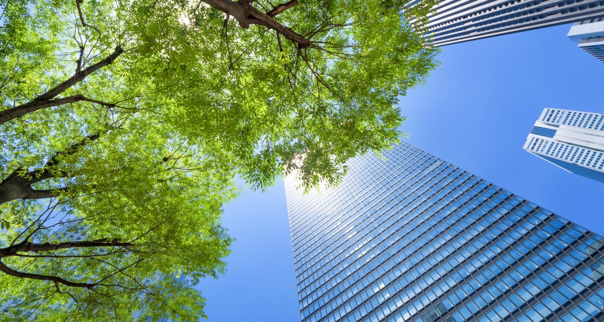
Scientists have found that city trees act as the dominant carbon sink within urban landscapes, absorbing more carbon dioxide than any other form of vegetation.
On some summer days, that uptake can match or even exceed the emissions produced by traffic across the city.
Mapping carbon across the city

Across Munich’s streets and parks, clusters of trees quietly pull carbon dioxide from the air while vehicles release it only blocks away.
By mapping those exchanges at street scale, Jia Chen at the Technical University of Munich (TUM) documented where urban vegetation actually removes carbon from the atmosphere.
During warm summer days, the strongest absorption occurs when active leaf growth pulls carbon into wood and living tissue faster than surrounding sources release it.
Understanding exactly where and when that balance changes becomes essential before cities can evaluate how different kinds of green space influence their carbon budgets.
Trees absorb the most carbon
Citywide totals hid the detail, but tree canopy still emerged as a carbon sink, removing more CO2 than it released.
During daylight, leaves grabbed CO2 in photosynthesis, and some of that carbon stayed locked in new wood.
In Munich, all vegetation together offset a small share of the city’s yearly carbon dioxide emissions from human activities.
Even a few percent can matter when a city tries to spot missing sources and measure progress year to year.
Lawns release carbon dioxide
Short grass and park lawns behaved very differently from tree canopies when researchers measured carbon dioxide across Munich. Under the surface, soil respiration kept pumping carbon upward day and night.
Because soil respiration exceeded photosynthesis, grassy areas released more carbon dioxide than they bound on an annual basis.
Management choices like watering, fertilizing, and mowing can push those balances around, so a lawn’s climate role is not fixed.
Summer boosts carbon absorption
Warm, bright days drove the biggest swings, since photosynthesis speeds up with light and good growing conditions.
After dark, leaves stop absorbing CO2, but plants and soils continue to respire, so the net exchange can turn positive.
During winter, deciduous trees lost their leaf area, and uptake shrank while background respiration continued across lawns and roots.
Season-by-season maps can guide when to irrigate, prune, or protect soils instead of treating green space as unchanging.
Field tests confirm results
The researchers tied their city maps to direct measurements in parks and forests.
To test the numbers, technicians monitored trees and soils on site, and then compared those signals with what the map expected.
From April 2024 through February 2025, the group collected plant-and-soil field measurements in urban parks to validate the model.
Those checks showed strong agreement overall, while also flagging places where summer respiration or season timing still needs work.
Satellite pixels mix surfaces
A satellite pixel can cover both leaves and pavement, so a single number may describe two very different surfaces.
When impervious surfaces, pavement and roofs that water cannot soak into, share a pixel, greenery can look weaker than it is.
In Munich, about 35% of vegetated pixels included some sealed surface, especially near street trees and grass strips.
That mixing can skew city totals and park-level comparisons, making high-resolution maps most useful when paired with local observation.
Planning with better numbers
Better maps can tighten an emissions inventory, a city’s running count of greenhouse gases, so policy debates use the same numbers.
By separating plant-driven CO2 exchange from traffic and heating sources, analysts can spot where the bookkeeping still misses reality.
After Munich and Zurich in Switzerland, the team plans to apply the same approach in other cities that want fine-grain climate tracking.
With clearer evidence, planners can defend protecting street trees and redesigning parks without pretending every green patch helps equally.
Benefits of urban trees
Urban trees provide cooling, stormwater control, and public health benefits that make green space valuable beyond carbon uptake.
Shade blocks sunlight, and evapotranspiration – water pulled up and released as vapor – cools the air as it leaves the trees.
“Among other things, they lower the temperature in the city in summer, serve as infiltration areas, and improve the quality of life,” said Chen.
Even when carbon math disappoints, shade trees still cool streets and handle stormwater, so city choices stay complicated.
Carbon varies across blocks
Pocket parks, street trees, and backyard gardens formed a patchwork, so carbon uptake rose and fell across short distances.
Instead of averaging that away, Chen’s map highlighted which corners of a city actually changed the air’s CO2 balance.
“Our high-resolution analysis reveals which areas actually have an impact on the climate,” says Chen.
Block-by-block maps make it easier to explain tradeoffs to residents because the climate role of green space becomes clear instead of abstract.
The study is published in the journal Earth’s Future.
—–
Like what you read? Subscribe to our newsletter for engaging articles, exclusive content, and the latest updates.
Check us out on EarthSnap, a free app brought to you by Eric Ralls and Earth.com.
—–