
Mars may have once held a vast ocean across its northern lowlands, and the clearest clue may not be the faint shoreline traces scientists have argued over for years. Instead, it could be a broad, flattened band of terrain, a kind of planetary bathtub ring, still visible in the planet’s topography long after the water disappeared.
That is the case made by Abdallah Zaki, a postdoctoral researcher at The University of Texas at Austin Jackson School of Geosciences and Caltech professor of geology Michael Lamb. They examined the Red Planet’s surface for a more durable sign of ancient seas. Their work points to a wide coastal shelf in the Martian north, a landform that on Earth marks the transition between land and ocean and can remain recognizable even as shorelines shift.
For decades, the idea of an ancient northern ocean on Mars has remained unsettled. Possible shorelines have been mapped along the boundary between the southern highlands and northern lowlands, stretching for thousands of kilometers. The problem is that these features do not sit neatly at the same elevation. On Earth, stable sea level leaves shorelines that line up. On Mars, the suspected shoreline traces wander by several kilometers in height, raising doubts about whether they really mark an ocean at all.
Simulation of the continental shelf (denoted in light purple) on Earth, offshore from the Amazon river. This feature of the oceans is more robust over geological time than other signatures, such as shorelines. (CREDIT: A. Zaki)
That mismatch has led to several explanations. Some researchers have suggested the planet’s surface was deformed as massive volcanic provinces grew. Others have pointed to true polar wander, resurfacing by lava, tsunamis, or even misidentified landforms. Yet none of those ideas has fully explained the global variations in elevation.
Looking past the shoreline
Zaki and Lamb approached the problem from a different angle. Rather than hunting for a thin shoreline, they asked what kind of topographic signature a long-lived ocean leaves behind on a planet.
Using global topographic data, they essentially drained Earth’s oceans in computer analyses and looked at what remained. The strongest, most persistent feature was not a narrow coastal line. It was a broad belt of low-gradient terrain that wraps around continents: coastal plains and the continental shelf.
That shelf is shaped by erosion, river deposition, waves, shifting sea levels, and sediment transport. While the exact origin of continental shelves is still debated, the landform itself is unmistakable. On Earth, it appears as a topographic minimum, flatter and less curved than the land above it or the seafloor beyond it.
The researchers then applied the same logic to Mars.
They focused on landforms that signal past flowing water, including valley networks, outlet canyons, fluvial ridges, and open-basin deltas. Those features helped define the likely upper bound of a Martian coastal zone. From there, they analyzed slope and curvature across the planet’s northern hemisphere.
What they found was not a perfect Earth-style match. Mars is too old and too altered for that. Billions of years of wind erosion, meteor impacts, lava flows, outflow channels, and creeping regolith have softened the original surface. But a broad zone still stands out.
Between about minus 1,800 meters and minus 3,800 meters in elevation, Mars contains a wide band of terrain with relatively low slope and low curvature. It hugs the crustal dichotomy boundary, the long divide between the southern highlands and northern lowlands. It also overlaps many of the deltas and previously proposed shoreline traces that have been central to the ocean debate.
A shelf, not a lake edge
That distinction matters.
On Earth, a continental shelf forms along ocean margins, not around lakes. A shelf also takes time to develop. The broad Martian zone identified in the study covers about 10.2 million square kilometers, roughly 7 percent of the planet’s surface. The researchers interpret it as an approximate coastal shelf, the remnant of a shoreline system that once bounded a large body of water covering about a third of Mars.
If that interpretation is right, the ocean was not brief or incidental. It likely persisted long enough for coastal processes to shape the landscape over extended periods.
The study also helps explain a long-standing puzzle. If sea level on ancient Mars rose and fell dramatically over time, then shoreline indicators would not have to fall along one clean line. Instead, they could be spread across a wider shelf zone, preserving the record of multiple transgressions and regressions. In two large Martian delta systems, evidence already points to sea-level shifts of roughly 500 to 900 meters.
Geographic distribution and elevation histograms of the surfaces of Earth and Mars, along with their water-formed landscapes, illustrating that deltas can serve as proxies for defining the upper boundary of the Martian shelf. (CREDIT: Nature)
That is a striking range. It suggests a dynamic coastal environment rather than a single moment frozen in stone.
Clues from sediment and rover data
The case does not rest on topography alone.
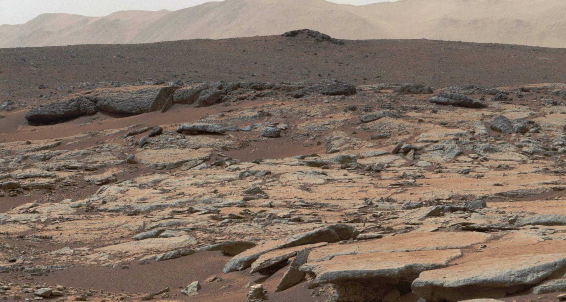
The proposed shelf zone contains more than 14,000 layered sedimentary mounds, some as much as 500 meters thick. It also includes clay-bearing stratigraphy and a number of open-basin deltas. In places such as Aeolis Dorsa and Hypanis Valles, delta deposits appear to grade basinward into features interpreted as submarine channel belts.
Recent rover findings add another piece. China’s Zhurong rover, exploring Utopia Planitia about 150 kilometers north of the mapped shelf, detected 10 to 35 meters of subsurface sediment with layers dipping in a seaward direction. The geometry resembles coastal deposits found along continental margins on Earth.
Taken together, these features suggest that northern Mars may preserve a transition from ancient land to ancient sea, a zone built by rivers delivering sediment into a standing body of water and reshaped by fluctuations in water level.
That does not settle every question. The researchers note that more work remains, including closer examination of the deposits and further analysis of orbital data. The topographic signal on Mars is weaker than Earth’s, and the planet’s surface has been heavily modified since the time the ocean would have existed.
Still, the shelf offers a fresh way to think about one of the planet’s oldest mysteries. Rather than relying only on elusive shoreline traces, scientists may need to read Mars the way they read coastlines on Earth, by following the broader geometry of a coastal margin.
Sedimentologic and mineralogic evidence for sedimentary rocks, clay stratigraphy and open-basin deltas along and within the detected shelf. (CREDIT: Nature) Practical implications of the research
The newly identified coastal shelf gives future Mars missions a more focused target. Coastal sediments on Earth preserve rich records of changing environments, including fossils, sediment transport, and chemical conditions. If Mars ever hosted life, deposits along an ancient shoreline or shelf could be among the best places to search for its traces.
The findings also sharpen the case for exploring sedimentary rocks near the Martian northern lowlands, especially where deltas, layered deposits, and clay-rich strata overlap. A rover working in such terrain could test whether the rocks were shaped by waves, currents, storm events, or river plumes flowing into an ocean.
More broadly, the work suggests that long-lost oceans on dry worlds may not always advertise themselves with obvious shorelines. Sometimes the better clue is a wider, flatter band of terrain, one that preserves the memory of an old coast long after the water is gone.
Research findings are available online in the journal Nature.
Related Stories