
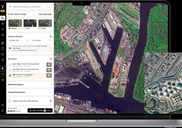
 Credit: SkyFi
SI Imaging Services (SIIS) has partnered with SkyFi to make native 25cm VVHR optical satellite imagery and tasking from SpaceEye-T directly accessible to global users.
SIIS is a South Korean provider of very very high-resolution (VVHR) optical Earth observation solutions, while SkyFi describes itself as an Earth intelligence platform.
SpaceEye-T was developed with proprietary technology and private capital by Satrec Initiative, the parent company of SIIS. It delivers a native 25cm ground sample distance from an orbital altitude of 500 kilometres.
At the 25cm level, users can distinguish individual vehicle types, resolve fine linear features such as lane markings, and detect subtle physical changes that would otherwise be lost in lower-resolution data.
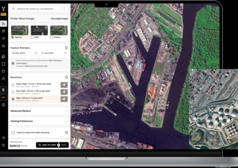
The partnership enables customers to order SpaceEye-T’s high-precision data through SkyFi‘s web, mobile and API platforms.
“To get the answers they need, our customers ask for two things: the resolution the job requires and an accessible, efficient way to order it without a procurement cycle,” said Luke Fischer, CEO of SkyFi.
“SpaceEye-T brings native 25cm optical tasking into the same workflow our users already run. They can define an area, order a collection, and get the data back through the platform, AI navigator, MCP, or API depending on their needs.”
All imagery acquired through tasking or archive orders is licensed under CC-BY-4.0.