
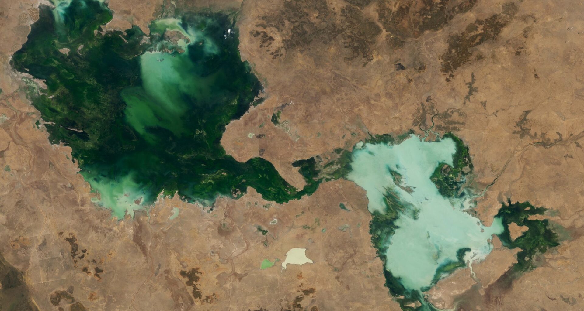
QUICK FACTS
Where is it? Barkly Tableland, Australia’s Northern Territory [-18.595019720, 135.2699610]
What’s in the photo? A series of ephemeral lakes that have merged into a single body of water
Which satellite took the photo? Landsat 8
When was it taken? Oct. 30, 2024
You may like
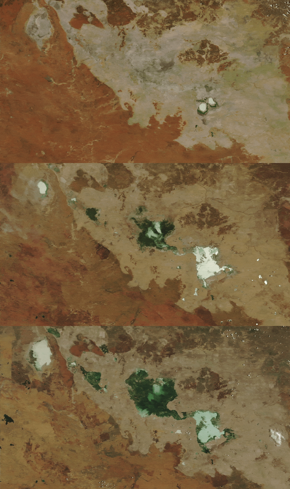
Additional satellite imagery shows how the lakes grew significantly between 2022 and 2024. (These images were captured by the MODIS instruments on NASA’s Aqua and Terra satellites.)
(Image credit: NASA Earth Observatory/Landsat/Terra/Aqua/MODIS)
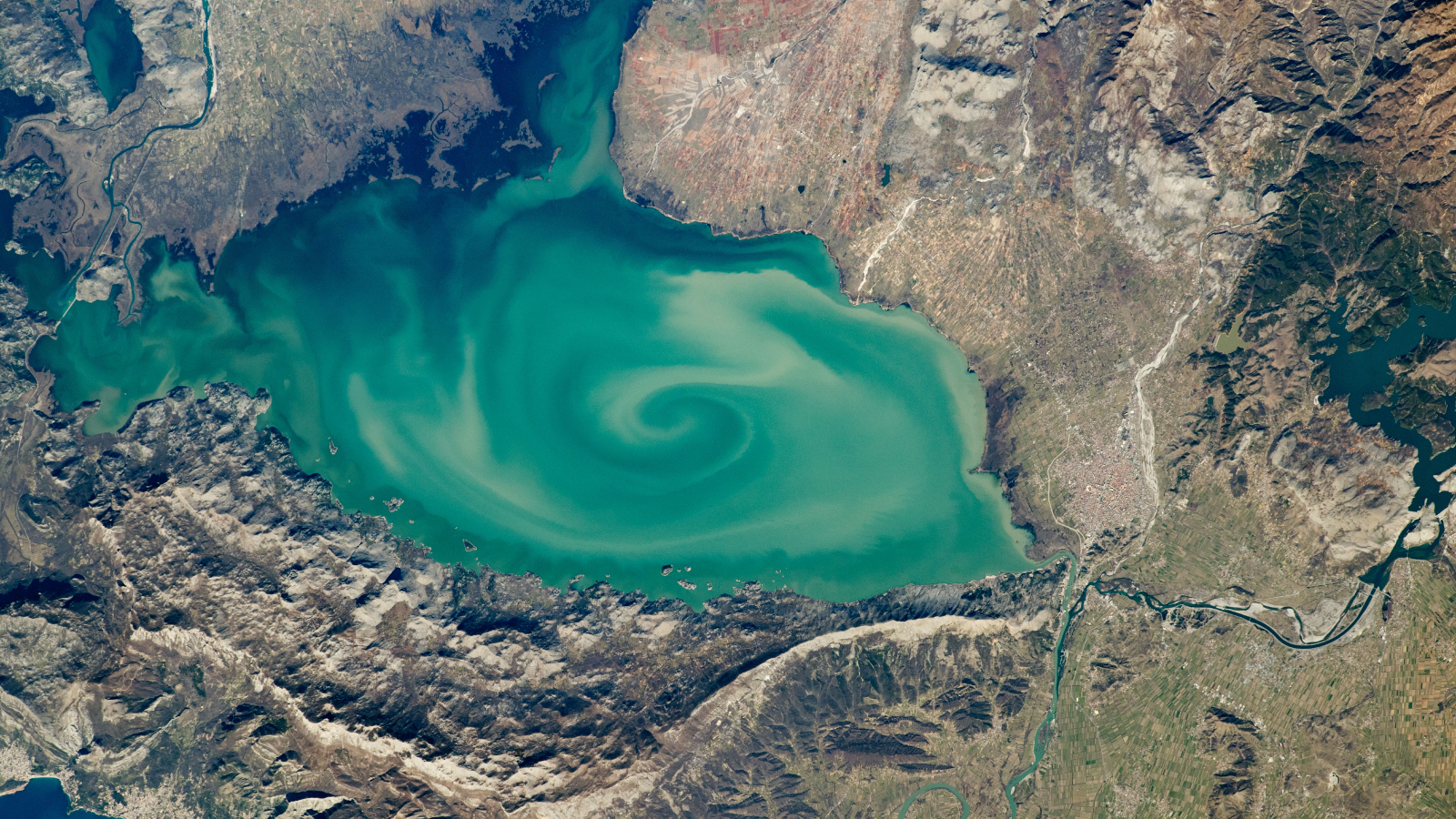
Swirling ‘cryptodepression’ lake
A 2020 astronaut photo shows a massive, milky-green vortex in Lake Skadar, which lies on the border between Montenegro and Albania.
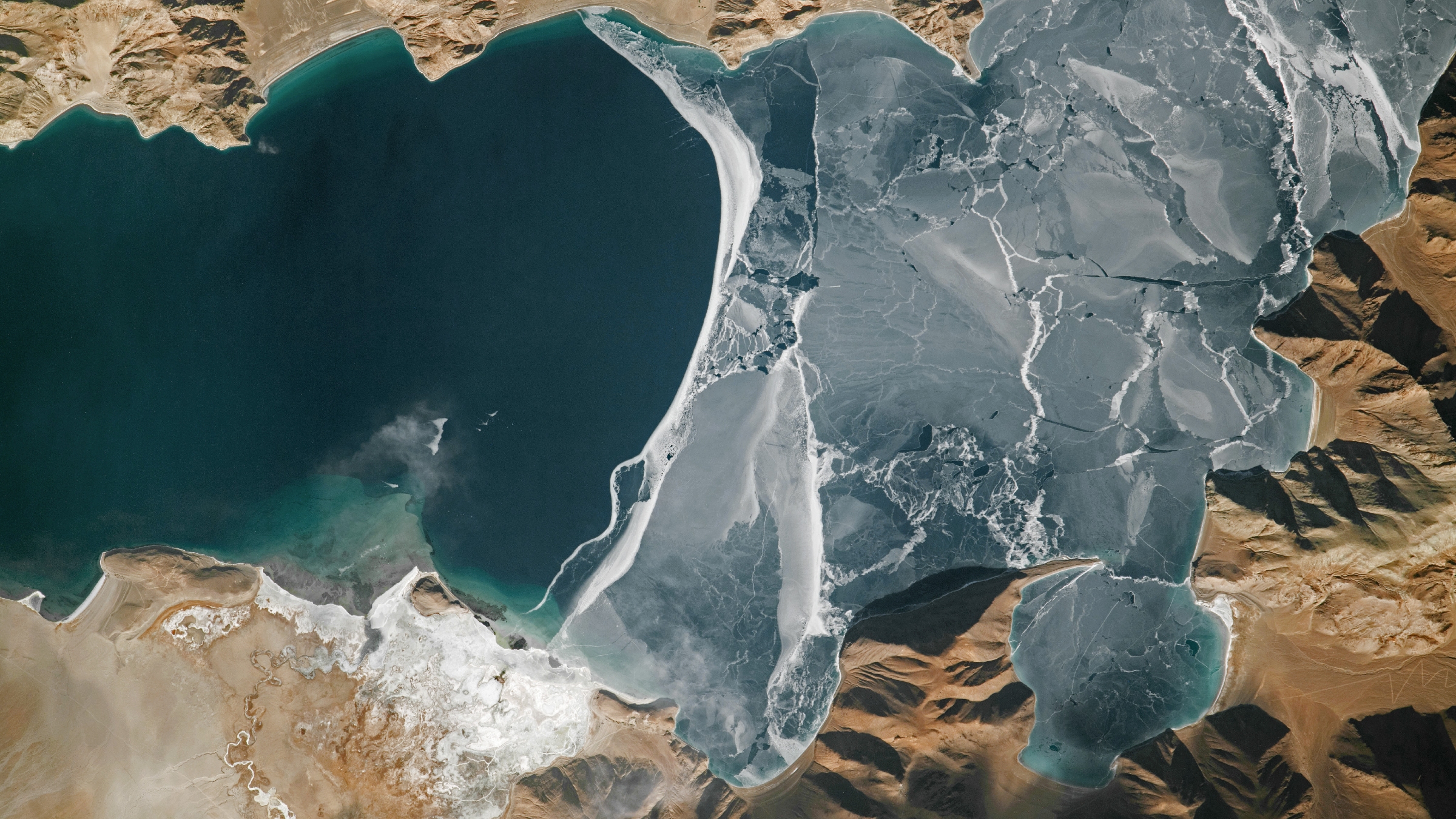
World’s highest frozen lake shatters
A 2024 astronaut photo shows the icy surface of Pangong Lake breaking apart in the lofty Tibetan Plateau, along a disputed border between China and India.
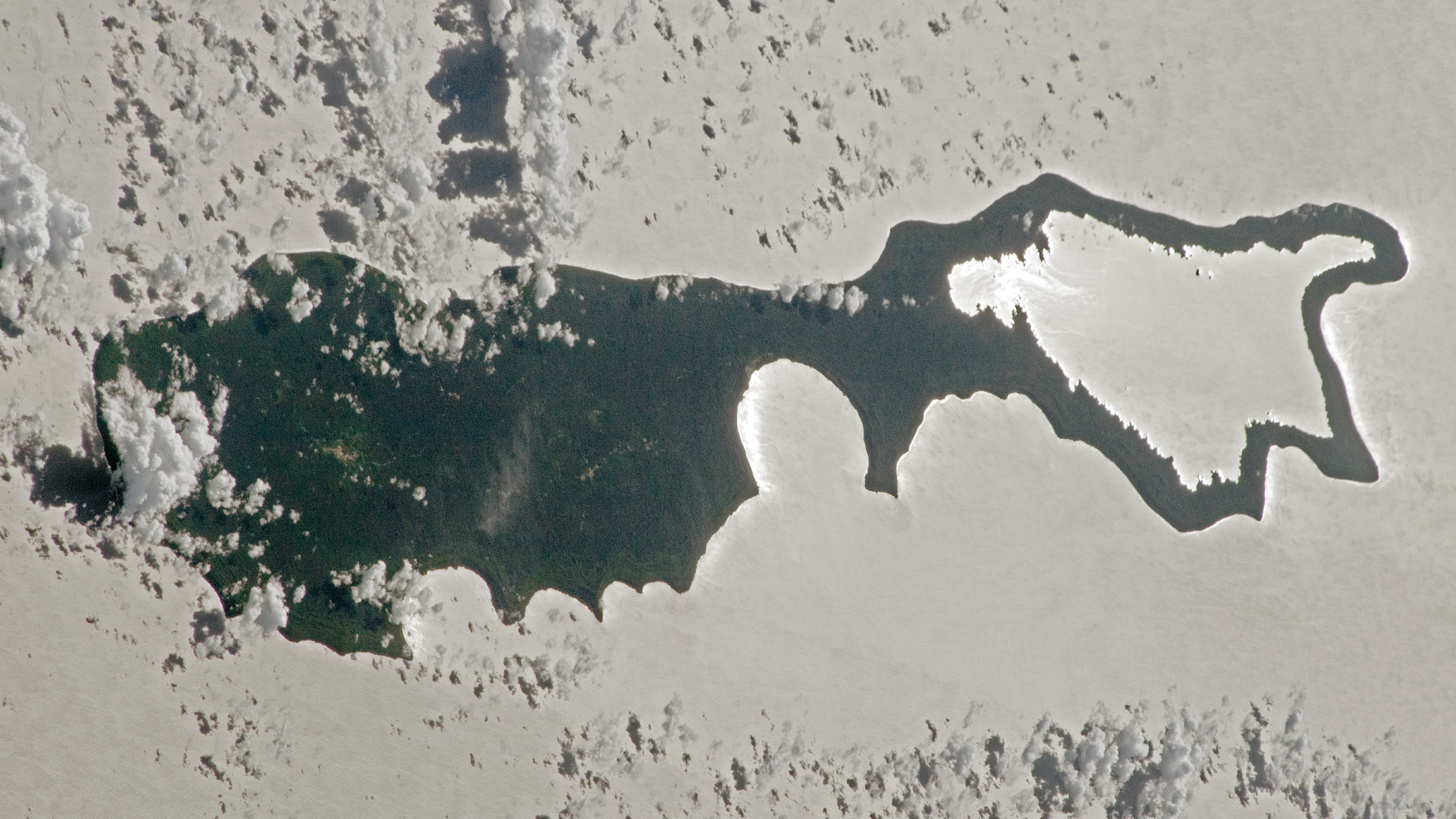
Sunglint ‘magnifying glass’ lake
A 2023 astronaut photo captured a “sunglint” illuminating one of the Solomon Islands. The rare phenomenon transformed the Pacific’s largest lake into a shining silver “lens.”
TOPICS