
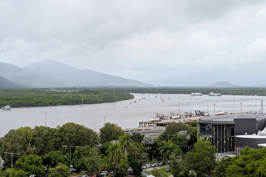
North Queensland is bracing for heavy rainfall and potential flash flooding as disorganised tropical low 29U approaches the mainland.
The system in the Coral Sea, 450 kilometres east-north-east of Cairns, is expected to cross Queensland’s North Tropical Coast on Friday.
The Bureau of Meteorology warned there was a moderate risk that the low would be upgraded to a tropical cyclone by then.
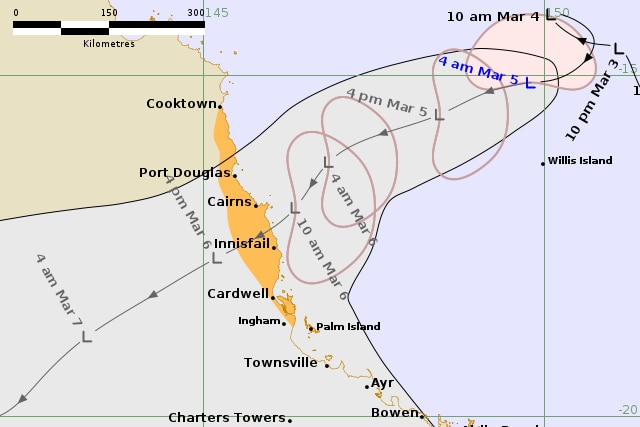
The tropical low 29U is moving towards the Queensland coast, and could still grow into a tropical cyclone before the weekend. (Supplied: Bureau of Meteorology)
The highest chance of the system becoming a tropical cyclone officially is through today and early tomorrow, when there is risk of it becoming a tropical cyclone, likely named Owen or Narelle.
However, meteorologist Harry Clark said the system weakened slightly overnight.
“It’s looking a bit disorganised in terms of its thunderstorm activity,” he explained.
“From a tropical cyclone point of view I guess [that] is a good thing as it means it is sort of limiting its potential strengthening.
“We are still expecting to see that tropical low come ashore tomorrow.”
A track map issued by the Bureau of Meteorology predicted the system would cross between Cairns and Innisfail tomorrow.
Rain is expected to increase on the north tropical coast from Thursday. (Supplied: Sangeetha Badya)
In its most recent update, the weather bureau warned that the low or tropical cyclone would deliver powerful winds as it reached the coastline.
Gales with wind gusts of up to 100 kilometres per hour are forecast to hit exposed coastal areas from Port Douglas and Cardwell from Friday morning.
Heavy rainfall, which may lead to flash flooding, is forecast to develop about coastal and adjacent inland areas north of Ingham from Thursday morning.
Mr Clark explained the heaviest rainfall was first expected at the northern end of the watch zone.
“The worst of the rainfall will be on the north-west of that system for the next 36 hours so towards Cooktown and Cairns.”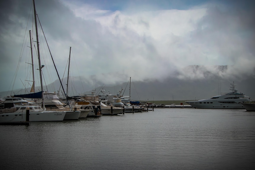
The tropical low is moving at a typical speed toward the Queensland coast. (ABC Far North: Conor Byrne)
The weather bureau said tides were likely to be higher than normal between Port Douglas and Ingham but were not expected to exceed the highest tide of the year.
The cyclone watch area extends from Cooktown to Palm Island and a flood watch is current for northern and far northern catchments.
Emergency services on stand-by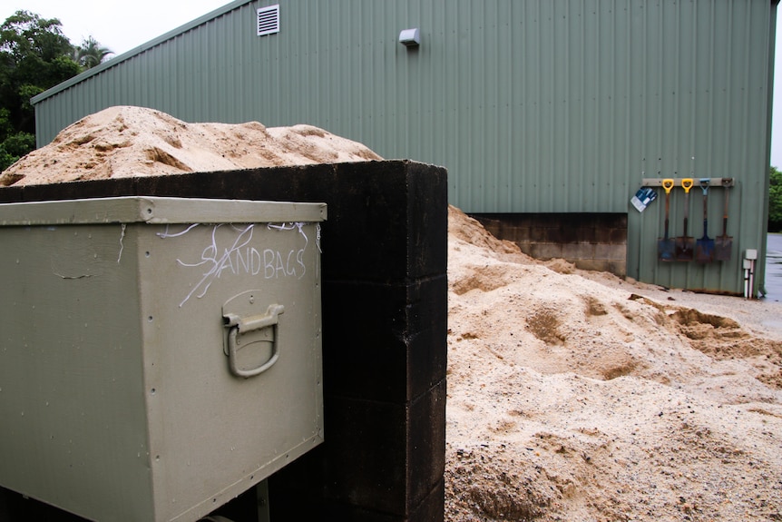
Sandbagging stations have been made available in Cairns. (ABC Far North: Conor Byrne)
The Queensland Fire Department has deployed staff to the region ahead of the possible cyclone.
State coordinator Rob Boniwell said five swiftwater rescue teams had been positioned between Cooktown and Ingham, “right the way along that eastern coastline to ensure we’ve got a good spread of response capability”.
Chief Superintendent Boniwell said it was likely an additional five crews would be positioned as far south as Gladstone, as well as at inland locations such as Quilpie.
“It’s really necessary for us to target and position our resources where they’re most needed,” he said.
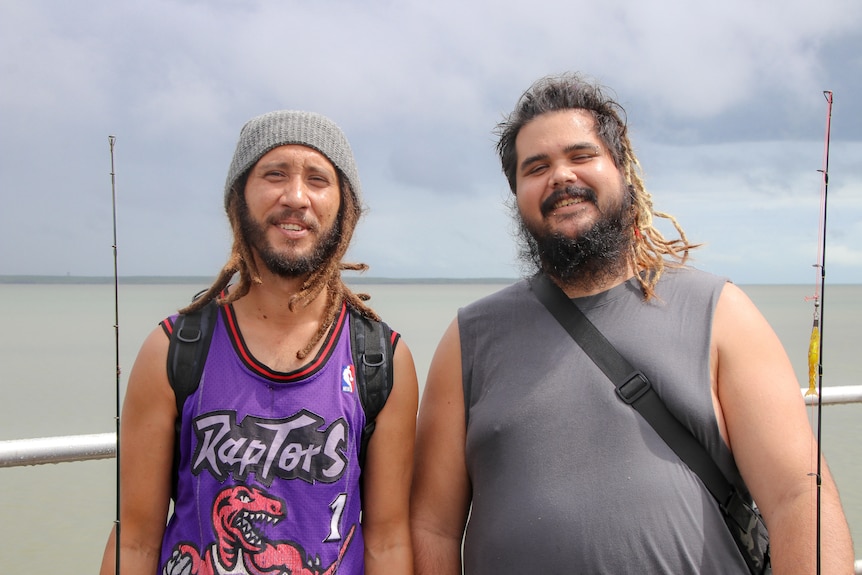
Cairns residents Elijah Raymond and Angus Caeli are not very concerned about the chance of a cyclone. (ABC Far North: Conor Byrne)
No worries about wet weather
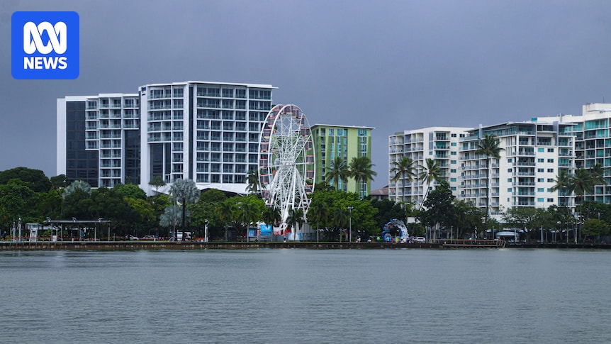
Dark clouds have rolled in over Cairns but the wet season weather has not stopped people from spending time outdoors.
Trinity Beach resident Elijah Raymond said he was not concerned.
“We don’t mind a bit of rain. It’s the far north. It’ll dry off eventually,” he said.
“As long as we can go fishing, we’re all good.”

Deb Bowen is visiting her former home, Cairns, from Brisbane and is hoping to return before the low reaches the coast. (ABC Far North: Conor Byrne)
Visitor Deb Bowen said it was wise for locals to prepare their homes, but she was not worried.
“I think they need to be informed,” she said.
“I’m staying in a motel, so I’ve got nothing to prepare.”