
 The warning was issued at 3.47 pm on Monday 9 March with widespread major flooding possible across the Burnett catchment.
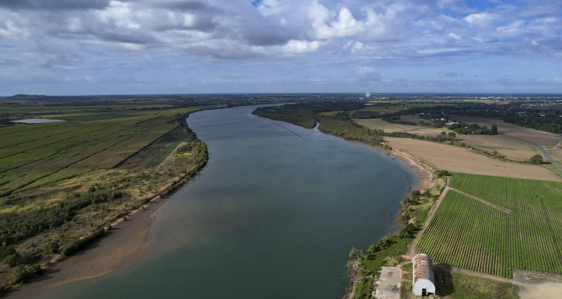
The Bureau of Meteorology has issued a major flood warning for the Burnett River and has cautioned that similar levels experienced in the December 2010 flood event is possible.
The warning was issued at 3.47 pm on Monday 9 March with widespread major flooding possible across the Burnett catchment.
The Bureau states that major flooding is possible at Bundaberg from Tuesday evening with “similar levels to Dec 2010 possible” which was a 7.92 m flood at the Bundaberg gauge on Targo Street.
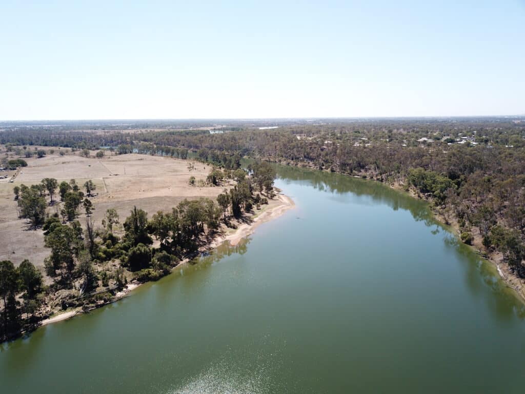
Residents are urged to know their flood risk by accessing Council’s flood gauge mapping tool.
Heavy rainfall has been recorded over the Burnett River catchment since Friday morning, with further rainfall forecast for the remainder of Monday and into Tuesday.
This has caused significant river and creek level rises along the Burnett River and tributaries, where moderate to major flooding is occurring or may develop, including major flooding possible at Bundaberg.
Further river level rises are possible with forecast rain. A Severe Weather Warning for heavy rainfall remains current.
The Bundaberg Local Disaster Management Group (LDMG) remains at stand up and is closely monitoring the situation with regular updates from the Bureau and District Disaster Management Group (DDMG).
The LDMG has activated its Local Disaster Coordination Centre and will continue to analyse the latest data and flood modelling to forecast potential impacts on specific areas across the region, including low-lying communities.
If the flood risk for any particular area increases, locally specific information will be issued through Council’s Disaster Dashboard.
Flood gauge mapping – how to
In the Bundaberg Region, residents have access to tools on the Council website including the Burnett River flood gauge mapping system which provides targeted property flood information so residents can understand what flood gauge heights mean for their property.
Residents can use this tool to simulate the extent of historical floods by using the Flood Gauge Mapping System and following the below steps:
Open Flood Gauge Mapping System here
Choose ‘Select a Flood Gauge’ and next
Choose ‘Bundaberg (Targo Street)’ and next
From the drop down menu, select the closest increment based on the table below (for example, to see the January 2013 flood level select 9.5 or for the December 2010 level select 7.92) and select.
Safety advice
Don’t drive, walk, swim or play in floodwater because it is dangerous.
Stay away from flooded drains, rivers, streams and waterways.
Obey road closure signs. Plan ahead so you don’t drive on flooded roads.
Check the ABC and local media for updates. The situation can change quickly, so stay informed.
Residents are encouraged to continue monitoring the Disaster Dashboard and follow advice from emergency services.
For emergency assistance call SES on telephone number 132 500. In life-threatening emergencies, call 000 (triple zero) immediately.
Bureau of Meteorology advice is also available by dialling 1300 659 219.
Warning, rainfall and river information is available at http://www.bom.gov.au/australia/flood.