
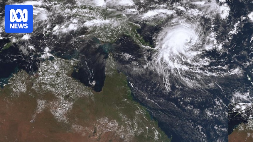
Severe Tropical Cyclone Maila’s days of rest are over, with the system again heading west towards Queensland after stalling in the Solomon Sea.
The Bureau of Meteorology said Maila was still expected to cross the Far North Queensland coast on Monday.
Senior meteorologist Liam Smart said the category four system, which is producing wind gusts of up to 260km/h, briefly paused due to a lack of steering winds.
“Tropical cyclones still need something to move them around,” he said.
“Normally there are steering winds from the east or west but, in this case, there aren’t any.”
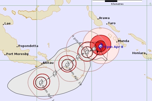
Severe Tropical Cyclone Maila is expected to make landfall on Monday somewhere between the tip of Cape York and Cairns. (Supplied: Bureau of Meteorology)
That changed this morning, and the system is now moving west towards the Coral Sea and Australia at 7km/h.
Tourists urged not to cancel plans as Cyclone Maila intensifies
“At this stage we’re forecasting a category two crossing, but it’s still quite far out and may change.”
Maila is expected to make landfall “early next week”, potentially crossing the Cape York Peninsula, a similar region to where Severe Tropical Cyclone Narelle crossed less than three weeks ago.
“There’s still a fair bit of uncertainty about exactly where it will cross,” Mr Smart said.
Cook Shire Mayor Robyn Holmes said communities in Cape York were preparing for the cyclone but were still in the early stages of recovery from Tropical Cyclone Narelle.
Councillor Holmes said many landholders had not yet been able to do a full assessment of the damage, and access was still being restricted by road washouts.
She said even without more damage, any more heavy rainfall would hamper the recovery effort.
“We’ve just cleaned up … we haven’t fully recovered and now we’ve got to brace ourselves for another potential impact,” she said.
“You can’t avoid it, there’s no avoiding it, it will really depend on where the cyclone comes in.”
Above-average temps before a cool change
Back on land, much of Queensland is experiencing mostly sunny conditions with temperatures well above average.
The bureau said temperatures were forecast to be between 5 and 7 degrees Celsius above average across large parts of the central and southern interior.
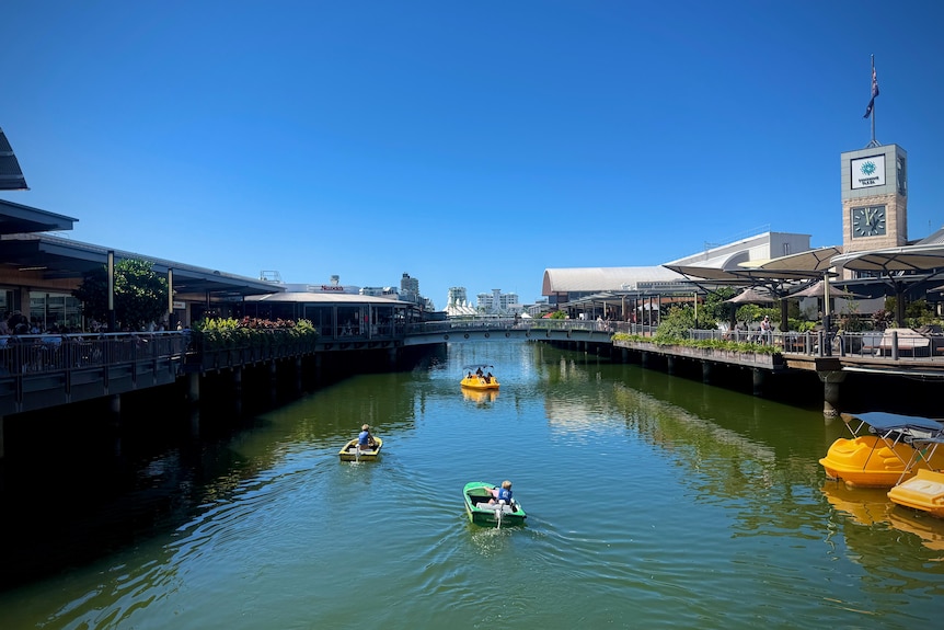
Visitors to the Sunshine Coast enjoyed the warm weather on Wednesday afternoon. (ABC Sunshine Coast: Jessica Ross)
St George could reach a record April maximum today, with temperatures forecast to reach 37C.
The current April record of 36.2C was set in 2016.
The Cassowary Coast is the only region likely to see rain in the short term, with light showers expected and the chance extending south towards the Whitsundays later in the week.
In South East Queensland, temperatures are forecast to be 3 to 4 degrees above average today before easing as a weak cool change moves through later in the week.
The bureau said that trough would be felt more intensely in the west when it moved through from Saturday, bringing a sharp, cool change.
“That could see temperatures drop to around 7 degrees below average,” Mr Smart said.
Despite the cooler conditions, skies are expected to remain mostly clear across the Darling Downs.
Greenmount farmer Isaac Anderson said conditions were already becoming dry.
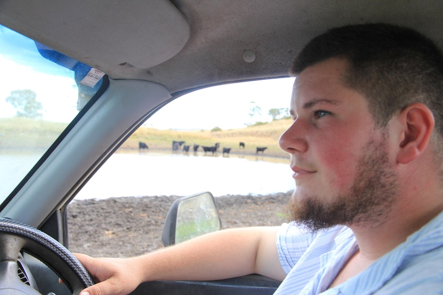
Isaac Anderson is hoping for some significant rain before the end of autumn. (ABC Southern Queensland: Dan McCray)
“We’ve had nowhere near the rain we had at this time last year,” he said.
“It’s starting to get a bit dry now.”
Coastal communities are also being warned to expect rough seas and dangerous surf conditions later in the week, driven by Severe Tropical Cyclone Vaianu south of Fiji.
“The swell from that system takes time to reach Queensland, but it should arrive around Sunday,” Mr Smart said.