

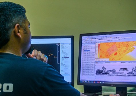
 A team member examines airborne LiDAR survey data gathered in Tonga. Credit: SPC.
Experts from across the Pacific community gathered in Fiji recently to discuss ways to strengthen LiDAR capabilities.
LiDAR scanning is becoming increasingly important to the Pacific Islands community for generating terrain models and 3D maps that help to support risk assessment and decision-making.
But according to The Pacific Community (SPC), “LiDAR coverage across the Pacific remains uneven, and different approaches to procurement, data quality and application vary significantly, thus creating challenges for coordinated investment and effective regional planning”.
That’s why representatives from the island nations’ meteorological services, disaster management offices, and lands and survey departments met with regional organisations, development partners and technical experts on 20 April in Nadi, Fiji, for a one-day seminar.
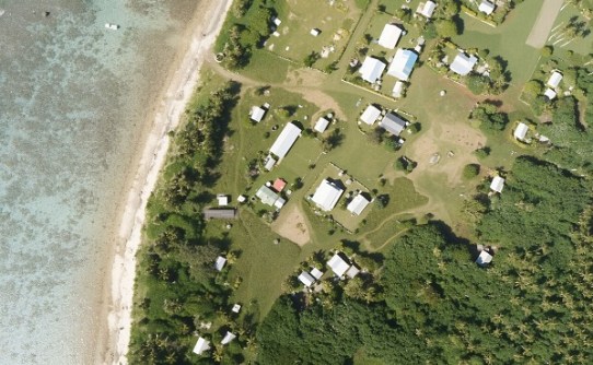 A high-resolution photo captured during the LiDAR survey in Tonga. Credit: SPC.
The aim of the event was to strengthen national decision-making on LiDAR investments and informing future funding and partnership opportunities.
“In a region facing rising seas, the difference between a community with feet in water and one on a five-metre hill is the difference between manageable risk and existential risk,” said Litea Biukoto, Deputy Director of the Disaster and Water Resilience Programme with the SPC.
“We can’t make responsible adaptation decisions if our elevation baseline can’t tell us which is which.”
Regional co-ordination
The one-day consultation identified the need to develop a regional LiDAR decision‑support and prioritisation guideline.
Such a guideline would support national decision‑making while providing a common reference framework for regional co-ordination, investment planning and resource mobilisation.
Discussion focused on strategic and decision‑support considerations, specifically on how LiDAR survey can best support and inform early warning systems, disaster risk reduction and climate adaptation, rather than detailed technical specifications.
Technical challenges related to data quality, standards and consistency were identified for follow‑up actions.
“We all know how incredibly impactful sea-level rise is becoming and is going to be,” said UNDP Technical Specialist consultant, Arthur Webb.
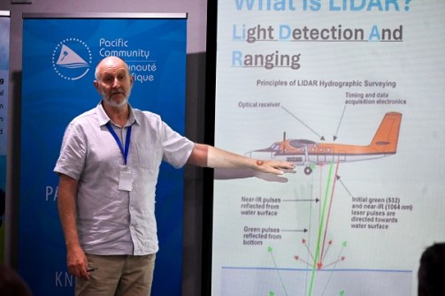 Arthur Webb, UNDP Technical Specialist consultant. Credit: SPC.
“It won’t stop for hundreds of years (from) now, and we have to start to adapt in a rational and practical way,” he added.
“The only way we can do that is if we prepare ourselves by understanding the problem very accurately and knowing exactly how to use our limited resources in the most strategic way.”
The event was convened by SPC with support from Secretariat of the Pacific Regional Environment Programme (SPREP) through the Weather Ready Pacific (WRP) program, and in coordination with the United Nations Development Programme (UNDP), the Pacific Regional Disaster and Emergency Managers Meeting (PRDEMM), the Pacific Geospatial and Surveying Council (PGSC), and the Pacific Islands Marine and Ocean Services (PIMOS) panel.