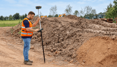
CHCNAV ViLi i100: Combining GNSS RTK and LiDAR for Smarter Surveying
Surveying becomes more challenging when satellite signals are obstructed by dense vegetation, buildings or structures. Conventional GNSS receivers…

Browsing Tag