
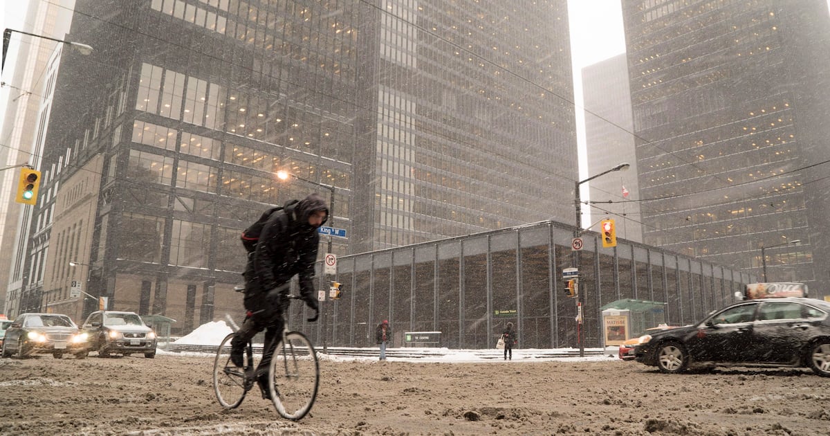
Environment Canada issued an alert Friday saying Toronto and surrounding areas could see between 2 and 10 cm of snowfall over the weekend.
A special weather statement has been issued for Toronto and much of the surrounding area ahead of a blast of winter weather this weekend.
Environment Canada sent out the alert Friday afternoon and said Toronto could see snowfall amounts of two to 10 cm starting Sunday morning.
“A low pressure system could bring significant snowfall to parts of southern Ontario on Sunday,” the national weather agency said. Most of southern Ontario is covered by the special weather statement.
“Motorists should expect difficult winter driving conditions and adjust travel plans accordingly. Poor weather conditions may contribute to transportation delays.”
Sunday’s snowfall alert comes amid Friday’s seasonably mild high of 11 C, which will be the last double-digit daytime high Torontonians see for the foreseeable future.
The mercury is expected to rise to 7 C on Saturday, dropping to just 2 C on Sunday, when the “wintry mix of rain and snow” arrives.
“Periods of moderate to heavy wet snow will fall around the city through to mid-afternoon. Then flurries will linger into the evening,” CP24 Meteorologist Bill Coulter said Friday.
Although the snowfall will be significant, it isn’t expected to pile up, he noted.
“The wet snow will come down hard at times through the midday but melt on contact with roadways,” Coulter added.
“The ground isn’t frozen so it’s not like your typical mid-winter storms.”
He said the biggest issue will be reduced visibility and slushy roadways.
Monday will see a daytime high of just 1 C and a high of 4 C is expected on Tuesday with the possibility of isolated showers or wet flurries.