
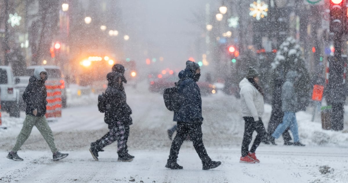
A light layer of snow is expected to hit the GTA. CP24’s Melissa Duggan on what to expect and how the city is preparing.
Environment Canada has issued a special weather statement that the first snowfall of the season is expected to begin this weekend in parts of Quebec and Ontario.
Quebec
In some areas north of Montreal, up to 25 cm of snow is expected, including areas like Saint-Eustache, Mirabel, Blainville, Mascouche, Sainte-Agathe-des-Monts, Rawdon and Saguenay.
On the island of Montreal and in some areas south of Montreal, up to 10 cm of snow is expected.
Snowfall is expected to begin Sunday afternoon and continue through Monday morning.
“Snowfall could make roads snowy and slippery, making travel difficult,” the notice states. “Some areas, particularly along the river, could experience a change to rain or a mix of rain and snow.”
Ontario
In some areas of eastern Ontario, up to 15 cm of snow is expected, including Kingston, Cornwall and Ottawa.
In Toronto and surrounding areas like Peterborough, Ajax, Brampton and Burlington, up to 10 cm of snow is expected.
Areas like Stratford, London and Welland could also see up to 10 cm of snow.
The snowfall across many parts of Ontario is expected to begin Sunday morning and continue through the night.
“Motorists should expect difficult winter driving conditions and adjust travel plans accordingly,” according to the notice. “Poor weather conditions may contribute to transportation delays. Installation of winter tires should be considered prior to Sunday.”
Yukon and Manitoba
A special snowfall warning for up to 15 cm of snow and a winter storm warning have been issued for a localized area near Whitehorse, Yukon, starting Saturday evening and continuing through Sunday evening.
“Roads and walkways will likely be difficult to navigate due to accumulating snow,” the notice says.
North of Whitehorse, near Dempster Highway and Richardson Mountains, a special blizzard warning has been issued, with winds and blowing snow expected late Sunday morning into the evening.
In parts of northern Manitoba, a wind warning has been issued, with winds reaching 70 km/h and gusts exceeding 90 km/h.
As a result, Churchill is expected to receive 4 to 8 cm of new snow, the warning notes.
“Reduced visibilities in falling and blowing snow will likely occur with periods of near-zero or blizzard conditions possible at times. Conditions will improve on Saturday afternoon,” the warning said.
British Columbia and Alberta
For B.C. and Alberta, Environment Canada has issued special weather warnings in several areas.
A fog advisory has been issued in areas north of Edmonton for Saturday morning.
“Travel will be hazardous in some locations. Be prepared for areas of near-zero visibility and allow extra time to reach your destination,” the notice notes.
North of Vancouver, there are special rainfall and wind warnings issued for Saturday and Sunday.
Impacted areas could feel winds as strong as 70 km/h, with gusts exceeding 90 km/h and 110 km/h over exposed coastal areas.
In addition, between 50 to 85 mm of rainfall is expected by late Sunday in some areas north of Vancouver, increasing the risk of localized flooding, reduced visibility and impacting driving conditions.
Due to the rainfall, the warning notes of possible power outages, disruptions to services and travel and possible damage to roofs, fences, branches or soft shelters.