After the cold front passes, Arctic air will move in, causing temperatures to drop. Rainfall is expected to transition to snow by Wednesday evening.
DON’T MISS: Winter-proof your home with a heat pump that even works in -30°C
There is also a chance for an intense snow squall to develop, potentially affecting areas such as Port Colborne, Niagara, and Buffalo, leading to hazardous conditions.
Lake-effect snow picks up Thursday and Friday, American Thanksgiving travel jeopardized
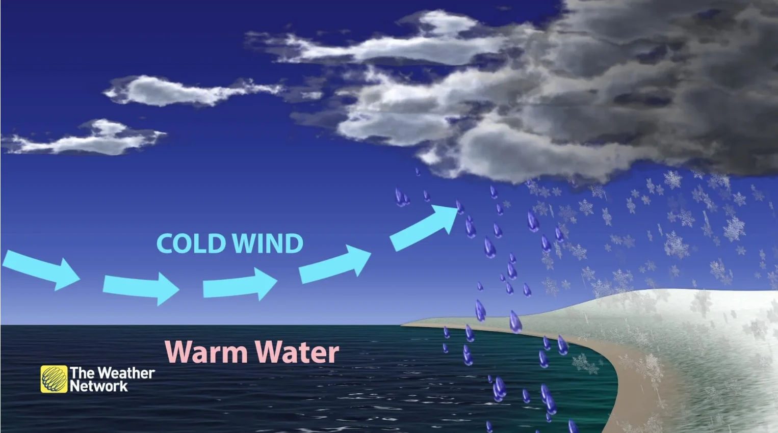
Prepare for significant lake-effect snow targeting traditional snowbelt regions in southern Ontario and surrounding areas on Thursday and Friday.
DON’T MISS: Winter’s wrath unleashed: The ‘Great Lake-effect’

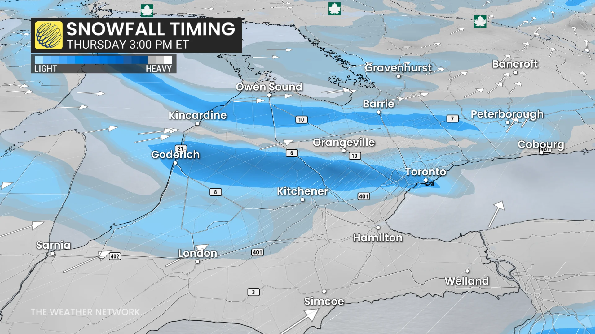
The heaviest snowfall is expected downwind of Lake Huron and Georgian Bay, where 20-30 cm could accumulate over several days.
Strong snow squalls may develop, potentially bringing thundersnow and reaching as far as the Greater Toronto Area (GTA) and beyond.

Squalls are expected to impact the 400-series highways Thursday afternoon and evening as they shift southward. Gusty winds of 50-70 km/h will accompany the snow, resulting in whiteouts, potential road closures, and challenging travel conditions within the snowbelt zones.

