
Published on Dec. 13, 2025, 12:40 AM
The weekend is set to end on a snowy note as a potential weather bomb makes its way up the East Coast late Sunday.
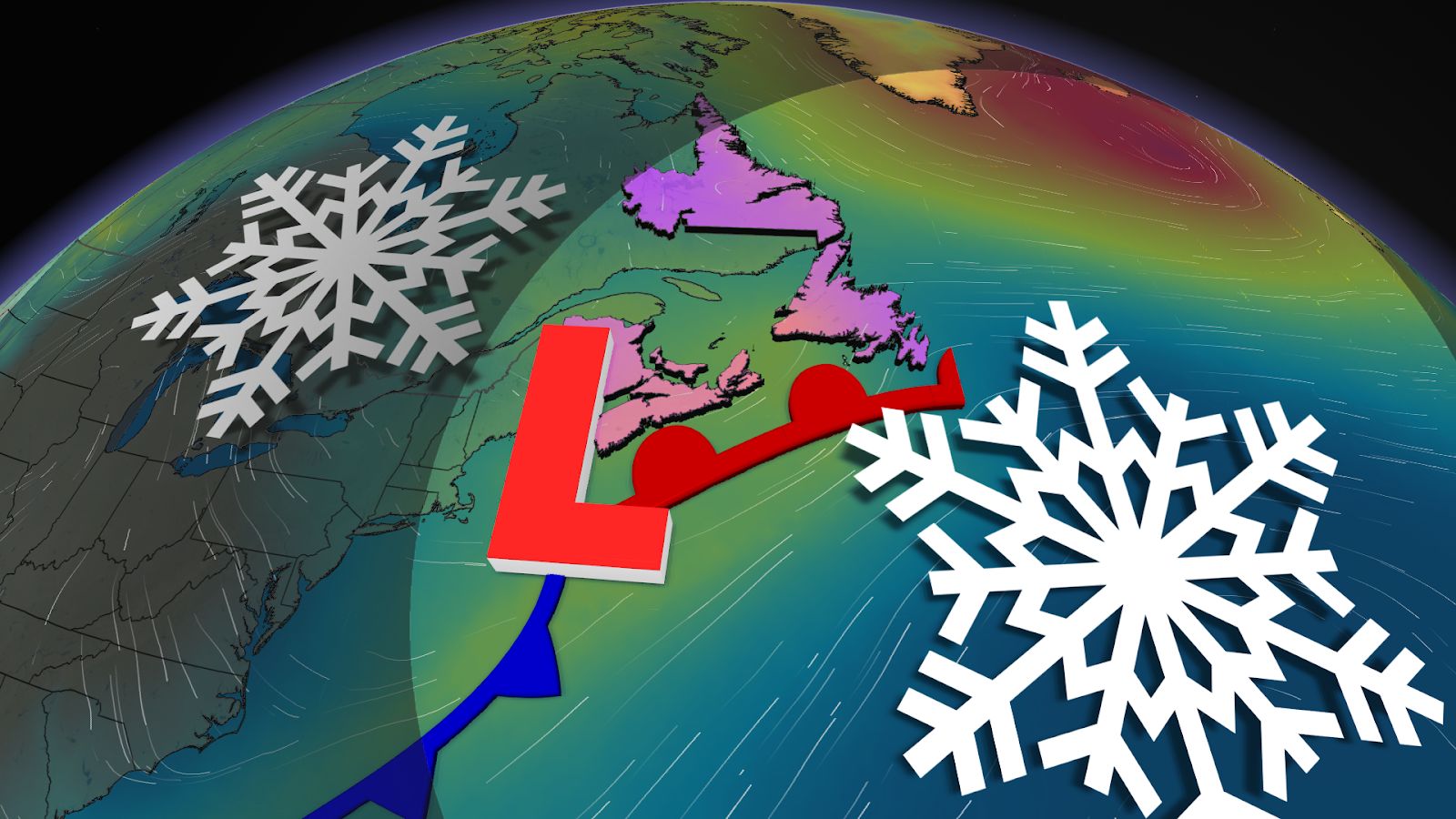
Enjoy the calm while it lasts, Atlantic Canada, because the weekend is set to end with a powerful storm that could bring heavy snowfall and blizzard-like conditions to the region heading into the workweek.
The intensifying system will track up the East Coast, reaching the Maritime provinces on Sunday night and Newfoundland by Monday morning.
Currently, forecasters are watching the storm’s barometric pressure drop fast enough that it could become classified as a weather bomb moving through the weekend.
DON’T MISS: Extreme cold on the move after Canada notches -50C reading
The forecast is subject to change quickly depending on the system’s track, which could take an unexpected turn offshore, so be sure to check back frequently to keep up-to-date on the current information.
Heavy snow brushes the Maritimes Sunday night
Snow is expected to start Sunday night as the storm sweeps by Nova Scotia and Prince Edward Island, clipping portions of southern New Brunswick on the way.
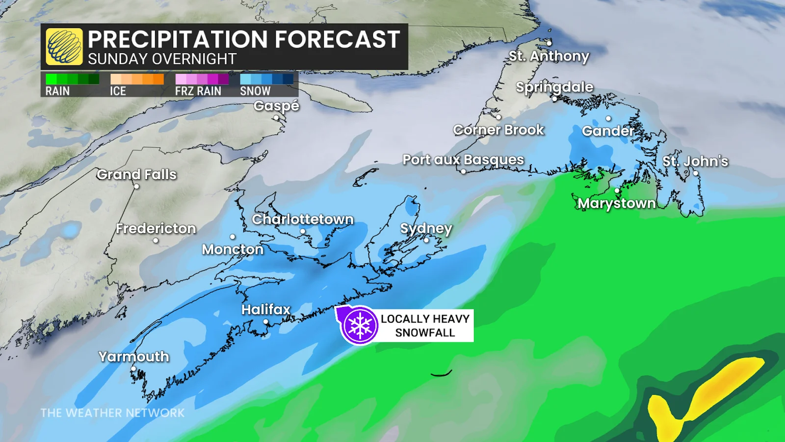
Out of the Maritime provinces, Nova Scotia is forecast to take the brunt of the snow, which will be heaviest heading into Monday morning.