
Families enjoy tobogganing at Riverdale Park East after snowfall in Toronto on Dec. 25, 2020.CHRIS HELGREN/Reuters
Most Canadians still wake up to snow-blanketed streets on Christmas morning. Last year, 76 per cent enjoyed a white Christmas, defined by Environment and Climate Change Canada as at least two centimetres of snow on the ground by 7 a.m. on Dec. 25. But the experience of trudging through knee-deep drifts is becoming less likely as Decembers grow warmer and snowfall declines.
A Globe and Mail analysis of 50 years of weather data from 43 cities and ski destinations shows that while white Christmases remain frequent, snow depth is shrinking. In the past five years, 27 locations have seen thinner snowpacks – accumulated snow – compared with their long-term averages, calculated from 1975 to 2024.
The steepest declines are in places that Canadians often associate with winter wonderlands. Banff and Whistler, two of the country’s most famous ski destinations, have experienced some of the largest Christmas Day snow losses on the ground among all cities studied. That does not mean a snowless Christmas in the mountains. Both destinations still record snow on most Dec. 25s, easily clearing the two-centimetre threshold. But the data show that the snowpack is, on average, noticeably shallower than it was a few decades ago.
A similar pattern appears in several Quebec cities along the northern stretch of the St. Lawrence River, traditionally a cold and snowy corridor. These communities still see white Christmases most years, but the depth of snow on the ground has been trending downward at a relatively faster pace than in most other cities analyzed by The Globe.
The thinning snow is closely tied to rising December temperatures. Studies have linked the reduction in snowpack to human-caused global warming, and showed that even a modest increase in temperature could translate into a major reduction in snowpack. The Globe’s analysis found that 38 of the 42 cities with complete temperature data have experienced warmer Decembers when comparing recent years to the historical average.
Snow accumulated on the ground is primarily influenced by temperature and the amount of snowfall. Precipitation almost always starts as snow high in the clouds. Whether it reaches the ground as snow or rain depends on the temperature of the atmosphere layers it falls through. If the lower layers are warm, the snow melts into rain. If the air stays cold all the way down, it remains snow, said Lawrence Mudryk, a research scientist at Environment and Climate Change Canada.
Dr. Mudryk attributes the shift toward more rain than snow throughout the winter to climate change. “What you might see more of in the future is increased amounts of rain before Christmas, and then that reduces the total amount of accumulation of snow that we see by Christmas.”
Most of Canada’s population lives in the southern part of the country, an area that has traditionally guaranteed snowy winters. That snow line has shifted further north, and many Canadian cities now experience winters with alternating rain and snow.
“Snow and ice are an iconic part of the Canadian landscape. We might have to look to warmer locations and see how they already celebrate holidays,” Dr. Mudryk said. “But it’s more than just the cultural impact. More importantly, there are also environmental and ecosystem impacts as well.”
The country’s three largest metropolitan areas illustrate how those national trends play out locally in very different winter climates.
Montreal
In Montreal, Christmas still reliably arrives with snow on the ground, but the blanket is thinning. Average snow depth on Dec. 25 has fallen by nearly 40 per cent in recent years compared with the long-term average since 1975. At the same time, December temperatures have warmed sharply by nearly three degrees, while average daily snowfall has declined.
The result is not fewer white Christmases, but a noticeably lighter snowpack than past generations would not have expected in one of Canada’s coldest major cities.
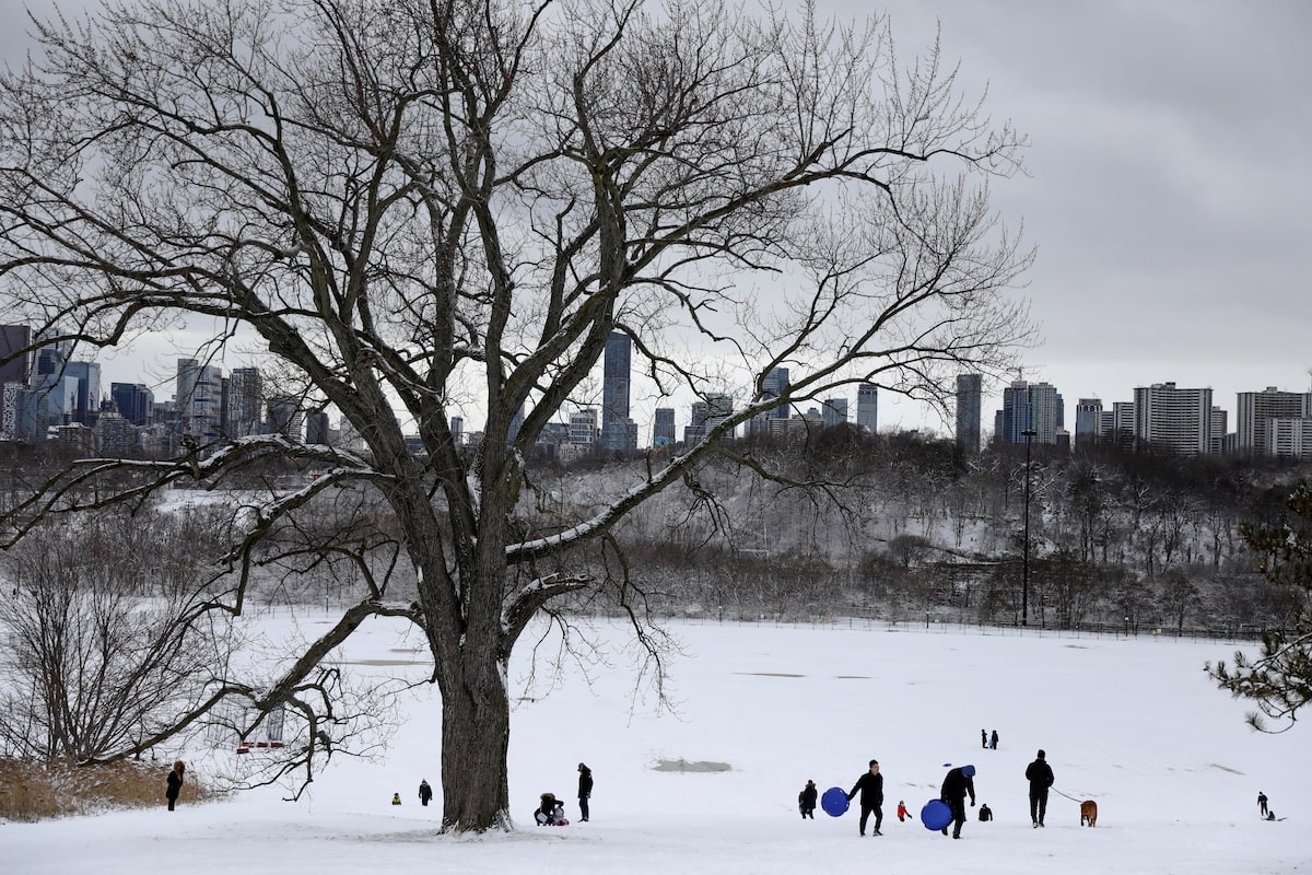
Toronto
The long-term and recent average snow depth on Christmas Day remain fairly unchanged in Toronto, but that doesn’t mean uneventful year-to-year change. In fact, the city has swung between deep snowpacks and bare ground on Christmas over the past 50 years.
Toronto’s December temperatures have warmed by 2.1 degrees Celsius to -0.2°C in recent years, hovering right at the freezing point where precipitation can fall as either rain or snow. At these milder temperatures, Toronto’s white Christmas has become increasingly dependent on the timing of winter storms rather than consistent seasonal accumulation.
Vancouver
Christmas Day snow records in Vancouver tell a story of how unusual and brutal Arctic chills can dramatically reshape holiday experiences. A city known for its grey, rainy winters has seen snow on the ground only about half the time over the past five decades.
But when Arctic-origin cold air pushes much farther south than normal, the Lower Mainland can experience substantial snowfall – and those rare events have delivered Vancouver’s only true white Christmases. During 2008, Vancouver recorded the second-deepest Christmas snowpack among 43 cities analyzed, just behind Saguenay, Que.