Storm Update: 10:15PM
All weather warnings have expired for this storm.
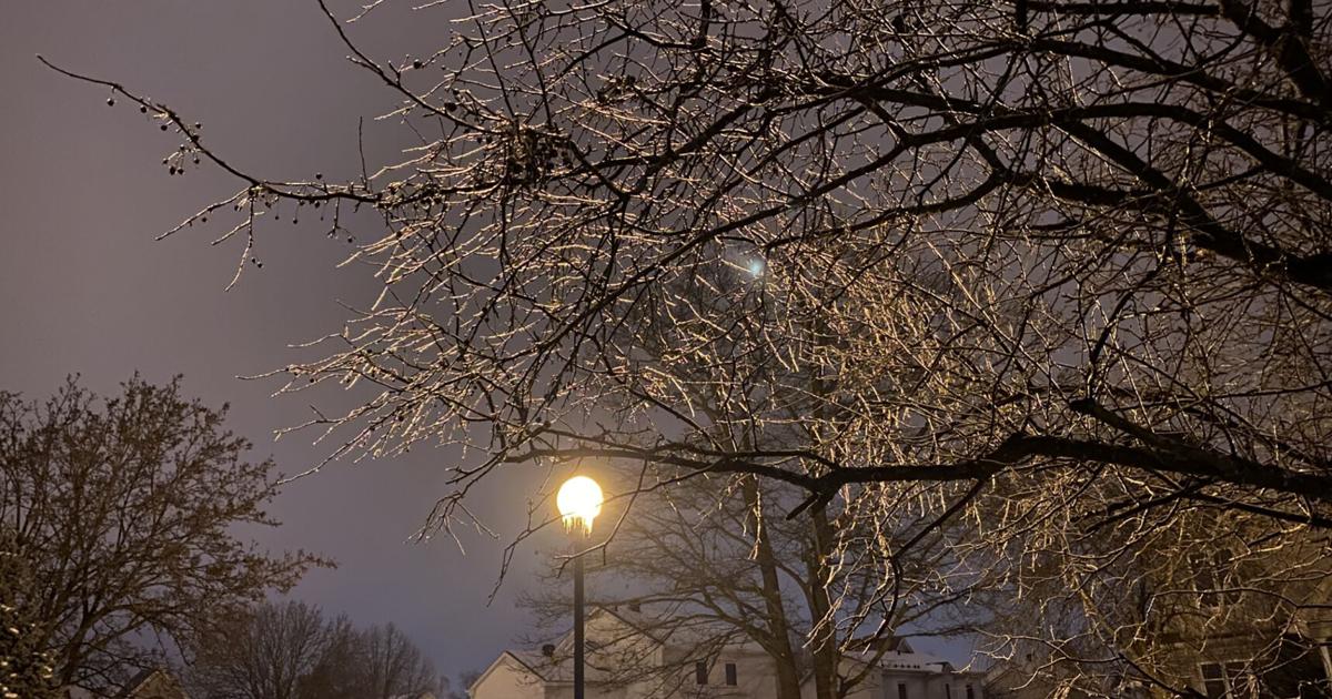
We really caught a break in Montreal today. Less precipitation fell and temperatures warmed up more than expected, allowing most of the 15mm of freezing rain that fell overnight to melt off the trees and power lines. This is a big break for Montreal, as gusty west and southwest winds up to 90km/h are on the way shortly. Power outages sit at around 20,000 in the province.
Dropping temperatures, gusty winds and some light snow will create icy roads later this evening. Montreal is currently 3C (38F).
Previous Post: The good news is that temperatures on the Island of Montreal are now at or above freezing. The freezing rain has changed to plain rain for many locations and should end shortly. A strong cold front is moving southeast towards the St. Lawrence Valley. Expect winds to increase sharply this afternoon and gust between 70 to 90km/h, easing back to 50 to 70km/h this evening. Currently there are 23,000 clients without power in Quebec. Power outages will rise with the expected strong winds.
Any precipitation will change to snow this afternoon as temperatures drop. Most main roads are in decent shape, but any residential streets are skating rinks and will likely stay that way.
Despite temperatures rising above freezing here on Ile Perrot, residential roads are skating rinks. Travel with great care today. Temperatures will plumet this afternoon along with very strong winds. Any standing water will freeze quickly. (Valley Weather)
Previous Post: Strong low pressure has deepened rapidly over the last 24 hours to a sub 975mb low near upper Michigan. The storm will continue to strengthen while lifting into central Quebec on Monday.
Precipitation has overspread southern Quebec along a trailing warm front early Monday morning, with several millimetres of ice accretion already occurring. Temperatures remain below freezing, near -3C (27F), and will slowly warm to the freezing point later today. More rain is moving in from the southwest early Monday, so we can expect several more hours of freezing rain, with up to 15mm possible for Montreal, and up to 25mm in parts of the Ottawa Valley. Well north of Montreal, heavy snow is expected, with 15-25cm forecast.
A strong cold front will move across the region late Monday afternoon, with much colder air surging in behind it. Temperatures will fall from highs of 1CV )33F) today down to -12C (10F) by Tuesday morning. Windchill values will plumet into the minus 20s. The colder air arrives very quickly behind the front, overnight Windsor, Ontario dropped from plus 14C (56F) at midnight, to -2C (30F) at 6am.
Along the front, winds will gust from the southwest and west up to 90km/h in the St. Lawrence Valley. The combination of ice covered trees and hydro lines will result in the potential for significant power outages across the region Monday afternoon. Winds will increase by late afternoon and early evening, easing back to 50 to 70km/h overnight and Tuesday.
Any precipitation will change back over to light snow and blowing snow late Monday.
Expect very icy roads and sidewalks today, along with strong winds and sporadic power outages later today. As of 6:15AM Monday, around 4000 Hydro-Quebec clients have no power, most are in the Montérégie, where icy precipitation has been the heaviest so far.
Travel is very slow and icy Monday morning. Slow down! Call ahead to Trudeau Airport, where some delays are being reported, especially to other eastern Canadian locations where bad weather is occurring.

