
![]()
Listen to this article
Estimated 3 minutes
The audio version of this article is generated by AI-based technology. Mispronunciations can occur. We are working with our partners to continually review and improve the results.
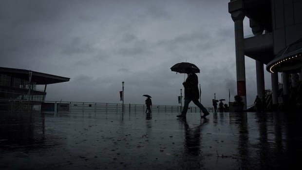
Environment Canada says a strong frontal system will bring up to 50 millimetres of rain to B.C.’s most populous city starting Monday night, while snowfall is forecast for the North Shore mountains.
The federal agency originally issued a special weather statement Monday morning for Vancouver, as well as Burnaby, New Westminster, Coquitlam and Maple Ridge, but later upgraded that to a rainfall warning.
It says light to moderate rain in those areas will begin late Monday night, with rain intensifying Tuesday morning.
“Rainfall amounts near the [North Shore] mountains will likely range from 50 to 60 mm while central regions of Vancouver can expect up to 50 mm,” said the warning.
WATCH | Coastal flooding statement was previously issued over weekend: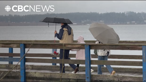
Environment Canada warns of possible flooding for B.C.’s South Coast
A coastal flooding alert is in place this weekend for B.C.’s South Coast, including Metro Vancouver and parts of southern Vancouver Island. Environment Canada is warning of strong winds and high tides. And as Sohrab Sandhu reports, the stormy weather is also creating potentially dangerous conditions on Vancouver’s North Shore mountains.
The warning also said higher elevations, including the North Shore mountains, Burnaby Mountain and near the Upper Levels Highway, could see snow accumulation.
“Snowfall over the recreational zones of the North Shore mountains is expected to be significant,” said the warning. “Be prepared for winter driving conditions.”
The weather warning comes a day after the federal agency lifted a separate advisory warning that flooding was possible from stormy weather and high tides along part of the province’s South Coast.
Ken Dosanjh, a meteorologist with Environment and Climate Change Canada, said that southwest B.C. had seen its fair share of storm systems coming from the south and bringing warmer air with them.
But he said that the rain coming for the South Coast overnight on Monday was coming from the Gulf of Alaska, which means freezing levels could drop as a result.
WATCH | What a ‘chance of showers’ means: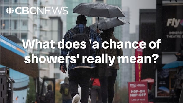
What does ‘a chance of showers’ really mean?
CBC Toronto’s meteorologist Colette Kennedy breaks down the concept of probability of precipitation and how it’s calculated to determine rainfall.
“For areas [with] higher terrain, those areas can expect those snow levels to creep a little bit closer to around 300 to 500 metres,” he said.
“And so it’s these areas, you know, higher up along the North Shore, potentially Burnaby Mountain, those are the areas that can expect some sort of snowfall accumulation, typically in the form of wet snow.”
Dosanjh noted, however, that the exact snowfall amounts were uncertain.
Snowfall warning for Sea-to-Sky and Whistler
Environment Canada also issued snowfall warnings for the Sea-to-Sky corridor including Squamish and Whistler on Monday.
Depending on the area, between 10 and 20 centimetres of snow is expected by late Tuesday afternoon.
As of Monday afternoon, Avalanche Canada rated the danger of an avalanche in the Sea-to-Sky region and the western sections of the North Shore mountains as moderate.
WATCH | How to manage avalanche risk: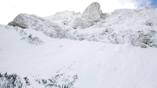
How to manage avalanche risks in the Rockies
Safety is top of mind this holiday season with winter outdoor activities ramping up in the Rocky Mountains. Recent snow dumps in the backcountry have avalanche experts urging those heading into the mountains to plan first.
However, the avalanche danger was rated as “considerable”, or the third tier in Avalanche Canada’s five-tier danger scale, for the alpine section of the Tri-Cities and Burnaby Mountain areas.
Jesse Percival, a public avalanche forecaster with Avalanche Canada, said there would be upwards of 100 centimetres of new snow and strong southwest winds coming to the South Coast mountains due to the incoming weather system.
“This is going to drive our avalanche hazard in the alpine and tree line up to ‘high,'” he said Monday afternoon.
“When the avalanche danger rating is high, we don’t recommend travel in avalanche terrain,” he added. “That doesn’t mean you can’t access the backcountry. It’s just that you want to seek out terrain that’s not affected by avalanches.”