
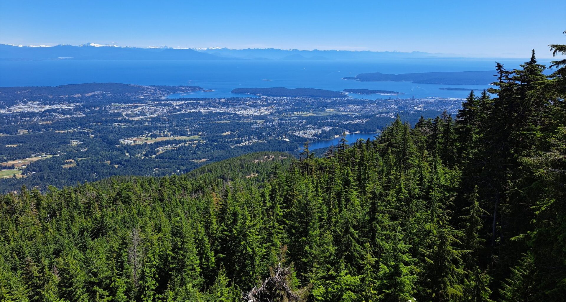
The City of Nanaimo has been awarded $105,000 for its Sea Level Rise Management plan that looks to assess Nanaimo coastlines that are vulnerable to rising sea levels, and develop ways to mitigate the impacts over the coming years.
The city’s Sea Level Rise Management Plan is one of several municipal projects receiving funds through Environment and Climate Change Canada and the Federation of Canadian Municipalities (FCM) Climate-Ready Plans and Processes grant.
This week, the federal government announced the grant recipients across Canada which includes a total of $7.1 million distributed across 80 different projects.
The funds were distributed as a means to help local governments prepare for and develop climate adaptation plans.
The City of Nanaimo applied for $105,000 back in June 2024, when the call for applications was first announced.
According to the city, developing a Sea Level Rise Management Plan is part of the city’s Integrated Action Plan and deemed a “priority action.”
Why the Sea Level Rise Management Plan is deemed a priority action for Nanaimo
Nanaimo first had a Sea Level Rise Study done in 2019 which included projections for 2050 and 2100, as well as assessment of potential coastal erosion impacts.
“This study was a critical first step in understanding the vulnerability of our coastline and planning for future climate risks,” states the city.
At the end of the study, recommendations were to further look at key low-lying, populated areas including Departure Bay, Protection Island, and downtown areas, to “more accurately define inundation limits and potential flooding.”
In December 2024, city environmental planner, David Stewart, a presented the Sea Level Rise Management Plan (SLRMP) to the city and recommended a study of Nanaimo’s entire coastline.
The Sea Level Rise Management Plan (SLRMP) aims to “expand the City’s understanding of sea level rise and storm surge impacts within the vulnerable areas identified in the 2019 study, but it will also help the City identify and evaluate plausible solutions,” states the 2024 report.
Six key elements are outlined in the SLRMP:
First, it focuses on calculating the probability of sea level rise while factoring in storm surge, wind speed, king tides, and others.
“This could be used to redefine the flood control elevation,” states the report.
The second is element includes 2D modeling in vulnerable areas where “wave runup and the impact of multiple tide cycles” exist.
The third looks to estimate the economic impact of “rising sea levels to coastal infrastructure and properties.”
The fourth looks to engage multi-disciplinary partners to consider and identify a sea level rise management plan.
The fifth element will undertake monitoring of coastal erosion including “a detailed survey of the areas prone to coastal erosion (i.e., North Slope), which requires subsequent surveying, combined with orthophoto imagery analysis where appropriate.”
Finally, the six key element to the plan includes developing a post-study communication strategy. This would be used to communicate the “findings from the sea level rise management plan to property owners, other stakeholders, and the general public.”
What’s been done so far and what’s next
Earlier this fall, work began to complete a background research review as well as a plan for engaging partners on the forward-looking steps.
Over the coming months, work is expected to continue including modelling, floodplain mapping, economic risk analysis followed by a report on the first phase, which is expected by summer 2026.
Focus group meetings are tentatively planned over the next month. For more information on the project, visit Nanaimo’s Sea Level Rise Management plan.
READ ALSO: