
Published on Jan. 22, 2026, 1:43 AM
Updated on Jan. 22, 2026, 2:05 AM
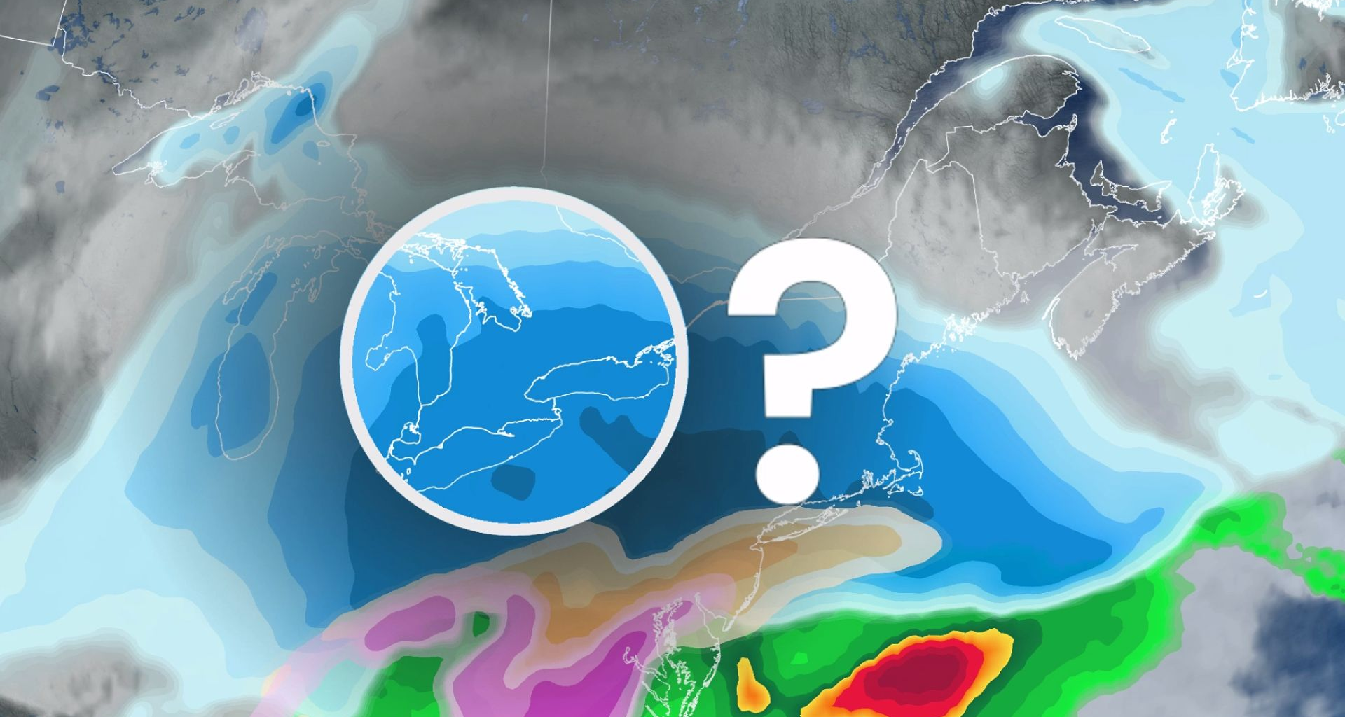
We’re keeping a close eye on a major winter storm that is set to develop south of the border, with models pointing to it clipping parts of southern Ontario with heavy snow on Sunday.
A destructive U.S. storm set to impact millions of Americans this weekend could potentially swipe southern Ontario on Sunday with significant snow.
Since the storm hasn’t developed, yet, the exact storm track and snow totals are still highly uncertain. However, depending on the ultimate track, areas near and south of the Highway 401 corridor could see 10-20+cm.
DON’T MISS: Extreme cold targets Canada as the polar vortex buckles
And, to potentially make it more impactful, exceptionally cold air aloft with an easterly flow off Lake Ontario into the Greater Toronto Area (GTA) could enhance snowfall totals from lake-effect–possible leading to localized storm totals of 30+cm.
Before the storm arrives, by the end of the week, extreme cold is expected to settle in, with temperatures dropping into the -20s and potentially lower when factoring in wind chill.
Here’s what we know about the storm so far.
Sunday alert: Major U.S. storm to watch
A major winter storm that is set to impact the U.S. Deep South will track up the East Coast through the weekend, bringing the potential for the northern extent of the low to scrape snow across southern Ontario on Sunday.