
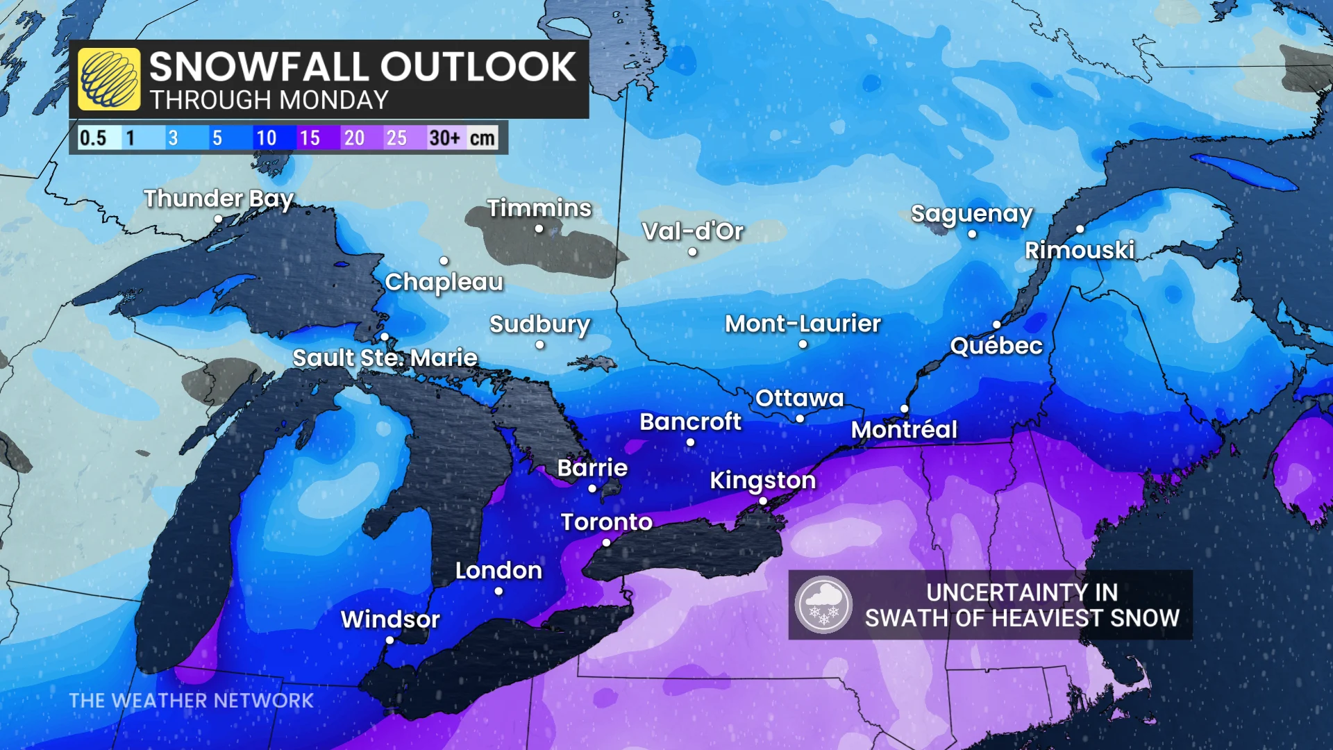
Snowfall could begin as early as Saturday night and continue through the day Sunday, potentially persisting into Monday morning.
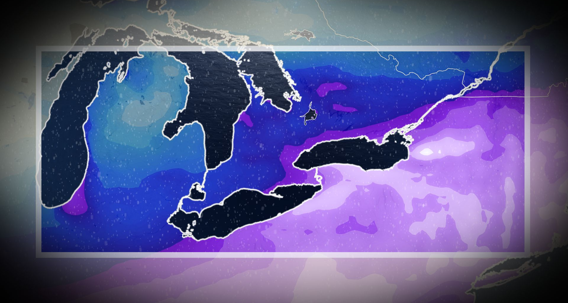
We could see lake-enhanced snowsqualls develop off Lake Ontario overnight Saturday into Sunday morning before the main storm arrives.
Depending on how the winds align over Lake Ontario, these snowsqualls could target Toronto and surrounding areas for several hours before the main event.
RELATED: The Great Lakes’ winter superpower is fading, polar vortex punches through
A swath of 10-20+ cm of snow isn’t out of the question for many areas that just received 20-40 cm of snow about a week ago.
Any snow that falls during this system will stick around with temperatures solidly below the freezing mark through the end of the month.
Stay with The Weather Network for all the latest on conditions across Ontario.
WATCH: Massive winter storm threatens millions across Canada, U.S.