
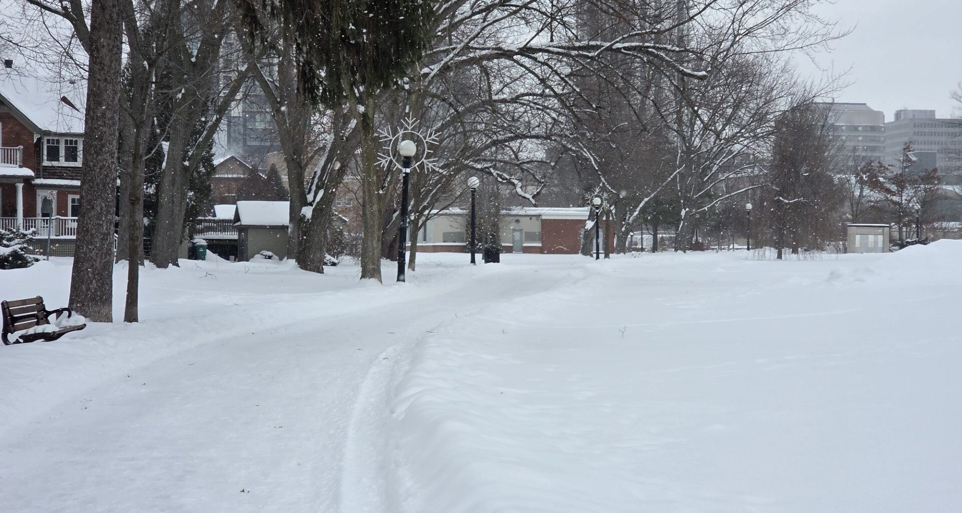
We’re less than a week before February, but it doesn’t look like the cold temperatures or snow is going to be easing up any time soon.
Environment Canada meteorologist Geoff Coulson said the cold weather will be the main story of the upcoming month.
“Even as we head into February, some of the long range forecast models indicating for the month of February is for colder than normal conditions right across Southwestern and South Central Ontario,” said Coulson.
For the rest of this week, the day time highs are expected to be in the -10 to -12 degree area, surpassing the long term average of minus three degrees.
Snow totals in Waterloo Region have already eclipsed long term averages. Looking ahead into February, Coulson said we can expect some lake effect from Lake Huron that could impact the Region.
“As well, larger scale storm systems are still a possibility, similar to the one that gave the snow on Sunday to much of the area,” said Coulson.
“So, unfortunately, for those who may not be fans of winter, we looks like we have a fair amount of winter left to go.”