
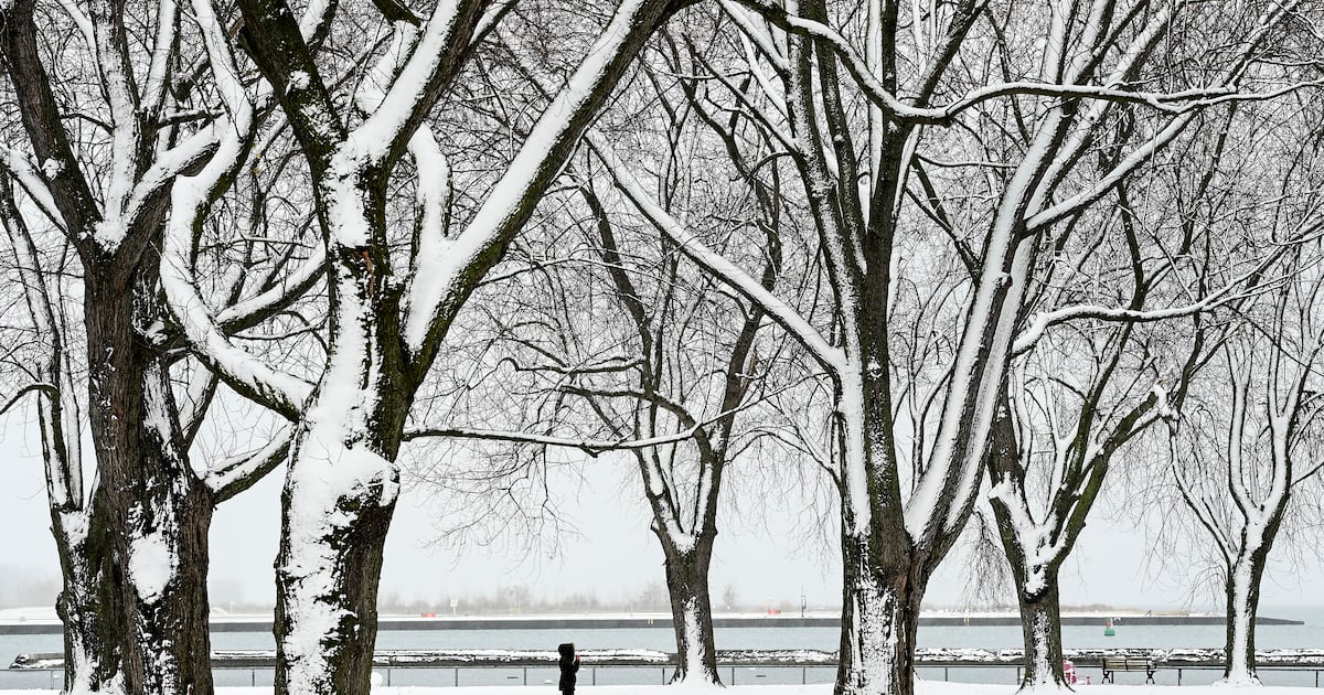
Some of the coldest temperatures of the year are expected to hit the GTA on Friday with the wind chill feeling like -30 in Toronto this morning.
For the first time this winter season, Environment Canada recorded a wind chill of -30 at 5 a.m. at Toronto Pearson International Airport.
“Bundle up. At these wind chills, frostbite can develop within minutes on exposed skin,” CP24 Meteorologist Bill Coulter said on Friday.
An extreme cold warning, yellow alert is in effect for this city today, prompting the City of Toronto to activate all of its available warming centres.
The national weather agency is calling for a high of -13 C today, about 11 degrees colder than the average high for this time of year. It is expected to feel like -21 this afternoon and -27 overnight.
Saturday’s forecast will bring more bitterly cold weather.
A high of -11 C is expected but the temperature will feel like -27 in the morning and -19 in the afternoon.
More seasonable temperatures return on Sunday and Monday, which will see daytime highs of -6 C and -5 C on each day respectively.