
Snow still a possibility for Victoria despite record-breaking temperatures
Published 12:15 pm Friday, February 6, 2026
Meteorologists and marmots agree, winter may not be over, despite record-breaking warm days to start February in Victoria and across Vancouver Island.
Shirtsleeves were on display in Victoria, among the communities that broke one-day temperature records Feb. 5.
Victoria International Airport in North Saanich hit a new record of 13.9 C over the old record of 12.6 set in 1987; and Victoria’s Gonzales area eked out a new record at 13.4 C over the 13.3 set in 1963.
Elsewhere on the Island, Campbell River hit 14.7 breaking the 2015 record of 12.2; North Cowichan set a new high at 14.1 over the 1934 record of 13.3; Nanaimo hit 13 flat ahead of the one-day record of 12.4 set in 2015. The day before, Feb. 4, Port Hardy posted a new daily record of 13.8 C over the 1992 record of 12.4 and Qualicum set a high of 14.5 over the 13.6 set in 2011.
READ ALSO: Emergency program lead offers tips as winter storm season descends on Greater Victoria
Exercise Roguish Buoy: Explosive military training hits Vancouver Island
The warm days were reminiscent of a mid-January influx where a ridge of high pressure sat off the coast of California, then pushed and anchored itself off the southern half of B.C., said Ken Dosanjh, meteorologist with Environment and Climate Change Canada
It meant little to no rain, then with temperatures well above normal. The difference now is the impending rain as the weather system breaks.
The Island’s version of a groundhog seemed on track when she saw her shadow Feb. 2. Vancouver Island marmot Violet predicted six more weeks of winter – a stance the marmot has held for the last several years, last anticipating an early spring in 2021. Violet has made 10 predictions since 2017 and seven of those said more winter.
That’s in line with what could come next week, Dosanjh said.
VIDEO: Victoria captains weave personal tales, history into waterway tours
Joe and Amy and dementia: Victoria couple faces daily loss with new friends
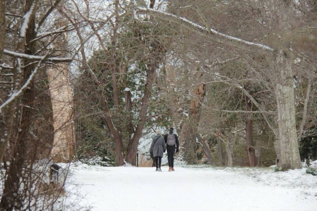
“We’re really starting to look at temperatures returning to normal,” he said, with freezing levels also returning to normal, with more snow anticipated in the alpine regions. “We’re definitely not over the threat for snow (in Victoria.)”
Vancouver Island has been experiencing higher than usual snow levels, which come down for mid to late February.
There are signals for a potential high pressure system over Yukon and B.C., the meteorologist said. By Family Day long weekend, and Valentine’s Day, there’s a cooler than normal signal.
The warmer days don’t mean snow isn’t on the radar for Victoria. With only snow on the Malahat to date this winter, late February flakes aren’t unusual for the region.
The last few years haven’t been hot for flakes in Victoria—the most active was the winter of 2022/23 when 47.1 cm of snow fell in December 2022, an unusual high. In 2014/15 there was one day in November that had trace amounts, but the last time Victoria saw no trace of snow was winter 1982/83, a year zero flakes fell in Vancouver as well.
VIDEO: Oak Bay worm farmer gathers gourds to feed her brood all winter
VIDEO: Sidney firefighters sweat out poisons after battling toxic blazes
Do you have something to add to this story, or something else we should report on?