
The 1960s were a truly transformative, groovy decade for Toronto, and helped to establish it as one of the leading modern, cutting-edge metropolises in North America.
Yorkdale Shopping Centre opened its doors to shoppers in 1964 with Eaton’s at its retail peak, New City Hall opened in 1965, and the Bloor-Danforth subway line launched a year later.
Sports fans will remember that the Maple Leafs won their last Stanley Cup in 1967, and the same year, Etobicoke, East York, North York, Scarborough, and York were officially redesignated as boroughs.
Here are 20 photos of what Toronto looked like in the 1960s.
Exhibition Place
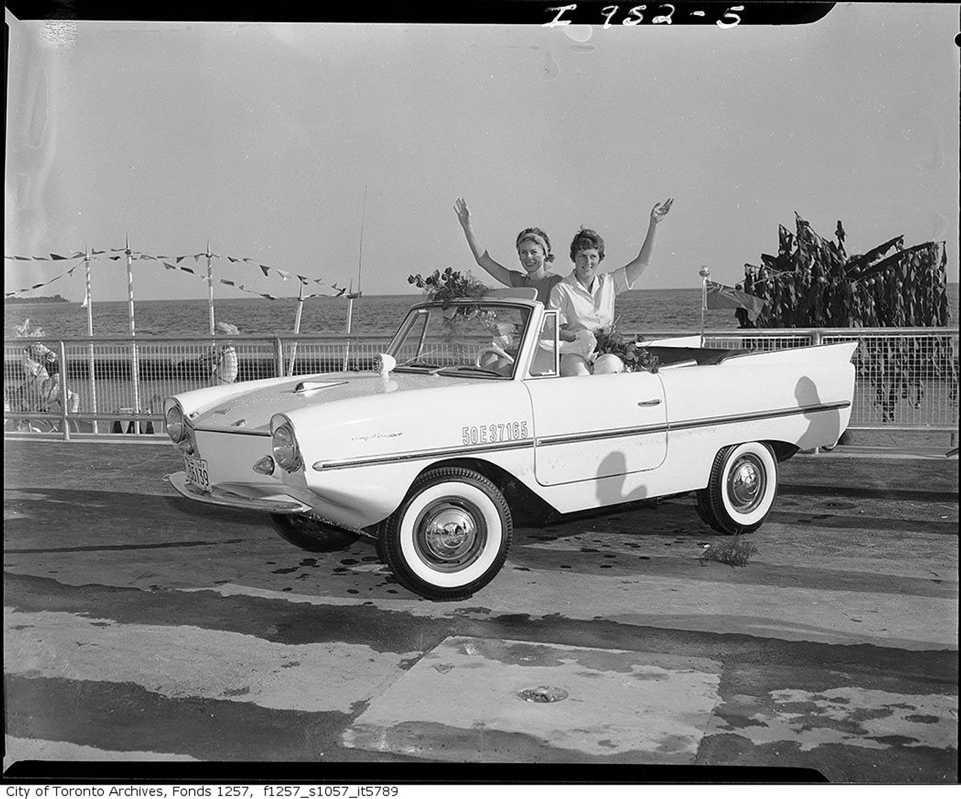
Two women in an Amphicar at the CNE in 1962.
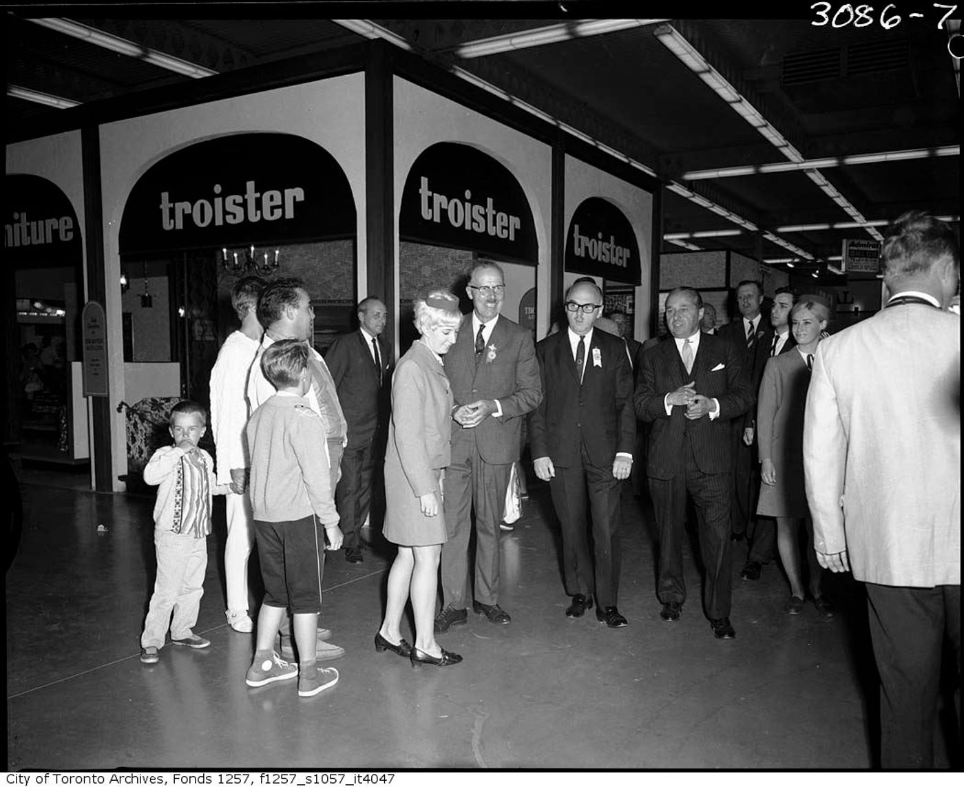 CNE officials tour the Better Living Centre in 1967.
College and McCaul
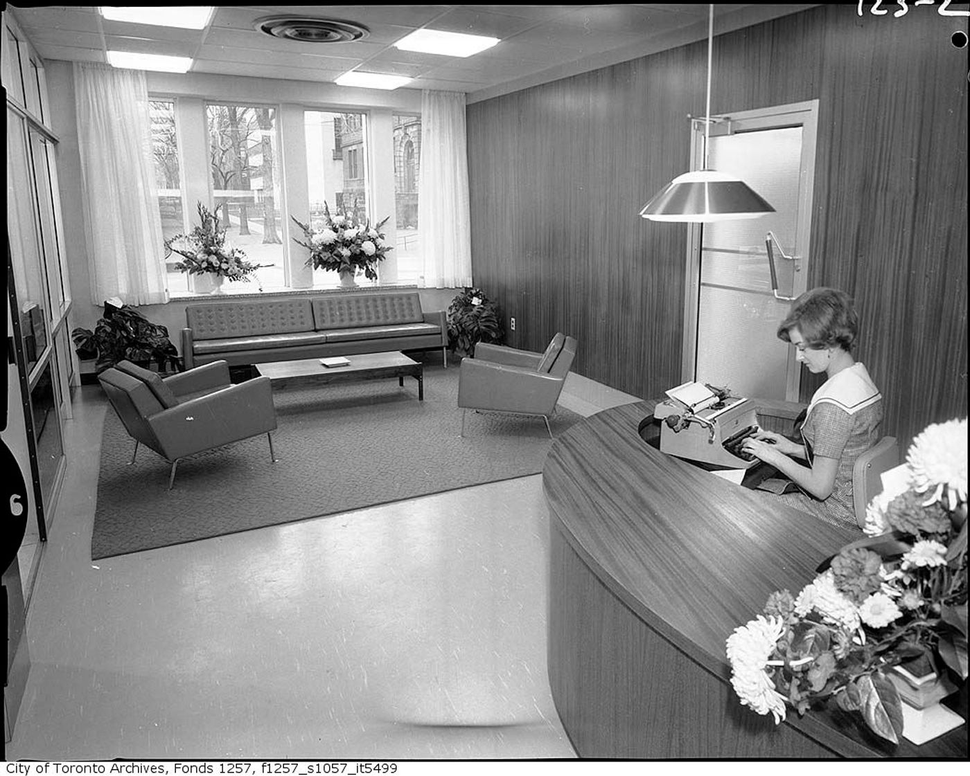
Reception area of the Canadian Institute of Pharmacy building at 175 College St. in 1965.
Davenport and Bedford
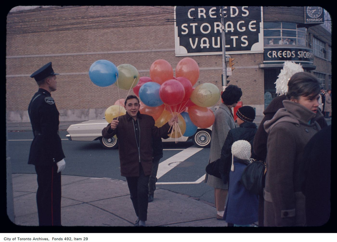
Santa Claus parade at the southeast corner on Nov. 14, 1964.
Cloverdale Mall
The open-air shopping plaza in 1961 or 1962.
Don Valley Parkway and York Mills
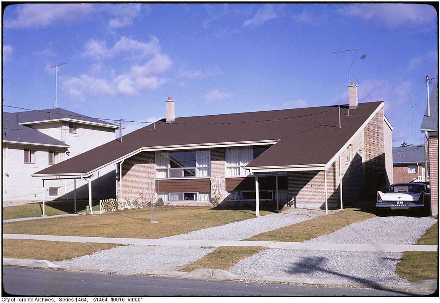
A residential home at 274 Roywood Dr. in 1961.
King and Bay
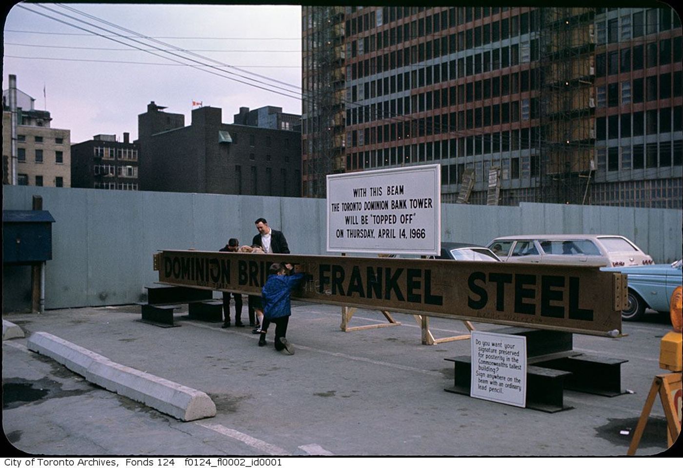
Toronto Dominion Bank tower’s last girder in March 1966.
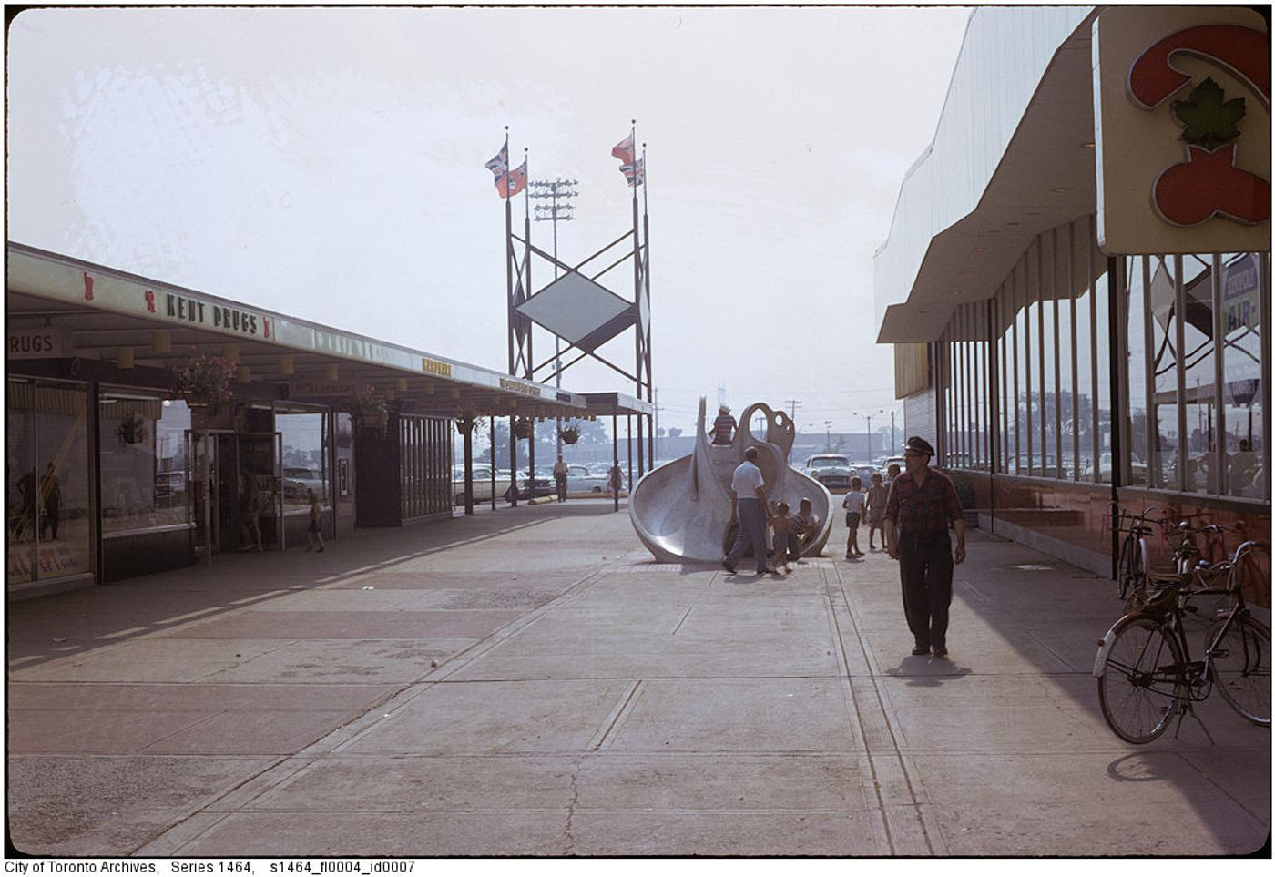
Jane and Lawrence
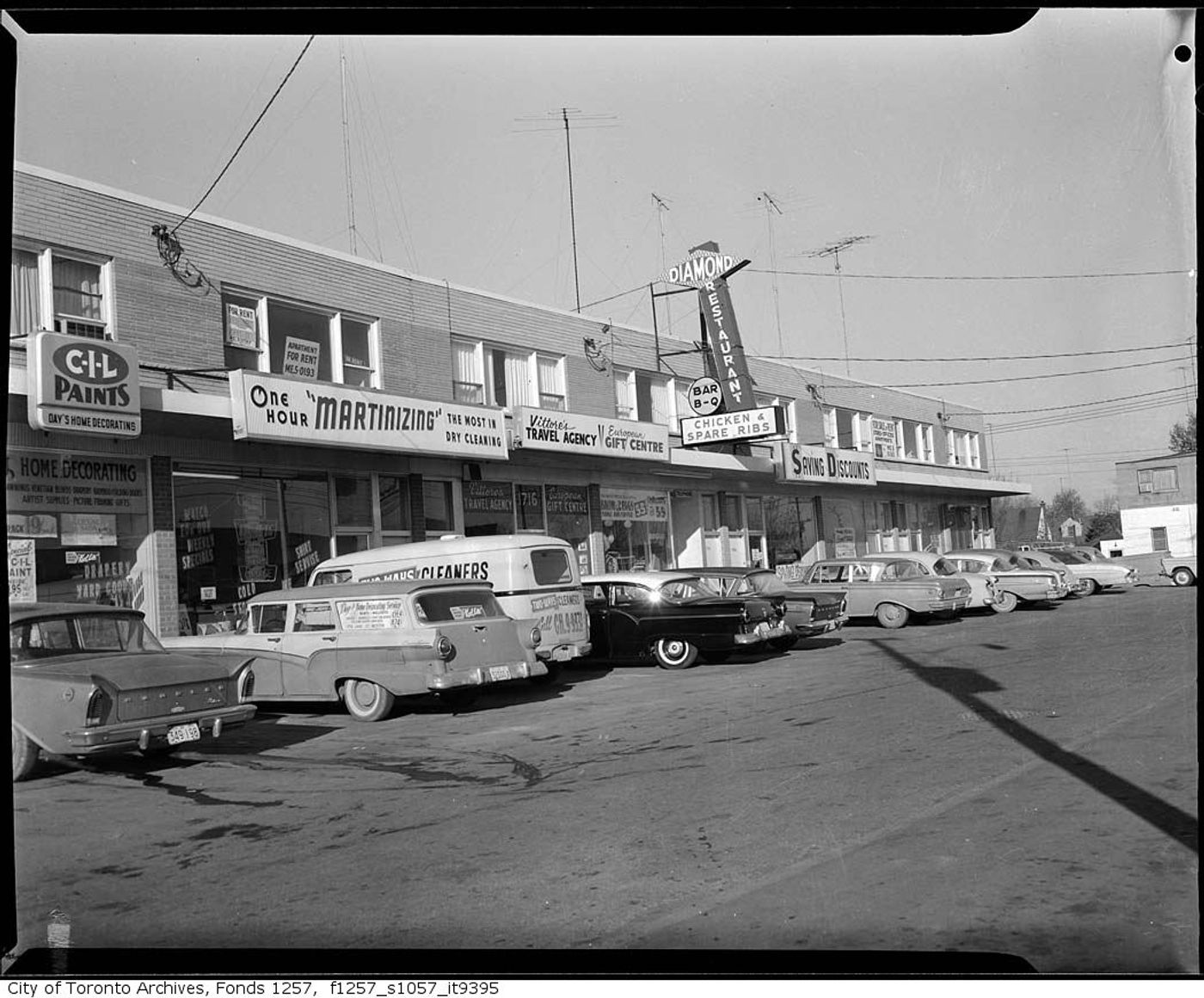
Plaza on Jane Street north of Lawrence Avenue West in 1962.
Toronto Island
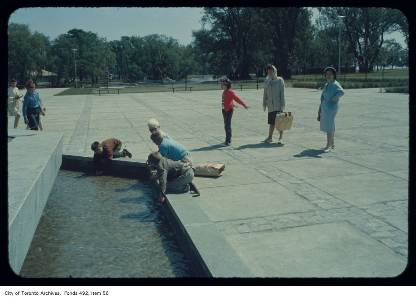
Children playing in a fountain on the Toronto Island in 1961.
Bay and Harbour
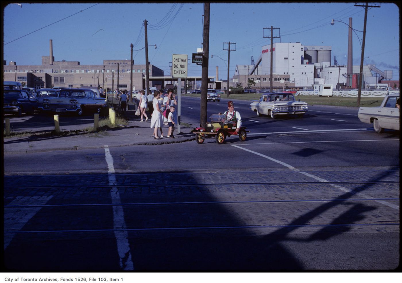
A Shriner driving a mini car at Bay and Harbour Streets on July 1, 1962.
Yonge and King
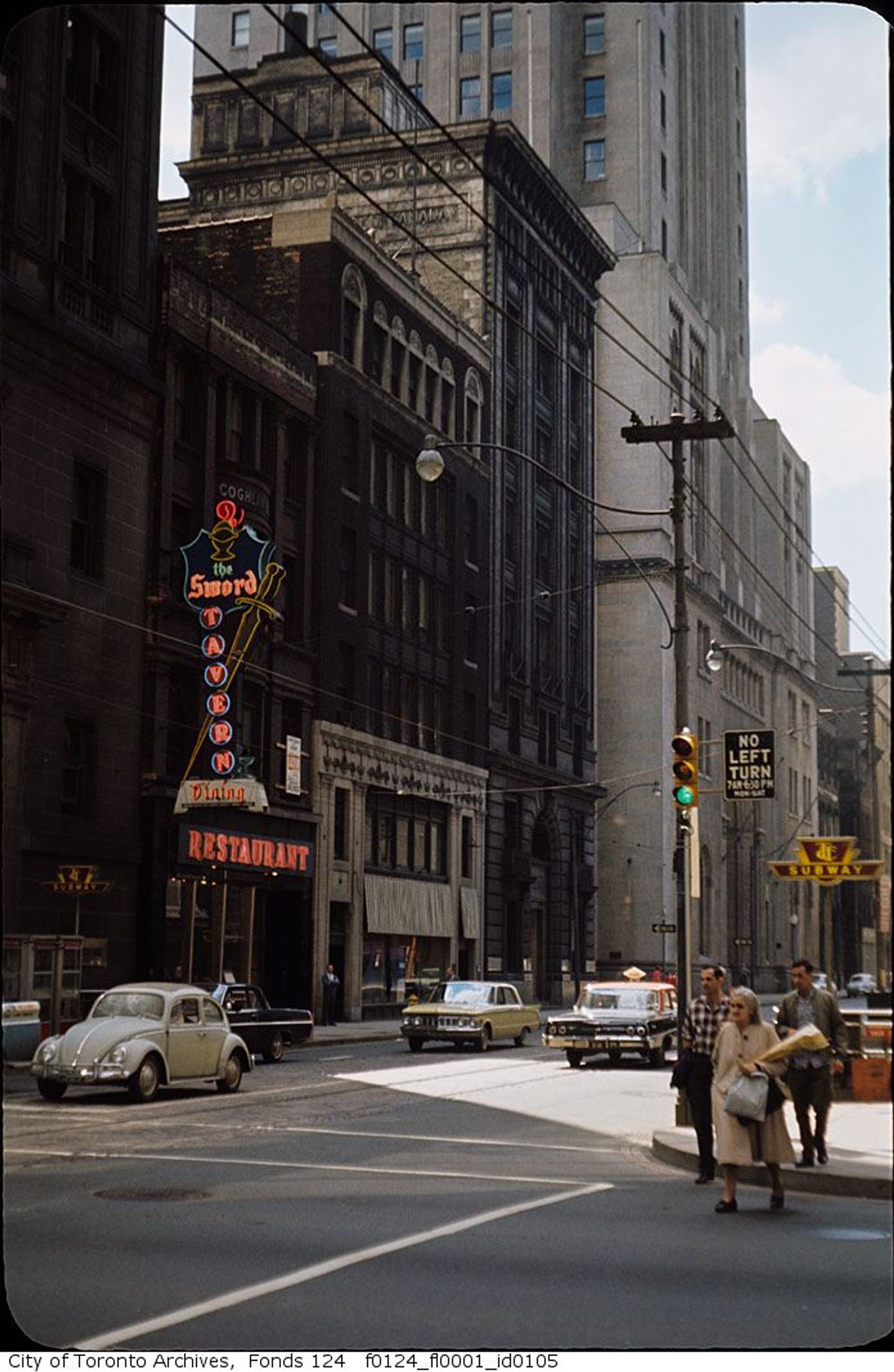
Montreal Trust Building in August 1963.
Queen and Bay
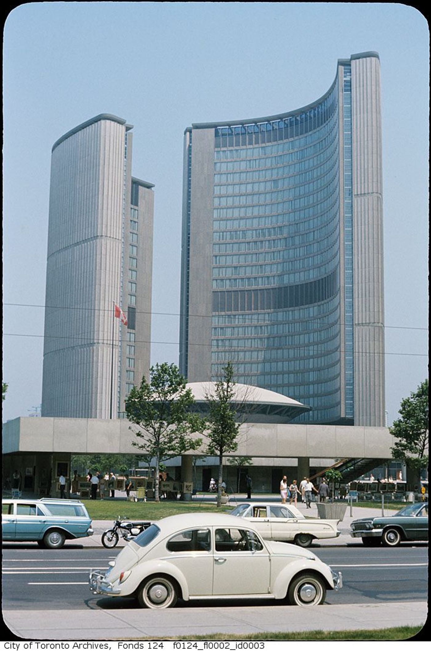
New City Hall in June 1966.
Pape and Danforth
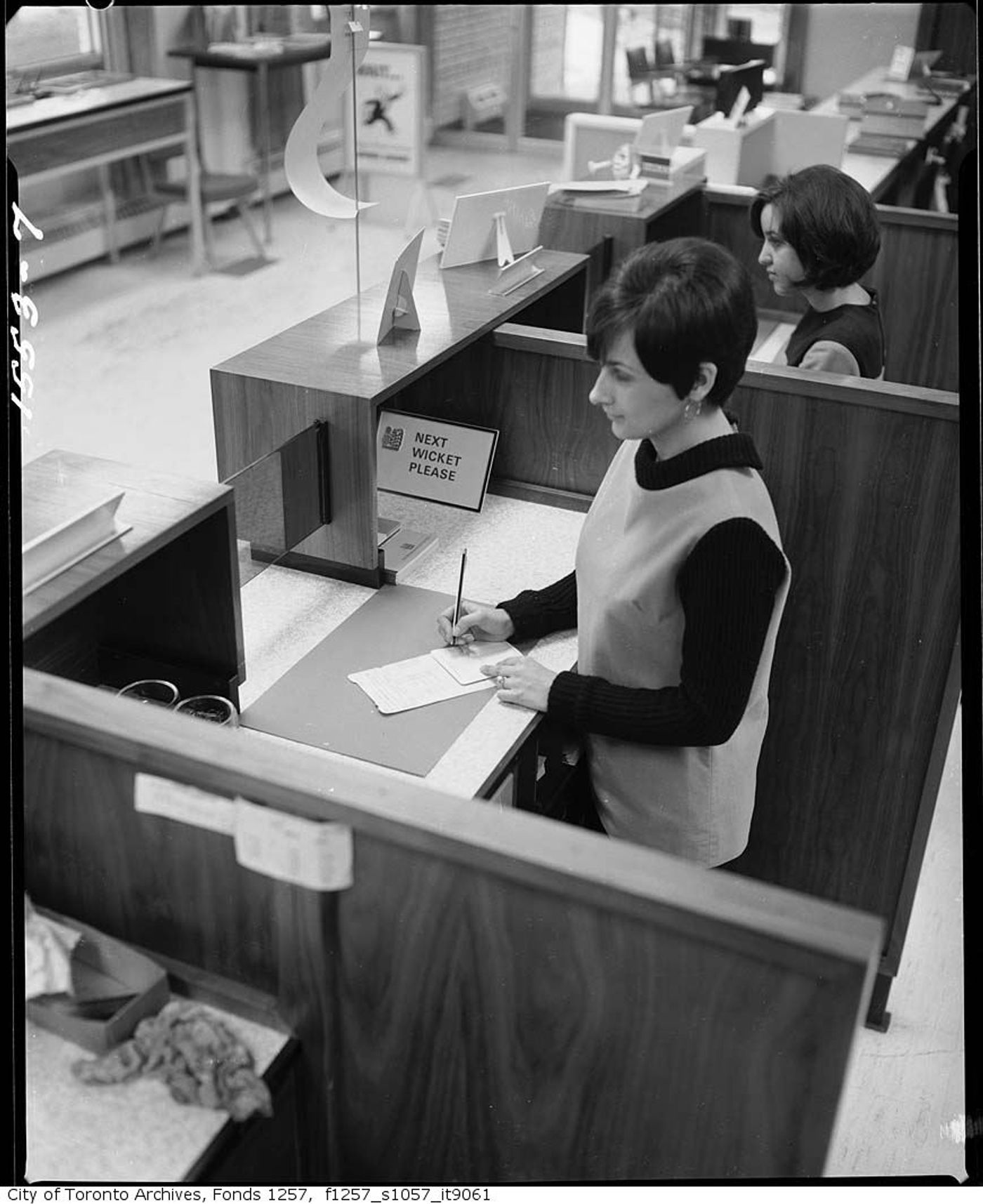
Royal Bank tellers on Jan. 9, 1969.
Yorkdale Shopping Centre
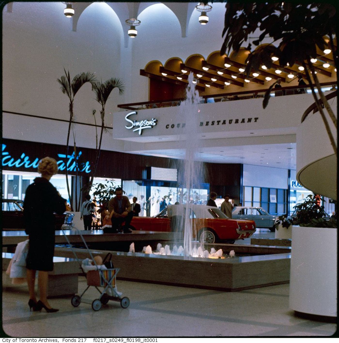
Interior of the mall, showing the Simpson’s entrance and Fairweather in 1965.
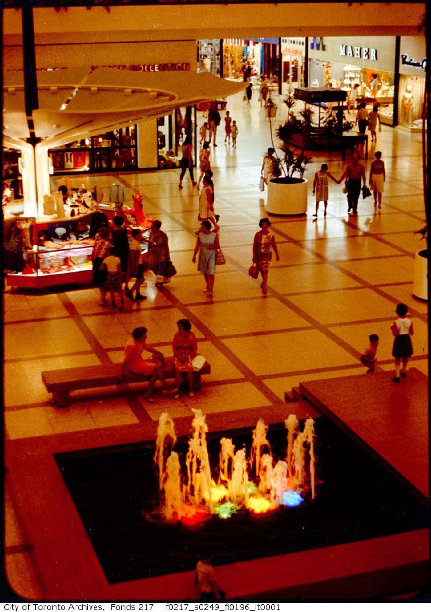
Interior of the mall in 1965.
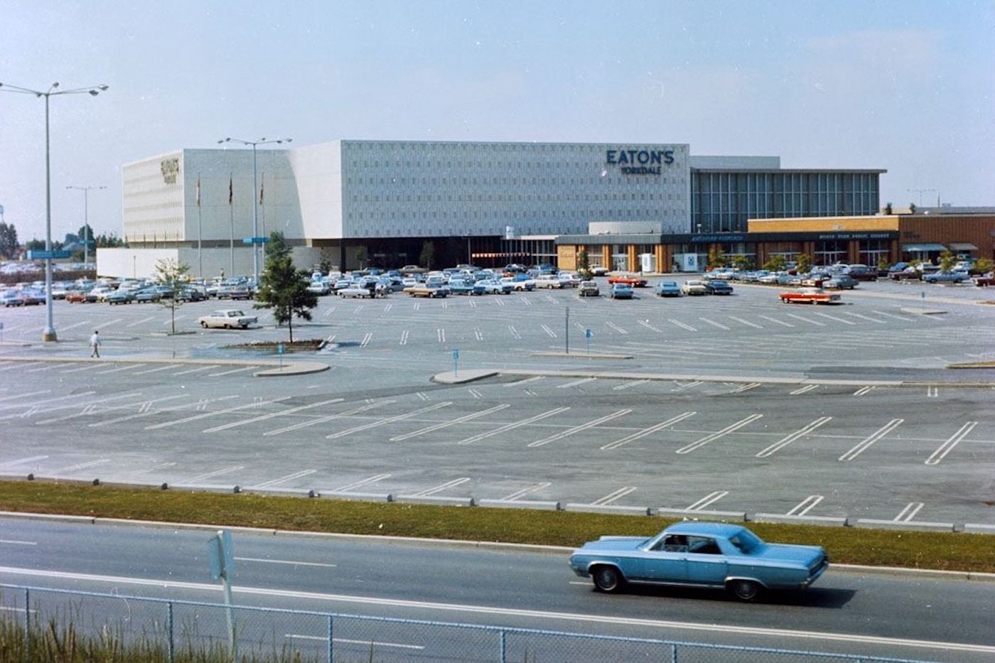 The exterior of the mall in the 1960s.
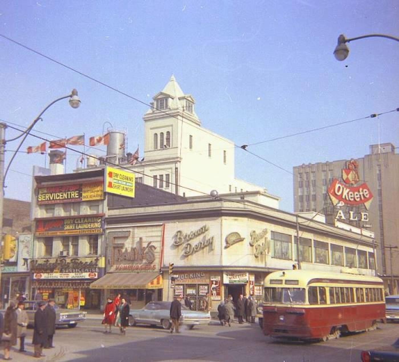
Yonge and Dundas
Near the intersection in 1964.
 1965.
1965.
Yonge and Gloucester
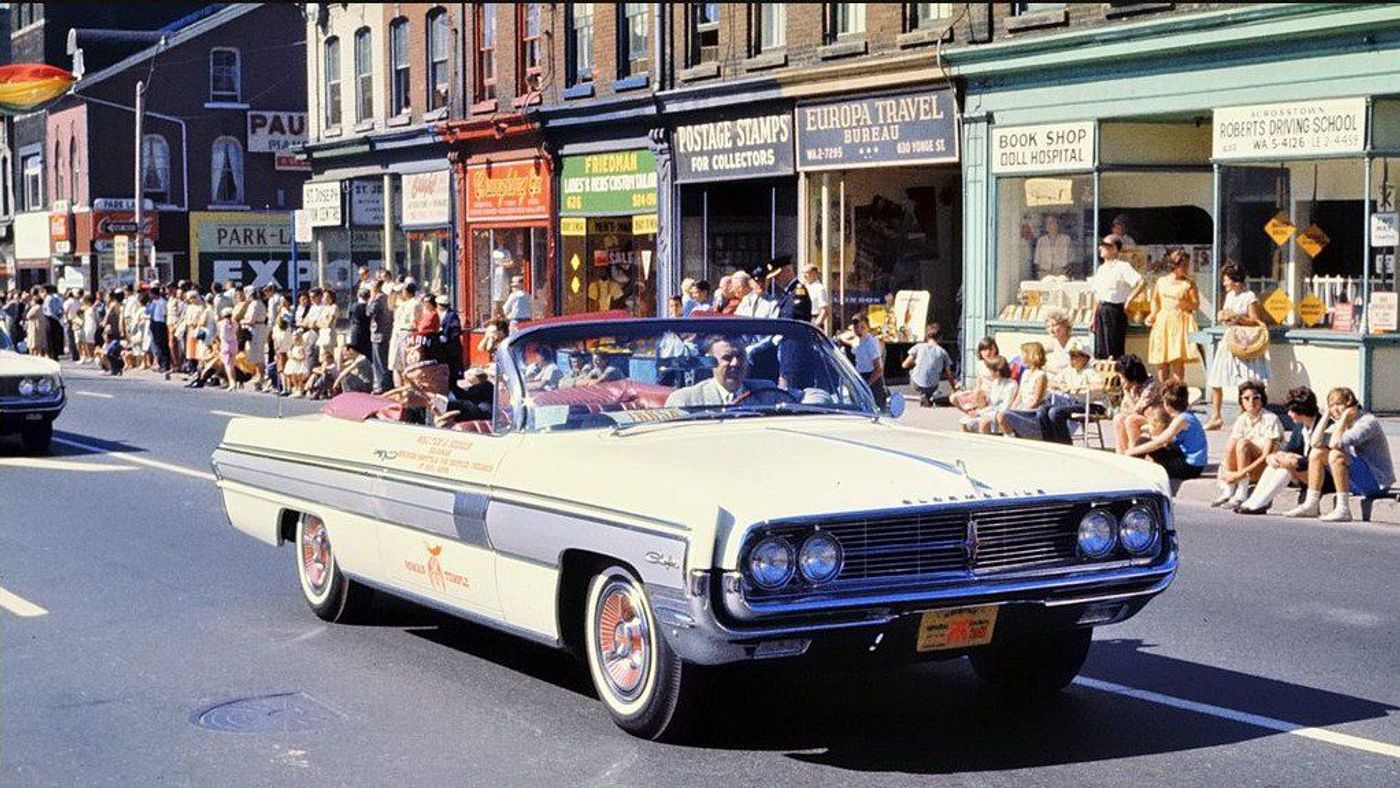
The 1962 Shriners’ Parade.
Yonge and Gerrard
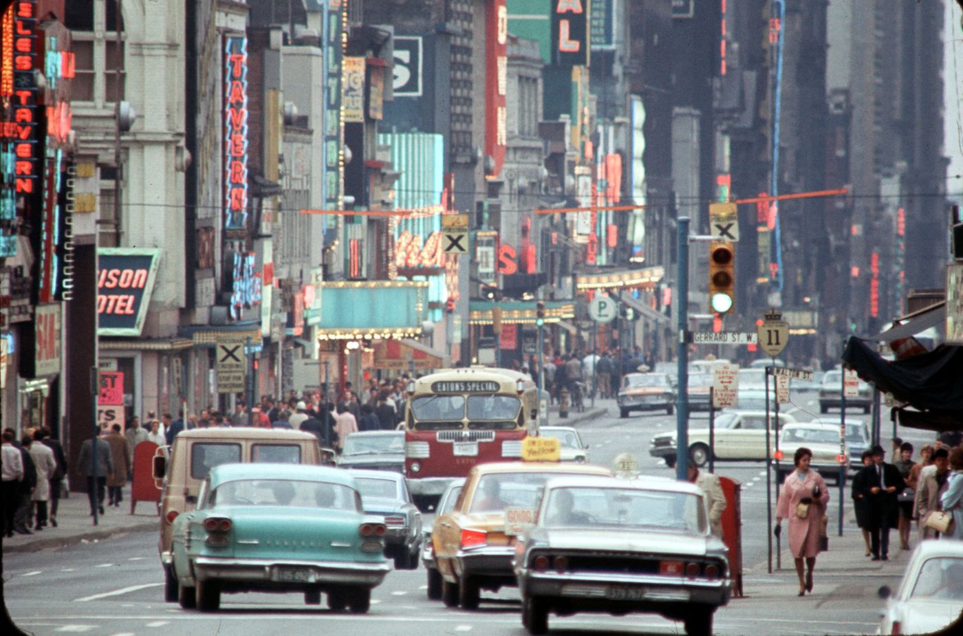
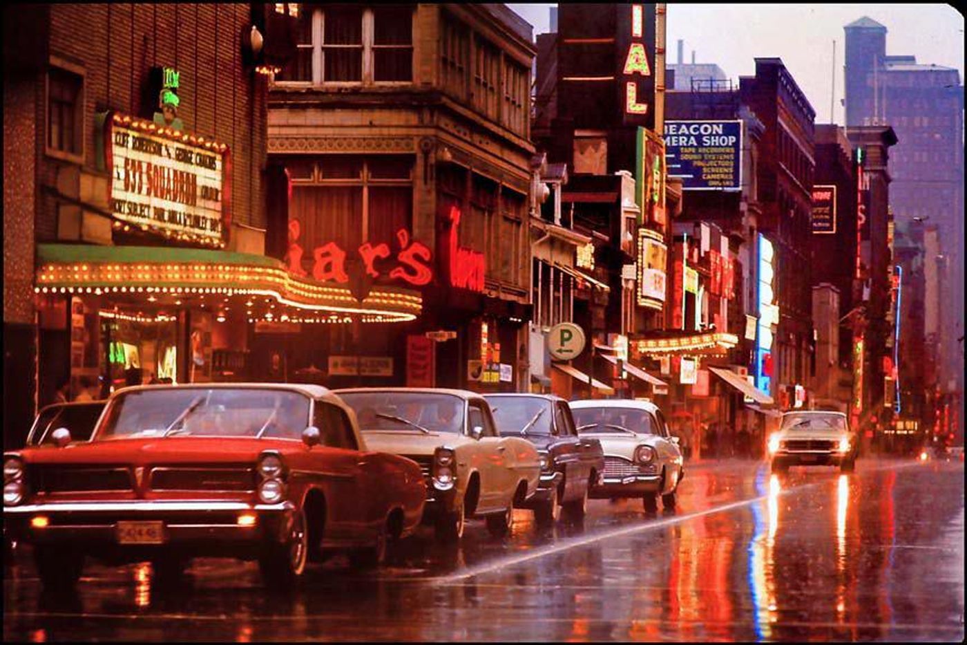
Looking south in the 1960s.
What intersection of the city do you think has transformed the most since this groovy decade?