

A messy mix of winter weather is expected to move into the region midweek, bringing the potential for icy conditions, reduced visibility and travel delays.
A low-pressure system is forecast to bring snow, ice pellets and freezing rain beginning Wednesday morning and continuing through to the evening, according to Environment and Climate Change Canada.
What to expect
Forecasters say several hours of freezing rain or ice pellets are possible, with ice build-up of several millimetres in some areas. Snowfall amounts could reach near 5 cm, though totals remain uncertain.
Confidence in exact amounts is lower than normal at this stage. It’s possible precipitation may mix with ice pellets for several hours, which would reduce overall snowfall and freezing rain totals.
Areas impacted


The system is expected to affect Toronto, Mississauga, Brampton, Burlington, Oakville and Milton, along with surrounding parts of the GTA and Halton Region.
Weather advisories or warnings may be issued as the system approaches and confidence in the track and intensity increases.
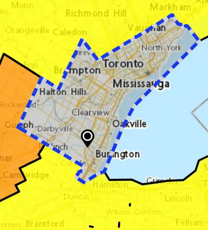
Map: Environment and Climate Change Canada
Travel impacts
Roads, highways, sidewalks and parking lots may become icy and slippery, particularly during the morning and evening commute. Visibility could also be suddenly reduced during heavier snowfall.
Motorists should allow extra travel time, increase following distances and be prepared for rapidly changing road conditions. Some travel delays are possible throughout the day.
Localized utility outages cannot be ruled out if ice accumulation becomes significant.
INsauga’s Editorial Standards and Policies
Last 30 Days: 66,695 Votes
All Time: 1,228,468 Votes
2407 VOTES
Should bike lanes stay or be removed?
WIN A $100 GIFT CARD
Subscribe to INsauga’s daily email newsletter for a chance to win a $100 Amazon gift card.