
CP24’s meteorologist Bill Coulter provides an update on weather conditions in Toronto and parts of the GTA.
A major winter storm system that is set to arrive in Toronto early Wednesday morning will likely cause treacherous conditions on GTA roadways, CP24 Meteorologist Bill Coulter says.
“We are on the approach to a major storm system that is going to arrive tomorrow morning at around 3 a.m. and last until just after the dinner hour,” Coulter said Tuesday.
“(It will be) high impact with snow and freezing rain and plenty of it coming in overnight tonight.”
Environment Canada has issued a winter storm watch, yellow alert, for some GTA regions, including parts of York Region, Halton, and Durham. Some areas could see upwards of 15 centimetres of snowfall on Wednesday, the national weather agency said.
Toronto is currently under a special weather statement, with up to five centimetres of snow expected over the course of the system.
“There remains some uncertainty with the track of this system as such, snowfall amounts and areas affected could change,” Environment Canada noted in its advisory.
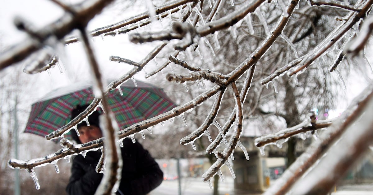
In addition to the snow, Coulter said five millimetres of ice accretion is also expected.
“It doesn’t sound like a lot but it is and that ice accretion is especially dangerous on untreated secondary roads and can weigh heavy of tree limbs and tree branches and cause some power outages as well,” he said.
Coulter noted that anyone with travel plans on Wednesday should “pay attention and adjust accordingly.”
“Maybe take advantage of today’s relative calm and mild conditions,” he added.
Another system is expected to bring more active weather to Toronto on Friday and into the weekend, Coulter said.
With files from CTV News Toronto’s Alex Arsenych