
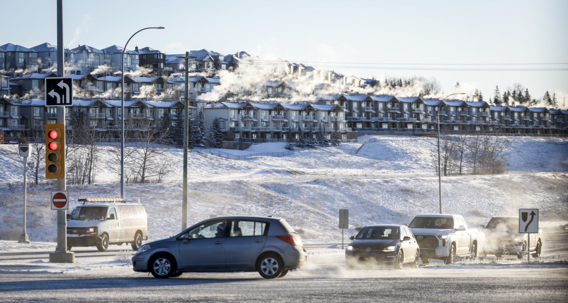
Winter is back in Calgary after a mild couple of weeks — with more snow on the way — as a storm warning hits the city on Tuesday.
Environment Canada says hazardous conditions are expected, with snow intensifying early Tuesday with 15-25 centimetres of snow — local amounts reaching 30 cm.
Meteorologists say the snow will taper off late Tuesday.
In the meantime, winds gusting up to 70 kilometres per hour are accompanying the snowfall, which meteorologists say will cause poor visibility.
“Prepare for quickly changing and deteriorating travel conditions. Consider postponing non-essential travel and outdoor activities until conditions improve. Take frequent breaks and avoid strain when clearing snow,” the warning reads.
Road crews with the City of Calgary prepared equipment and materials on Monday ahead of launching its snow priority plan. This includes applying anti-icing to intersections, bridges, and hills.
The city says crews will then plow through lanes and apply materials as needed before the snow starts falling, then it activates the priority plan, starting with major roadways within 0-18 hours after snowfall. Sidewalks, LRT platforms, and other priority pathways are cleared within 24 hours.
When it comes to Calgary Transit, snow detours are in effect for all bus routes Tuesday morning, which is intended to “reduce risks of stuck buses and slowdowns for customers and commuters.”
Calgary Transit school bus routes are remaining in place.
Meanwhile, Environment Canada’s forecasts say temperatures will drop considerably, reaching -17 C in the afternoon while the windchill dips to -30 C. Wednesday’s high is -21 C with a windchill of nearly -33 C.
Thursday is expected to see a high of -16 C, Friday -7 C, Saturday -9 C, and Sunday down to -15 C.
The blast of winter is also affecting other parts of Alberta, with up to 25 centimetres of snow across much of the province.