
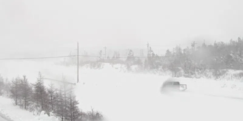
(NL511 Paddy Pond Camera 7 a.m. Feb 18th)
Here we go again. Already bruised and battered by a rough winter, parts of the island are in for another blast.
The Avalon Peninsula is in the for about another 10-20cm tonight and through tomorrow with winds picking up overnight and Sunday morning. Metro and the Southern Shore will receive the higher amounts while the western Avalon and Trinity-Conception will be on the lower end of the scale.
The Baie Verte-Green Bay area and parts of the Northern Peninsula are in for a pounding with anywhere between 20 and 30 cm on the way.
The west coast, southwest coast, Gander, Grand Falls-Windsor areas and south coast escape the brunt of it.
There’s also a coastal flooding statement from Environment Canada. Northern and northeastern facing coastlines from Colliers in Conception Bay to Renews-Cappahayden on the Southern Shore will experience higher-than-normal water levels with waves 5-7 metres breaking upon approach to shore. The most vulnerable time will be 10:00 tomorrow morning until noon during high tide.