
There are 22 days till spring, but the The Weather Network is getting a head start with its forecast for the season to come, calling it “the scenic route from winter to summer.”
It also calls it a wild card, because mixing metaphors is fine if you’re talking about mixed precipitation.
The predictions suggest cold temperatures will dominate through March and into April, though “very warm weather over the eastern U.S. will surge north at times and bring tastes of pleasant spring weather.” Above-normal precipitation might allow for an extended ski season, but there is ice and rain the mix.
Advertisement
Advertisement
Advertisement
Advertisement
The weather agency is hedging its bets on May, saying there are “strongly conflicting signals,” but Quebec could jump right from a testy spring into an early summer.
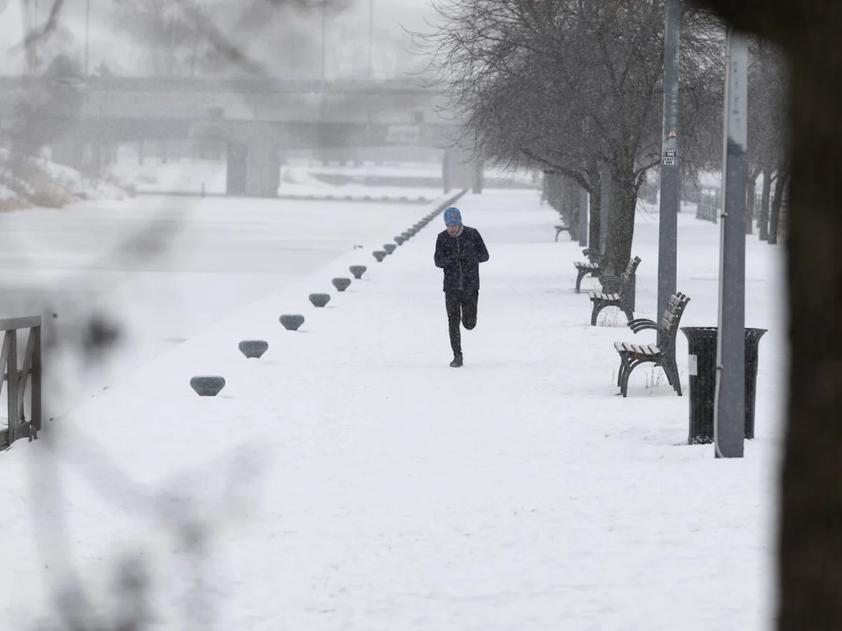
Meanwhile back in the depths of winter, Montrealers can expect flurries to end near noon Thursday, but the clouds aren’t going anywhere. There will be a high of minus-4 C with an afternoon wind chill of minus-10 C. Overnight, expect more flurries with a low of minus-11 C and a wind chill of minus-16 C. Clouds and flurries will stick around through Friday.