
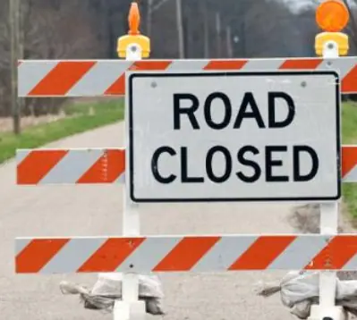
An interactive map on the City of Brampton’s website will show you all the roads that are closed.
The interactive map provides residents and visitors to the area with up-to-date information on both planned and unplanned road restrictions throughout the city.
Whether closures are due to construction work, film productions, special events or unexpected disruptions, this tool is meant to help motorists plan and find the best travel routes.
Updates are provided daily from Monday to Friday, and the information can be accessed at any time during the day.
Closures or lane restrictions due to vehicular accidents are not listed.
You can follow this link to find the road closure map


INsauga’s Editorial Standards and Policies
Last 30 Days: 41,342 Votes
All Time: 1,249,994 Votes
2080 VOTES
Should Ontario keep daylight saving time year-round?
WIN A $100 GIFT CARD
Subscribe to INsauga’s daily email newsletter for a chance to win a $100 Amazon gift card.