
It will be a wet start to the weekend as “several rounds of showers and isolated thunderstorms” are expected to hit Toronto and neighbouring areas starting Friday evening.
Environment Canada has issued a special weather statement for the city and the rest of the Greater Toronto Area, including Peel, Durham and Halton Regions.
“The rain combined with mild temperatures will likely melt much of the snowpack and lead to additional runoff,” Environment Canada said in its advisory, adding that ponding is possible as the ground is still frozen and does not have the ability to absorb water.
The GTA could see rainfall amounts of 15 to 25 millimetres of rain by Saturday evening.
Meanwhile, some areas in the Northern York Region are under a rainfall warning as several rounds of showers and isolated thunderstorms are expected to move this evening, Environment Canada said.
Rainfall amounts of 15 to 40 millimetres are expected.
The daytime high on Saturday is 15 C.
Sunny conditions are forecast for Sunday, with a high of 10 C.
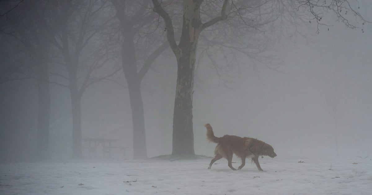
Fog advisory in effect
Meanwhile, some parts of the GTA Area could see near-zero visibility conditions as dense fog is expected to descend on the region tonight.
Environment Canada has also issued a fog advisory for Toronto, Brampton, Mississauga, Burlington, Oakville, Milton, Halton Hills, Caledon and Hamilton.
“Locally dense fog is expected to develop this evening and persist into the overnight hours,” the federal agency said in its advisory.
“Travel will likely be hazardous in some locations. Visibility will likely be suddenly reduced at times.”
The fog is expected to dissipate overnight or early Saturday morning.