
She said there are still flurries in the forecast for Metro Vancouver this week, but it’s far from a sure thing.

“There’s one more weather system coming through Wednesday night into Thursday, so there’s a possibility with that, just because we’re not seeing any warm-up of the atmosphere so the snow levels are staying quite low,” Lang said.
Environment Canada had issued a special weather statement Tuesday, warning of low-elevation snowfall near sea level from Metro Vancouver into other parts of southwestern British Columbia, including Vancouver Island.
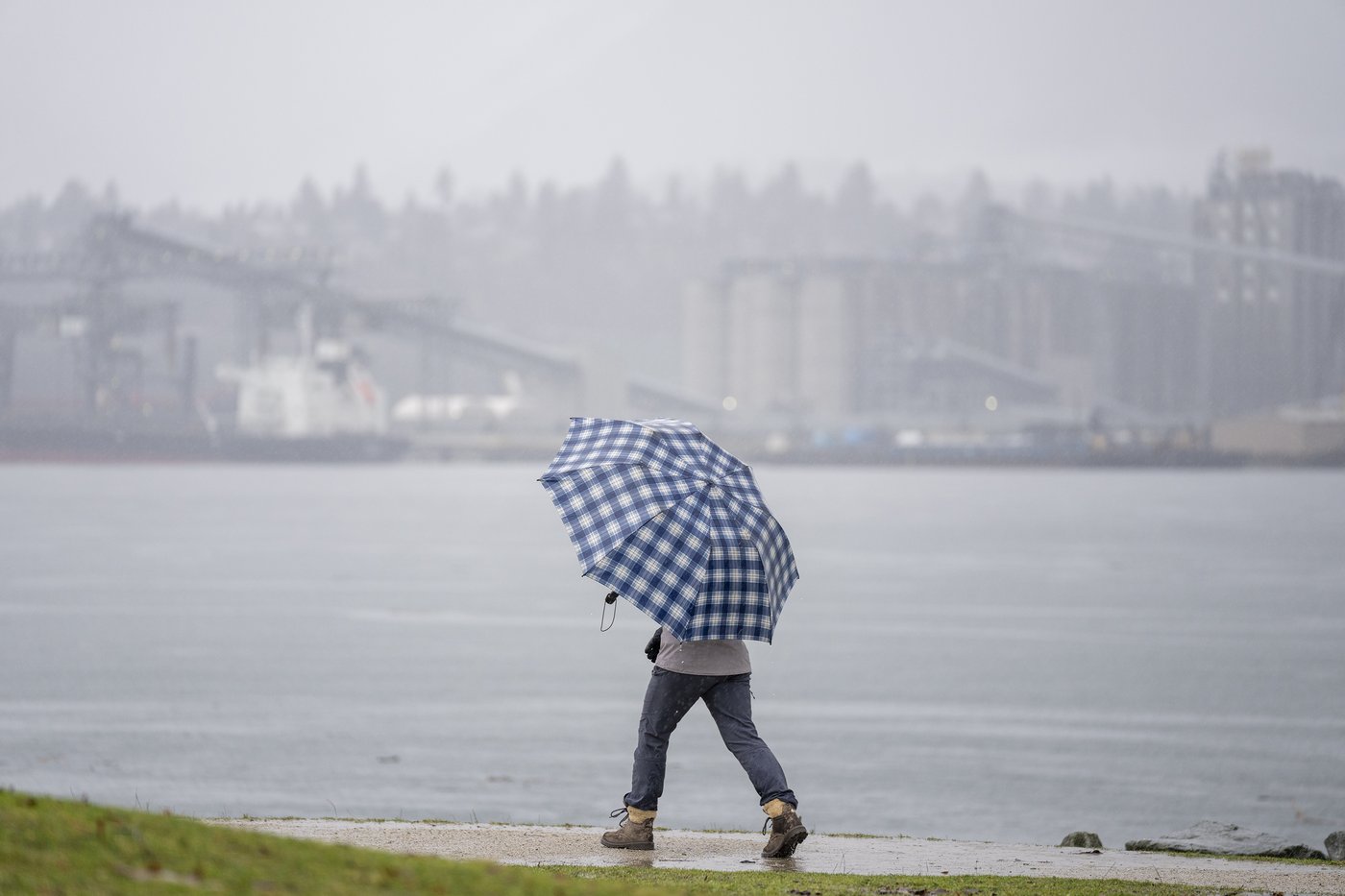
There were flurries in downtown Vancouver throughout Tuesday morning, but nothing settled on the wet streets, and umbrellas were the norm.
In nearby Burnaby, B.C., there were wintry scenes as several centimetres piled up at the campus of Simon Fraser University.
Lang said there’s always a lot of interest when it snows on the Lower Mainland — particularly when it hasn’t for so long, and residents are “trying to figure out why it hasn’t.”
“I can imagine that YVR is probably pretty happy saving money on de-icing fluids and that type of thing and not having to negotiate all these delays … that comes with the snow when it comes in heavily like that.”
Communities in southwestern B.C. that did report some snow on Tuesday included Whistler, Tofino and Campbell River.
Lang said the snow line remained low and elevated areas of Metro Vancouver still faced significant snowfall risks, including possible hazards on highways such as the Coquihalla and the Sea to Sky.
Environment Canada has issued a winter storm watch for the Coquihalla, Highway 3 and the Okanagan Connector, warning of up to 15 centimetres of snow and gusts up to 100 kilometres and hour lasting into Thursday.
The agency says the winter blast is the result of a cold, unstable air mass and drivers should prepare for challenging conditions.
“So if people are planning some travelling Wednesday night into Thursday, they’d best keep abreast of the situation,” said Lang. “If it’s raining where you are, you don’t often think that it could be snowing, especially through those mountain passes.”
She said another concern may be the wet weather toward the end of the week, when another atmospheric river system will bring rain and warming temperatures leading to some snowmelt, which may increase risks for flooding in some areas.
This report by The Canadian Press was first published March 10, 2026.
Chuck Chiang, The Canadian Press