
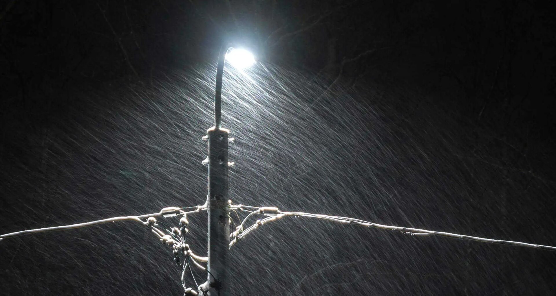
Snowfall warning issued for parts of the GTA as heavy bursts expected to hit late this morning
Drivers across parts of the Greater Toronto Area could face hazardous travel conditions today as a burst of heavy snow moves through the region late this morning and into the afternoon.
Weather officials say brief periods of intense snowfall could lead to quickly deteriorating road conditions, with visibility dropping significantly during heavier bands.
For Toronto, Mississauga and Brampton, snowfall rates could reach 2 to 4 centimetres per hour, with total accumulations expected to reach 5 to 8 centimetres before the system moves out.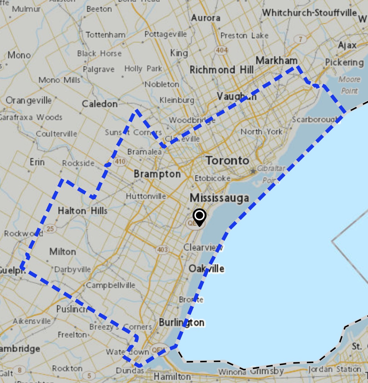
Areas north of Toronto, including Caledon, Vaughan and Durham Region, could see heavier snow, with total amounts of 10 to 15 centimetres possible and snowfall rates reaching up to 5 centimetres per hour at times.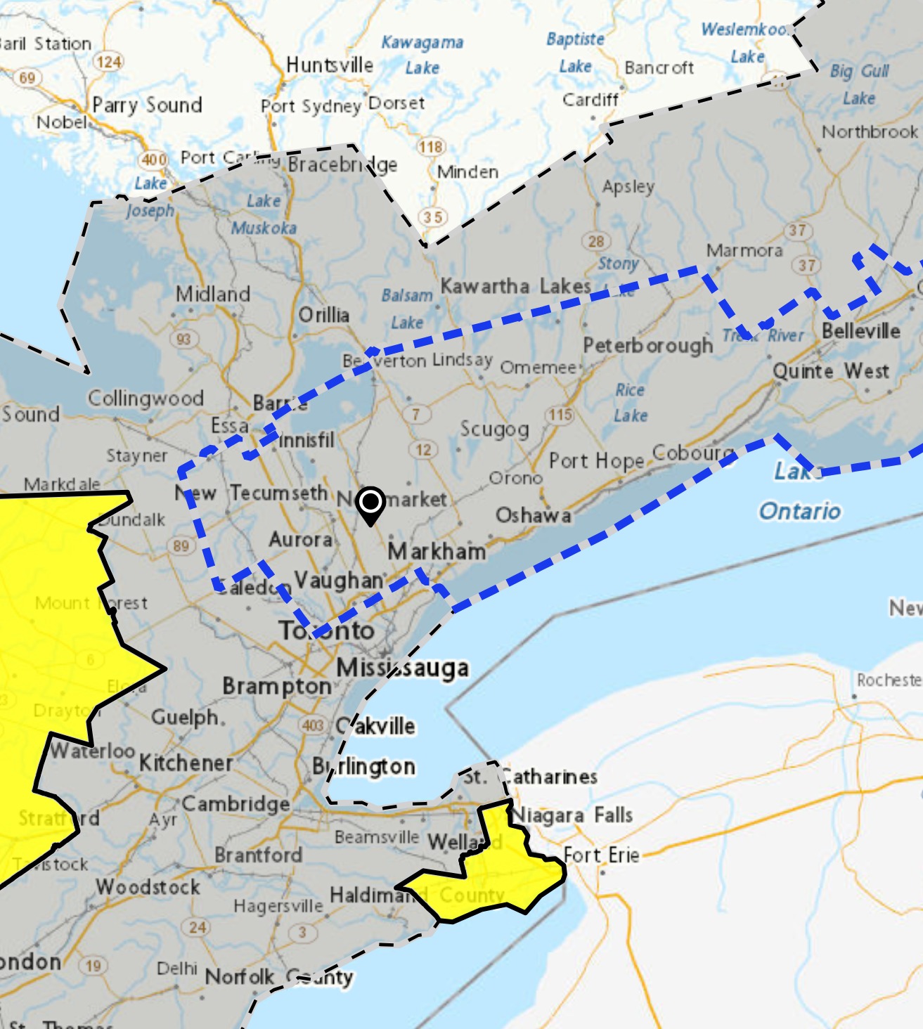
While the overall snowfall totals are not considered extreme, officials warn that rapid snowfall rates could quickly cover roads and highways, creating slippery and potentially dangerous travel conditions during the daytime hours.


The snow is expected to ease later this afternoon and transition into rain showers as temperatures rise above the freezing mark.
However, the improving weather may not last long.
As temperatures drop again overnight, wet roads and sidewalks could refreeze, creating icy conditions for drivers and pedestrians.
Residents across the region are being advised to prepare for rapidly changing travel conditions and allow extra time for commutes as the system moves through southern Ontario today.
INsauga’s Editorial Standards and Policies
Last 30 Days: 32,979 Votes
All Time: 1,256,961 Votes
2238 VOTES
Are high gas prices changing your travel routines?
WIN A $100 GIFT CARD
Subscribe to INsauga’s daily email newsletter for a chance to win a $100 Amazon gift card.