
CP24’s Jessica Smith provides an update on weather conditions in Toronto and parts of the GTA.
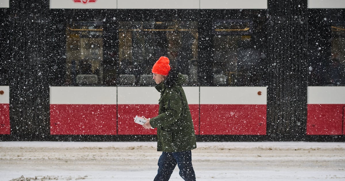
Toronto will see a messy mix of snow and rain on Friday as a storm system pushes its way into the GTA during the morning rush hour.
The city is currently under a special weather statement, with Environment Canada warning of see brief snowfall rates of two to four centimetres between Friday morning and afternoon.
“Although total snowfall amounts are not expected to be overly significant, the hourly snowfall rates may result in roads and highways becoming quickly snow covered and slippery,” the weather statement read.
“Hazardous travel conditions are expected. Snow is expected to diminish in intensity this afternoon and will likely change to rain showers as temperatures rise above the freezing mark”
Icy roads and sidewalks may also lead to slippery conditions on Friday due to falling temperatures overnight, the advisory warned.
CP24 Weather Specialist Jessica Smith said the snow will start to come down between 9 a.m. and 10 a.m., bringing a “clipper system that is going to blanket a good portion of central and southern Ontario.”
About five centimetres of snow is expected in Toronto on Friday.
Other parts of the GTA, including Vaughan, Markham, Richmond Hill, Pickering, Ajax, Oshawa and Whitby, could see 10 to 15 centimetres of snow Friday through Saturday morning.
The city will see a high of 3 C on Friday but it will feel closer to -8 this morning.
Daytime highs of 3 C and 4 C are in the forecast for both Saturday and Sunday.