
![]()
Listen to this article
Estimated 2 minutes
The audio version of this article is generated by AI-based technology. Mispronunciations can occur. We are working with our partners to continually review and improve the results.
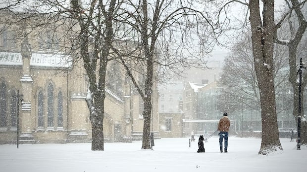
Residents across the Greater Toronto Area are in for more snow and freezing rain on Sunday, according to Environment Canada.
The national weather agency issued a special weather statement Sunday morning for snowfall up to six centimetres and a risk of freezing rain across the GTA from Halton Hills, Toronto to Oshawa.
Visibility may be reduced at times due to heavy and blowing snow, it said.
Winter weather conditions are expected to begin Sunday morning and end later in the afternoon. Easterly winds gusting up to 70 kilometres per hour will also pick up during the day and continue overnight, possibly into Monday for some areas, said the agency.
“Snowfall accumulations may be highly variable,” said Environment Canada, “However most areas will receive at least two centimetres with locally higher amounts possible.”
WATCH | Just as some groundhogs predicted, winter weather is back in the GTA: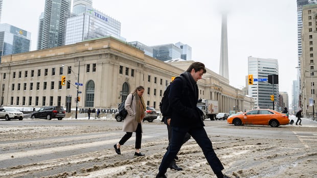
GTA to see more slushy snow over the weekend
Don’t get too comfortable, Toronto. As CBC Toronto’s meteorologist Colette Kennedy explains, more slushy snow and high winds are expected this weekend in the Greater Toronto Area.
Sunday will have a high of 4 C that will feel like -12 C with the wind chill.
Environment Canada noted “an abnormal temperature trend” for Sunday night with an evening forecast of 7 C that will rise to 9 C by Monday morning.
The weather agency warns residents that power outages may be possible during the day and that travel could become difficult.