
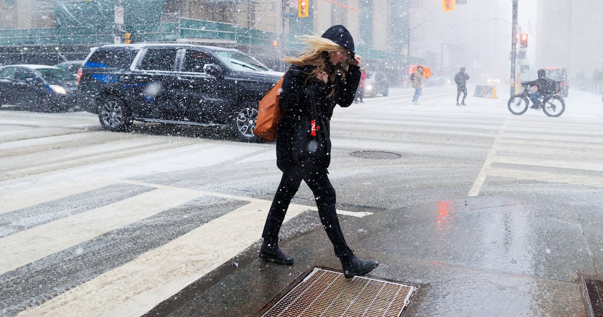
Toronto is under a special weather statement as a messy mix of snow, freezing rain and strong winds moves through the city Sunday, creating what experts describe as “hazardous travel conditions.”
Officials from Environment Canada warn the system could bring several centimetres of snowfall, reduced visibility and wind gusts strong enough to trigger localized power outages, with the most difficult conditions expected through the morning and early afternoon.
How much snow is forecasted?
Forecasters say the system could produce between two and six centimetres of snow across Toronto, although totals may vary widely depending on where the heaviest bands develop.
Some areas could also see a period of freezing rain as temperatures today hover near the freezing mark.
Officials note the snow and freezing rain threat should gradually taper off from south to north later this morning, through the afternoon.
Despite that improvement, roads may remain slick in places during the day as precipitation changes or ends.
In addition to the snowfall, easterly winds could gust up to 70 km/h, the national weather agency said,
Those winds may lead to reduced visibility in areas experiencing heavier snowfall or localized blowing snow.
Officials say gusty conditions could also linger into Sunday night and even Monday in some areas.