

Strong winds up to 90 km/h are expected across parts of southern Ontario through Tuesday morning
Residents across the Greater Toronto and Hamilton Area and Durham Region should prepare for gusty winds that could reach up to 90 km/h, with the strongest winds expected as a cold front moves through the region Monday morning.
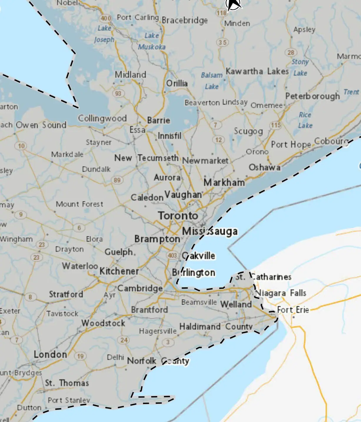
The weather system is expected to impact Toronto, Mississauga, Brampton, Oakville, Milton, Burlington, Hamilton, Oshawa, Pickering and Durham Region, bringing changing wind directions and potentially hazardous conditions through Tuesday morning.
According to the latest weather advisory, easterly winds will shift to southerly later this afternoon or this evening, with gusts reaching up to 70 km/h.
By Monday morning, winds are forecast to strengthen further as the cold front moves through. At that point, southwesterly winds will develop before turning westerly Monday night, with gusts between 70 and 90 km/h possible across the region.


Meteorologists say the strongest wind gusts are expected during the passage of the cold front Monday morning, which could bring sudden bursts of powerful wind across the area.
Conditions are expected to gradually improve by Tuesday morning as the winds begin to ease.
Officials warn that high winds can toss loose outdoor objects and may cause tree branches to break, potentially leading to localized power outages in some areas.
Drivers are also advised to use caution, particularly on open highways and bridges where strong crosswinds can make travel more difficult, especially for larger vehicles.
Residents are encouraged to secure outdoor furniture, garbage bins and other loose items ahead of the strongest winds.
INsauga’s Editorial Standards and Policies
Last 30 Days: 32,840 Votes
All Time: 1,259,150 Votes
979 VOTES
Are you worried you might lose your job in the next 6-12 months?
WIN A $100 GIFT CARD
Subscribe to INsauga’s daily email newsletter for a chance to win a $100 Amazon gift card.