
Environment Canada has issued a snowfall warning for eastern Vancouver Island Sunday afternoon as a weather system moving onto the coast brings a brief burst of snow before temperatures rise later in the evening.
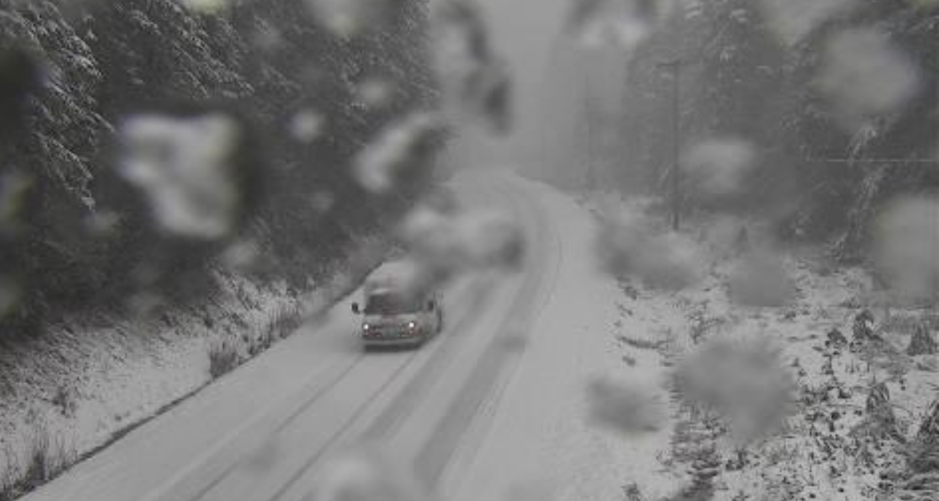
Forecasters said just after noon Sunday that about five centimetres of snow could accumulate from the afternoon until early evening from Courtenay to Campbell River.
“A frontal system is bringing snow to the region this afternoon, especially over northern sections,” the weather agency said. “Local snowfall amounts of 5 cm are expected before the snow changes to rain this evening as the freezing levels rise.”
Drivers are being warned that travel conditions may deteriorate during the snowfall, with reduced visibility and accumulating snow expected to make roads and walkways difficult to navigate.
The snowfall comes as a prolonged atmospheric river moves toward the B.C. coast.
Environment Canada has already issued rainfall warnings for west and inland Vancouver Island, where 100 to 150 millimetres of rain is forecast between Sunday and Wednesday morning, with some locations potentially seeing up to 200 millimetres.
By Monday morning, freezing levels are expected to climb to 2,500 to 3,000 metres, turning most precipitation to rain and increasing the potential for snowmelt at higher elevations.
The combination of heavy rain and melting snow could lead to rapidly rising rivers, localized flooding, water pooling on roads and an increased risk of landslides, particularly on steep slopes or saturated ground.
Environment Canada says the heaviest rainfall is expected Monday through Monday night as the atmospheric river remains over the region.