
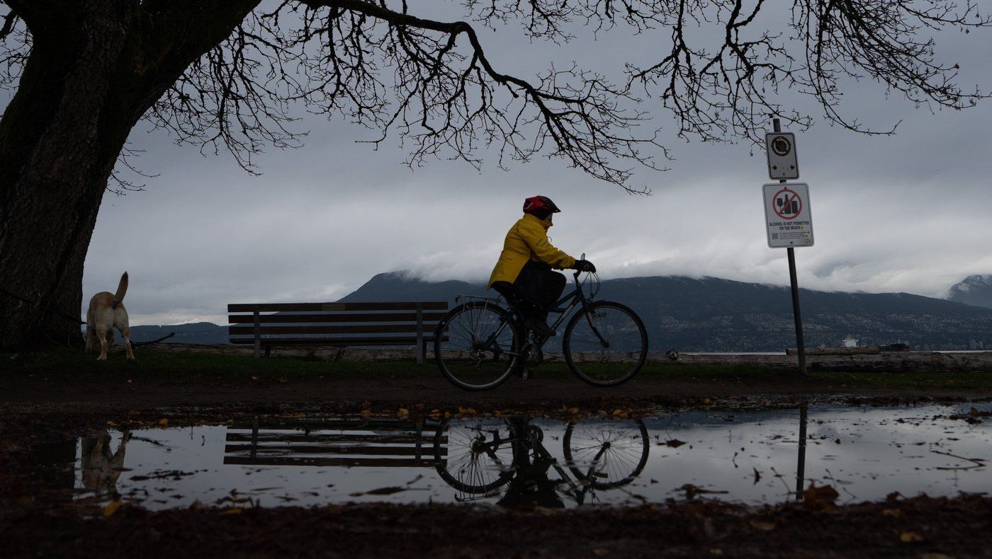
A rainfall warning that’s active for West Vancouver Island has been downgraded to a yellow alert on Thursday, as the weather event stretches into its fifth day.
On Thursday morning, Environment Canada warned that up to 120 millimetres of rain was expected to fall over the western portion of the Island, particularly around Port Renfrew, Bamfield and Jordan River, from now until Friday.
The heaviest rain is expected Thursday night into Friday morning, and will be followed by a cold front that’s forecast to “sweep across Vancouver Island.”
Those who live on West Vancouver Island and encouraged to watch for potential flooding, water pooling on roads, and fast-moving water.
“Landslides may occur in vulnerable areas such as steep slopes, deforested areas or recent burn scars,” said Environment Canada in its warning.
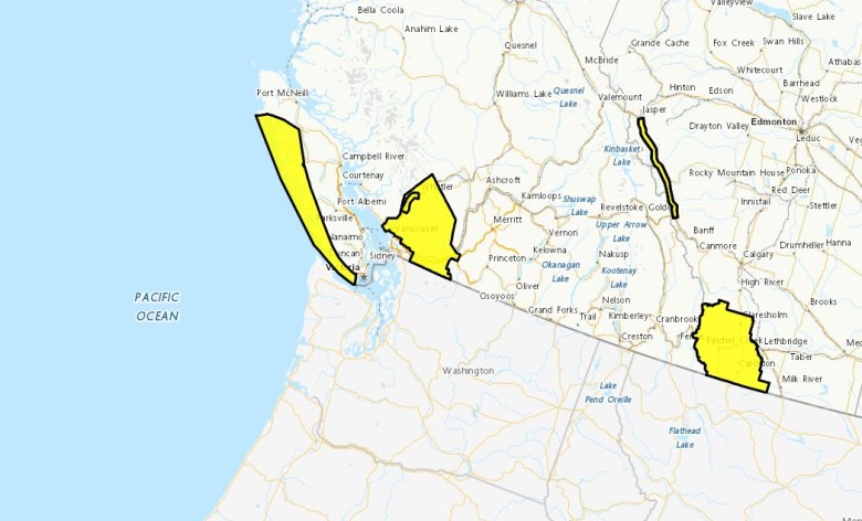 The area under the rainfall warning (yellow) on Vancouver Island is shown. March 19, 2026. (Environment Canada)
Thursday’s rainfall warning is actually a downgrade from the orange alert that was issued for the region on Monday, and that remained until Wednesday.
Under Environment Canada’s new colour-coded alert system, a yellow alert means weather impacts are “likely moderate, localized, and/or short term” – while an orange alert means there’s potential for “significant damage” or disruption and that “impacts can be major, widespread, and/or may last a few days.”
A yellow alert rainfall warning that was in effect for Inland Vancouver Island on Wednesday was also lifted Thursday.
The recent downpours have been caused by an atmospheric river that crossed over much of coastal British Columbia this week.
On Tuesday, the Central Coast Regional District along B.C.’s Central Coast issued a state of emergency due to the rain and issued an evacuation order for parts of Ocean Falls in Electoral Area A due to a landslide hazard risk.
RELATED: Floating furniture and local state of emergency as rain pounds B.C.’s coast