

Get out your umbrellas and rain boots: two systems bringing heavy rain on Friday and Sunday—but that’s not all.
According to a report by MeteoMedia, very mild and windy conditions are accelerating snowmelt, with several municipalities closely monitoring rising water levels.
Check out: Free Indoor Easter Activities in Downtown Montreal

Photograph: Shutterstock / SeventyFour
What is the long-weekend forecast for Montreal?
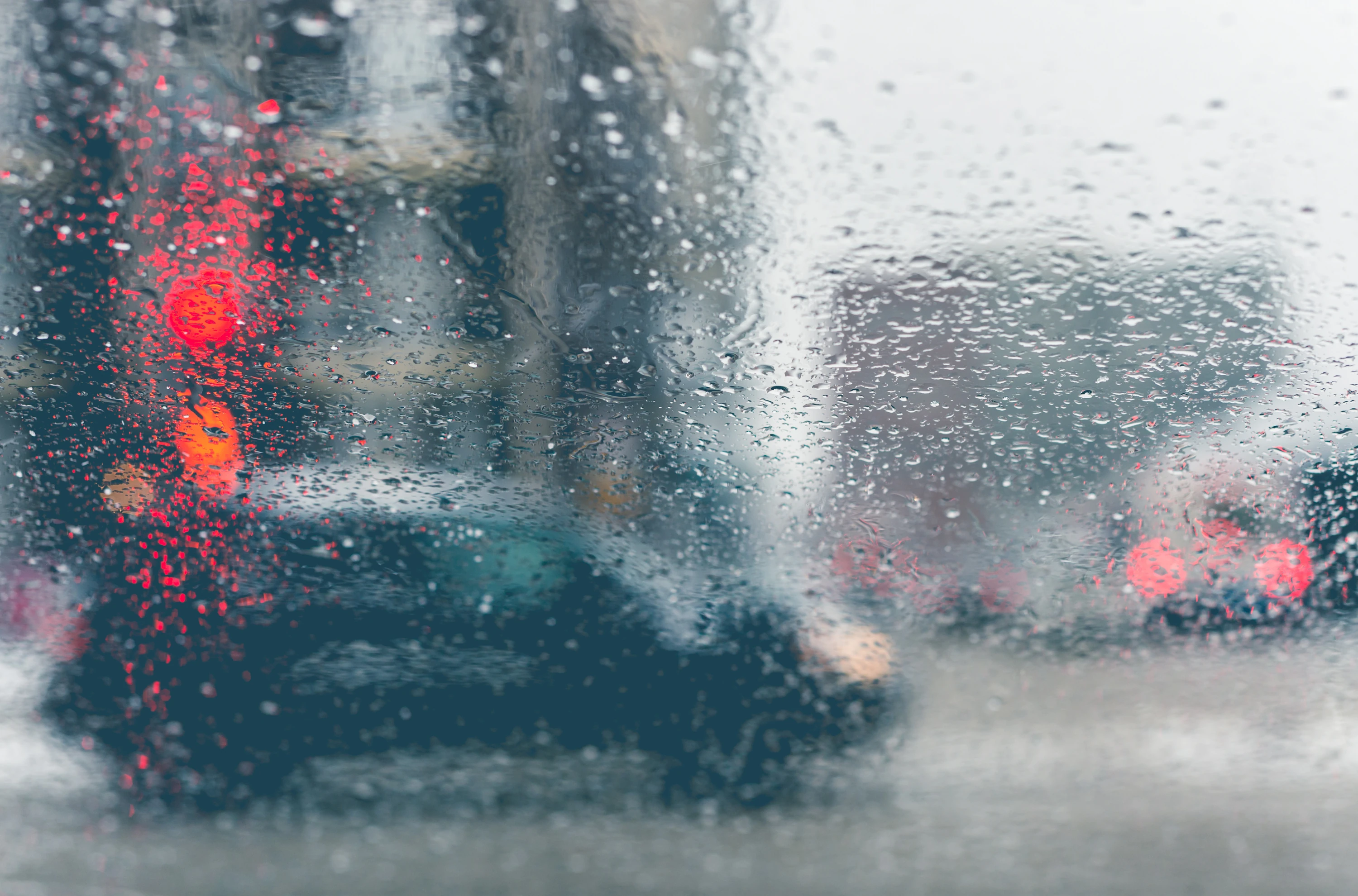
A powerful low-pressure system has swept into town and is set to unleash heavy rain across parts of southern Quebec.
Some forecasts are calling for as much as 100 mm of rain in localized areas.
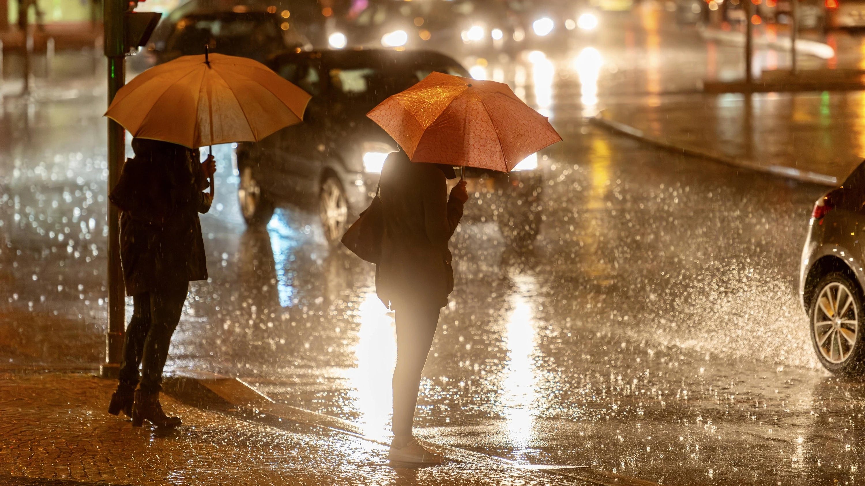
After a brief lull on Saturday, a second system following nearly the same path is set to strike on Sunday, bringing another round of potentially torrential rainfall.
Photograph: Shutterstock / Marc Bruxelle
By Sunday night, totals are expected to surpass 50 mm across a wide swath of the province, with particularly concerning conditions in the Outaouais, Laurentians, Lanaudière, and Mauricie regions.
Temperatures are expected to surge Friday afternoon, climbing to as high as 18°C in several southern regions, including Gatineau and Montreal.
This unseasonable warmth—combined with powerful winds gusting up to 90 km/h,—will rapidly accelerate snowmelt.
And while snow has largely disappeared in Montreal and areas south of the city, significant snowpack remains further north. According to NOAA data, between 150 and 250 mm of water is still locked within that snow.
Photograph: Shutterstock / Cacio Murilo
Significant runoff is likely, and this surge of water is expected to swell rivers across the region.
As the threat grows, Quebec’s emergency information service, Urgence Québec, has issued a warning to residents, particularly in the Laurentians, Lanaudière, and Outaouais.