

Listen to this article
Estimated 1 minute
The audio version of this article is generated by AI-based technology. Mispronunciations can occur. We are working with our partners to continually review and improve the results.
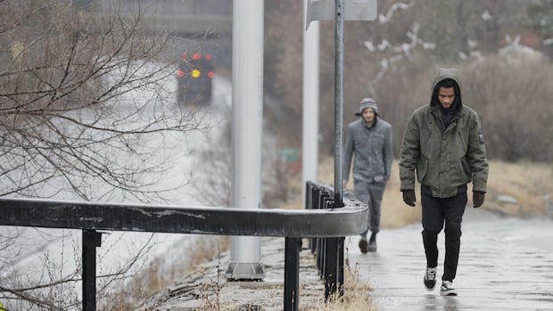
The Ottawa-Gatineau area is entering a mid-April wet spell that includes some widespread weather alerts.
The Deep River and Algonquin Park area are under a rainfall warning that calls for a total of 25 to 50 millimetres of rain Sunday and Monday.
Western Quebec has a special weather statement about 20 to 40 millimetres of rain and eastern Ontario outside the Kingston-Belleville area has a statement about 20 to 30.
The weather station at Ottawa’s international airport recorded about 16 millimetres of rain Sunday starting early that afternoon.
That rain is not expected to continue to Monday night, but there could be more on Tuesday, according to Environment Canada.
Ottawa’s forecast has at least a chance of showers every day this week and above-average temperatures.
Local authorities are not forecasting anything worse than nuisance spring flooding in low-lying areas. There are flood watches in the Tay Valley and Rideau Lakes areas and Quinte Conservation’s inland waterways.