
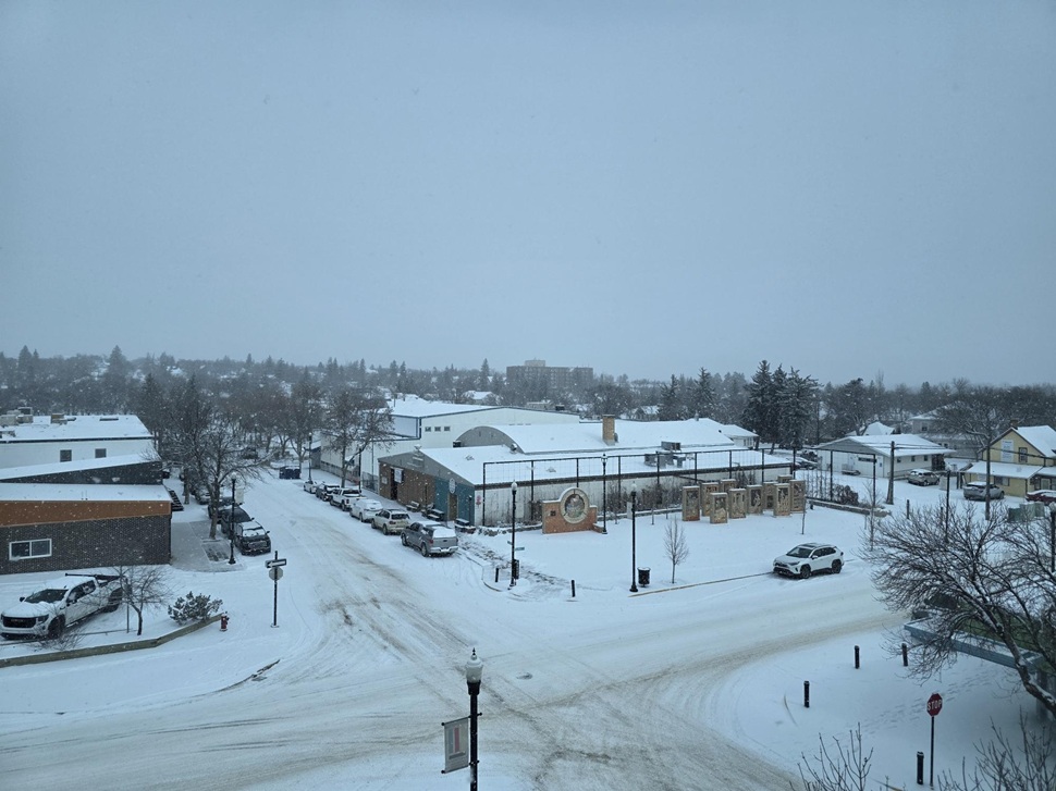
Snow is still coming down in Swift Current, although it is expected to begin tapering off in the afternoon.
Environment and Climate Change Canada meteorologist Terri Lang said she and her team were caught off guard after initial projections called for only five centimetres of snow. Forecasters now expect between 10 and 20 centimetres before the storm ends.
“It’ll taper off to sort of just light stuff,” said Lang. “But still a few more hours to go right now.”
Lack of reports
Lang said she would like to share more information on snowfall amounts but noted it is difficult without more reports from rural areas.
“We don’t have reports,” said Lang. “We’ve monitored webcams to see what’s going on and how fast it’s piling up.”
She added that people can help by posting photos and information on social media and tagging weather services so forecasters can use the information to build more accurate reports.
So far, the available data shows particularly heavy snowfall southwest of Swift Current and along Highway 32 toward Leader.
Related Stories:
Snow begins to taper
Snowfall should begin to taper off in the afternoon, according to Lang.
“We’ll probably still see some blowing snow and drifting snow even if the snow itself has ended,” she said.
Snow is expected to continue falling into the evening before ending overnight.
Bad roads brewing
Environment and Climate Change Canada is encouraging people to exercise caution on highways and local roads. Lang said earlier freezing rain in the region created a base layer of ice before the snow began.
“With that base of freezing rain underneath, that whole sort of southern part is quite a mess,” said Lang.
She highlighted Moose Jaw and Regina as areas with particularly poor road conditions.
“We want people to be safe out there, and nobody wants to be driving in this,” said Lang. “We hope everybody’s safe.”