
Cold air is pressing across the province and through the nation’s capital, bringing a mix of possible snow and rain.
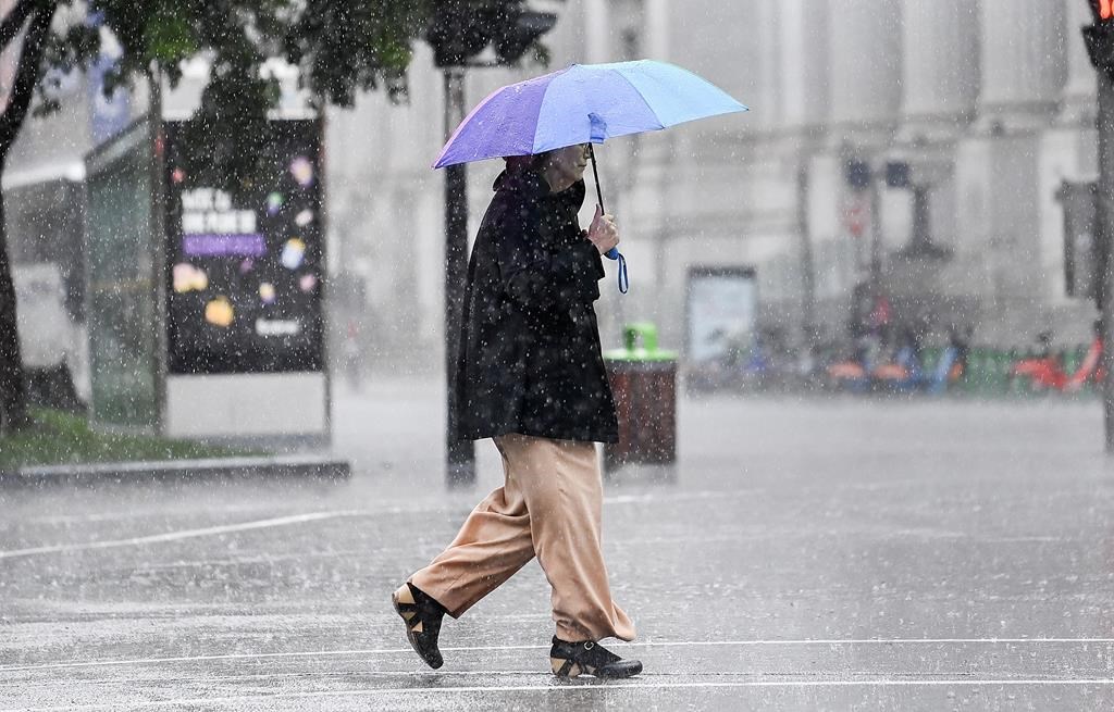
Environment Canada says total rainfall amounts could be between 10 and 20 millimetres on Saturday into Sunday. The weather agency said thunderstorms are possible, as the unsettled weather continues. It’s bringing more concerns of flooding, as portions of the Ottawa River and landowners near waterways are on high alert.
“Portions of the region have received significant rainfall amounts over the last few days. As a result, further rainfall could have significant impacts,” it warns.
Water levels are already high across the nation’s capital, bringing up fears of the 2019 floods for many.
In a memo, the three agencies that govern the waterways — Rideau Valley, Mississippi Valley and South Nation conservation authorities — issued a plea to property owners to take precautions ahead of the weekend.
Experts believe that areas downstream of Britannia to Hawkesbury could experience minor flood levels in the next few days. However, as of Monday, some locations could see major flood levels. From Arnprior to Britannia, minor flood levels are expected in some areas, with levels exceeding the major category by the weekend.
Major flooding would look like several streets being impacted, along with some buildings. Minor flooding is defined as lawns and some streets being affected.
Temperatures are well above normal for this time of year. On Friday, it’s reaching 18 C with fog patches developing overnight as it drops.
Saturday, it could feel as hot as 25 with the humidex, before the cold front sweeps through dropping the low to 2 C.