
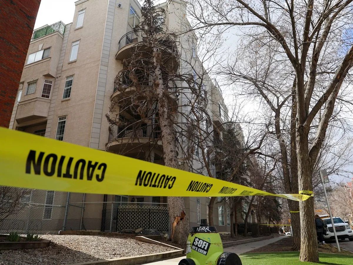
Just as Calgarians again emerged from their wintry cocoons and into the sunlight with fewer layers, ready to finally welcome spring, the city’s winds lashed at them with flurries on Friday, forcing everyone indoors and conveying, probably, the most irksome set of words in the English language: not yet.
The city’s popular Parade of Wonders had to be cancelled on Friday. Properties were damaged. Power lines were downed by trees. What was -3C felt like -13C. By Saturday, temperatures dipped to -7C with a 60 per cent chance of flurries. Environment and Climate Change Canada issued a yellow warning for the condition, forecasting gusts so strong they could push high-sided vehicles, such as semi-trailers, around like toys.
The storms arrived only three days after the city recorded temperatures as high as 23C. Calgarians have long been accustomed to such a love-hate relationship with the city’s weather. And yet, despite a history with nature’s capriciousness, one does wonder: Is this normal? Will this ever stop? Is this the beginning of the apocalypse?
‘Pretty standard for Alberta’
Heather Rombough, a meteorologist with Environment Canada, says such wild swings, for Alberta, are par for the course: “I would say this is pretty standard weather for Alberta. You always joke about the May long weekend that if you go camping in the mountains, you’re probably going to get snowed on.”
What she points to is a phenomenon called the jet stream — a rapid, narrow band of air current high in the atmosphere flowing east to west, and that also marks the separation between warmer and colder air masses. Adding to the mix is a system called the upper ridge that causes a bulge in that separation, meaning the line curves upward, bringing warmer air to regions in the north.
Currently, Rombough said, the upper ridge is stuck in the Pacific region, unable to reach Calgary. Which means the region is currently experiencing a low-pressure system, in which air rises because it is less dense than its surroundings, subsequently cooling off and falling to the ground in the form of precipitation.
“It’s hard to explain exactly why, because it’s Mother Nature and atmosphere, kind of does whatever it does,” Rombough said.
The weather’s whims on occasion even elude scientists tracking its movement.
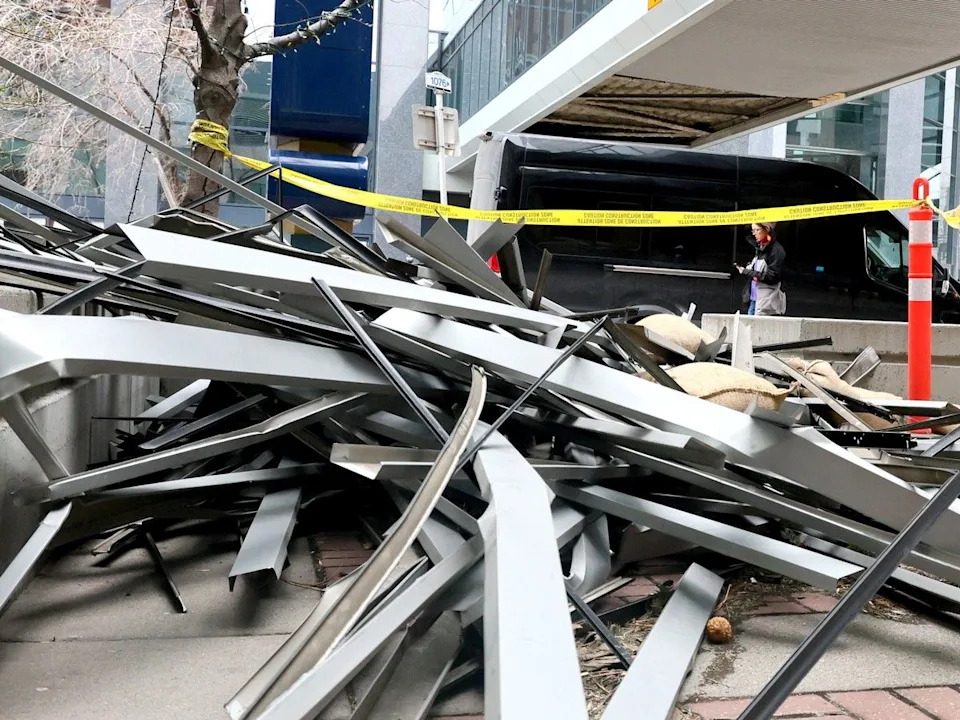
Damage to a Plus 15 on 2nd Avenue near 3rd Street S.W. due to a wind storm in Calgary on Friday.
For instance, as miserable as the weather is, it could have been much worse.
The forecast originally calling for a heavy snow dump over three days had been downgraded to light flurries, with no more than four centimetres expected.
Meanwhile, several golf courses were closed again despite the city’s recent pledge to open its Maple Ridge, McCall Lake, and Shaganappi courses — weather permitting.
“With a positive spring weather outlook, City staff have been working diligently in clubhouses and on course maintenance to prepare for the start of the golf season and to provide the best possible early-season playing conditions for our guests,” the release stated just days ago.
Snow returns
The promise was short-lived. All were closed Saturday, the greens and fairways blanketed by snow.
On Friday, RCMP advised against travel on many highways east of Calgary, with high winds, blowing snow, ice and poor visibility reported in some areas. Highways 897, 41, 45 and 16 were impacted by “extremely poor driving and road conditions.” Officers also responded to multiple collisions and described conditions as “treacherous.”
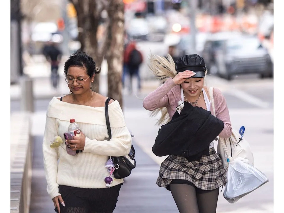
Pedestrians brace against the strong winds in downtown Calgary on Thursday.
Temperatures will hover around -3C on Sunday with 60 per cent chance of flurries during the day and fall to -10C at night.
Rombough said the weather will stabilize by next week, and by Wednesday, temperatures will rise until the weekend, when the city will cool off again. What happens after that is hard to say.
“Originally, the forecast for here was supposed to be 10 degrees this weekend, which obviously did not happen,” Rombough said.
“Long-range forecast gets really tricky beyond the first week, especially even just the first few days can be tough, but it does look like warmer for the end of this coming week and then a bit cooler again on the weekend.”
hmansukhani@postmedia.com