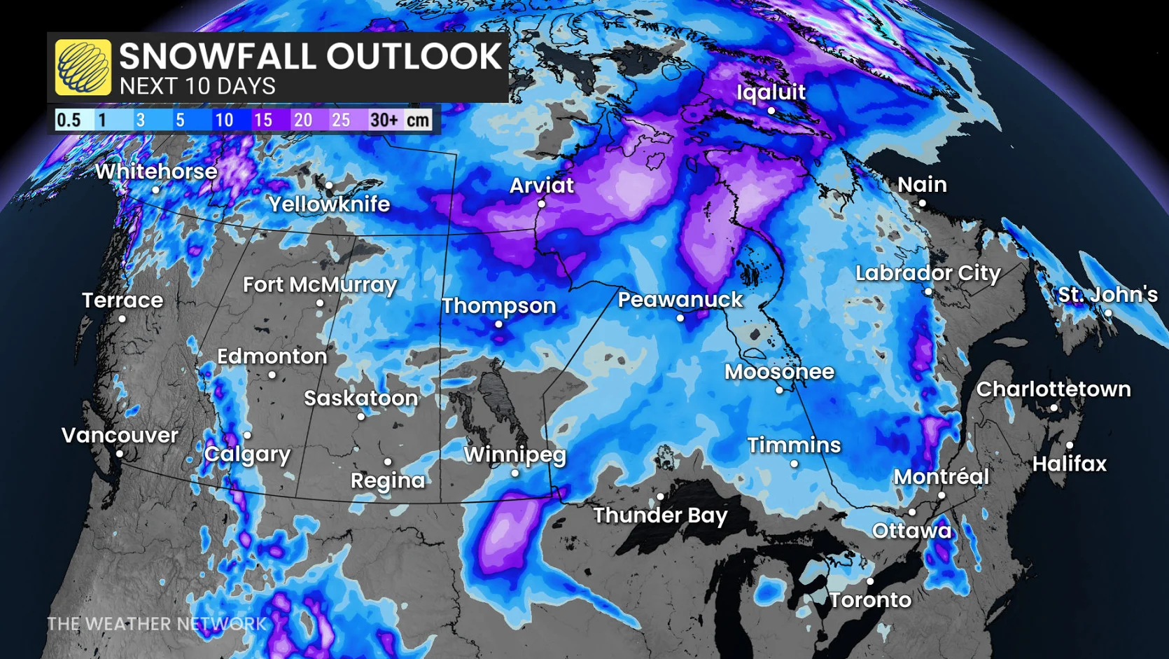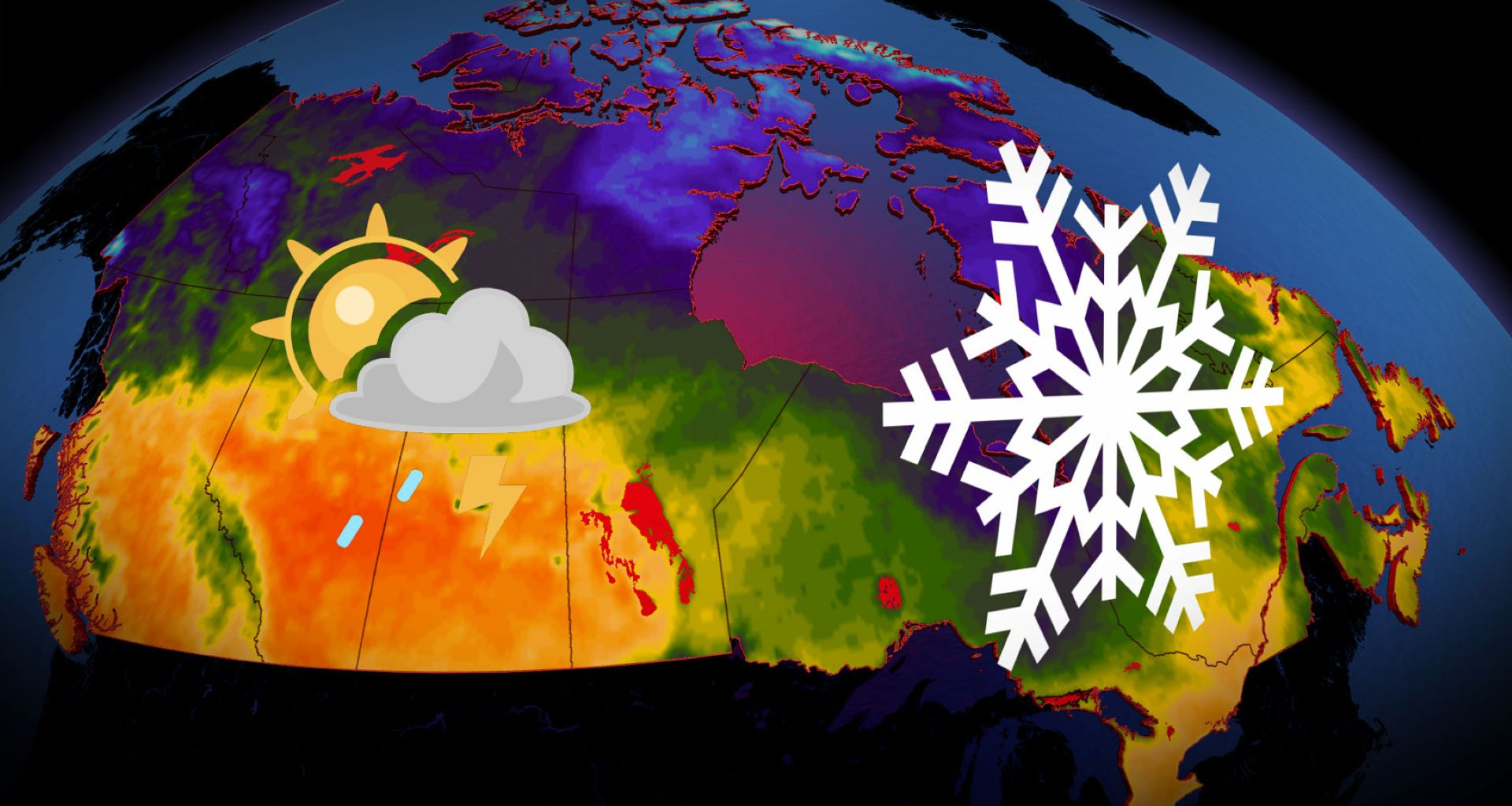
In May 2025, a severe, early-season heat wave swept across the Prairies and northwestern Ontario, delivering a staggeringly high 37.8°C in Emerson, Man., on May 11–the earliest it’s been that warm in Canadian history. Several stations reported three days above 35°C, an unprecedented tally before mid-May.
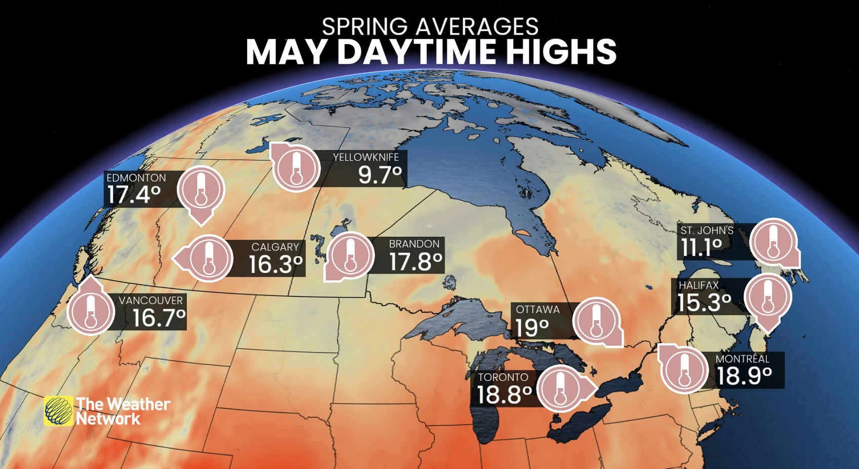
Winnipeg also cracked the 37°C mark on May 13, 2025. Then, in true Canadian fashion, snow was recorded in Winnipeg just four days later.
The forecast: Early-May chill?
Have you noticed this spring features more pronounced temperature swings and fluctuations? The temperature anomaly over the past 60 days confirms what you’ve been feeling: Canada has been squeezed between two sharp, competing air masses.
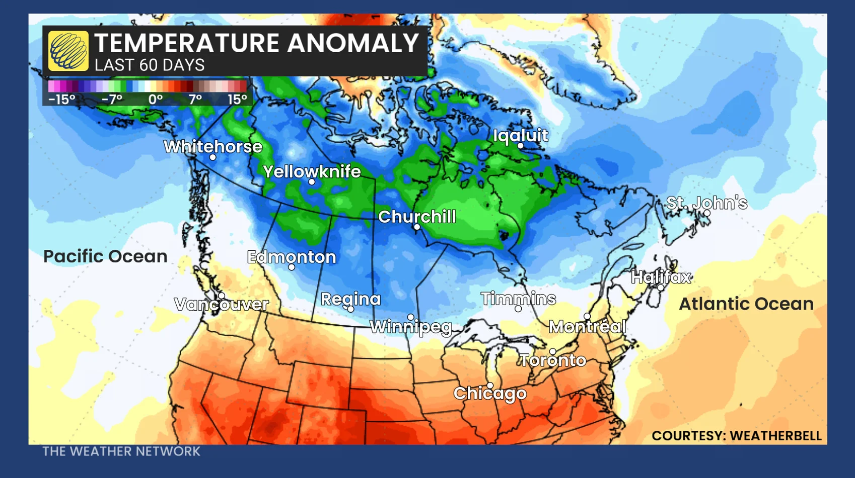
A lingering cold signal across Northern Canada has pressed south at times, while extreme spring heat has surged towards the international border over the past several weeks. These temperature fluctuations have averaged out to within normal near the international border.
Long-range, east of the Rockies, extending towards Ontario and southern Quebec, a trough, or region of cooler air, will kick off May and be incredibly stubborn to shake.
It’s possible to see wet flurries as far south as Georgian Bay in early May, along with more snow across northern and central Quebec.