

Listen to this article
Estimated 2 minutes
The audio version of this article is generated by AI-based technology. Mispronunciations can occur. We are working with our partners to continually review and improve the results.
Wednesday’s rainfall and melting snow in the northern stretches of the Ottawa River has caused water levels to continue rising from Mattawa to Pembroke, according to the most recent update from the Ottawa River Regulation Planning Board.
Water levels in Mattawa have climbed just above the major flooding threshold, which is typically when streets begin flooding and houses and buildings are at risk.
Levels in Pembroke are set to remain below this threshold, the board’s Thursday update added.
“With less rainfall received than expected in the central portion of the basin, water levels and flows in locations downstream of Pembroke are expected to rise only slightly,” the board said.
Water levels along the main stem of the Ottawa River are expected to remain high for the next two weeks, with a large volume of water still expected to come from the river’s northern regions.
What else you need to know
In Ottawa, there were 15 locations as of Thursday afternoon where residents could pick up sand and sandbags.
The city keeps an updated list of road and pathway closures in addition to the NCC’s interactive map.
The City of Gatineau also has an interactive road closure map that lays out sandbag stations and waste drop-off locations in the hardest-hit areas.
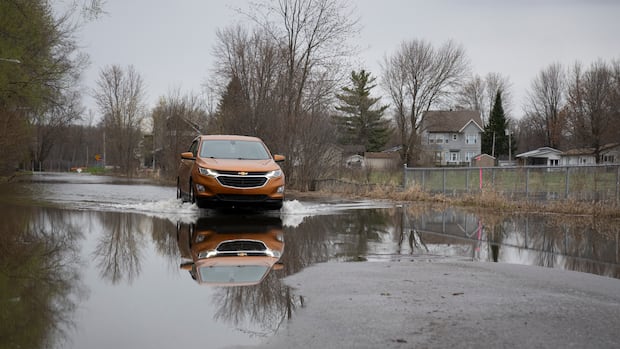
Several dozen roads have been affected by flooding, some of which are only accessible by boat. City officials have suggested some roads could soon be reopened to local traffic.
A flood relief centre is open at the Centre sportif de Gatineau at 850 boulevard de la Gappe from 10 a.m. to 6 p.m. daily and there are showers available at the Lucien-Houle and Paul-Pelletier pools.
The Ecolos ferry between Clarence-Rockland, Ont., and Thurso, Que., remains closed and there are restrictions on the Bourbonnais ferry between Gatineau’s Masson-Angers area and Cumberland in east Ottawa.
People living in communities outside Ottawa-Gatineau can check their municipality’s website for the latest on flooding in their area.