
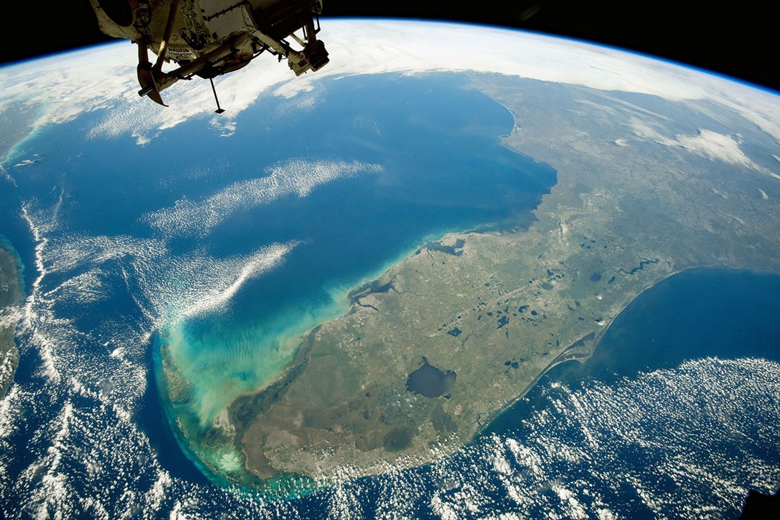
For the first time, researchers have deployed and tested a geospatial AI foundation model in orbit. NASA and IBM’s Prithvi model draws on 13 years of global Earth observation data. The team uploaded it to two platforms in active orbit. One was the South Australian government’s Kanyini satellite; the other, the IMAGIN-e payload aboard the International Space Station.
The research spans Adelaide University, ESA’s Φ-lab, Thales Alenia Space, and the SmartSat Cooperative Research Centre in South Australia. A preprint confirms Prithvi successfully detected floods and clouds across both platforms. The model can also map burn scars and monitor crop yields.
Why Processing Data in Space Matters
Earth-observing satellites generate vast amounts of data. Normally, it travels to the ground before anyone analyses it. That delay, between an event and a useful response, matters enormously when flooding or wildfires strike. Running AI analysis aboard the satellite changes the equation. Prithvi identifies patterns before the data even leaves orbit.
The model’s design makes in-orbit updates practical. Active satellites typically cannot accept large software uploads due to bandwidth constraints. Because Prithvi is a foundation model, operators need only send a small decoder package to add a new capability. That is far less data than uploading an entirely new model. It also means a satellite can take on tasks its designers never originally planned for.
Open Source Was the Deciding Factor
Lead researcher Dr Andrew Du called Prithvi’s open-source status critical to the project. Du is a postdoctoral researcher at Adelaide University and an AI engineer at SmartSat. “If Prithvi weren’t open source, I would have to train my own foundation model,” he said. “Having that model openly available saved a lot of time and effort.”
NASA’s chief science data officer, Kevin Murphy, said the deployment demonstrated the value of open sharing. “By sharing these tools with anyone who wants to use them, we accelerate scientific and technological development into the future.”
IBM and NASA’s IMPACT AI team at Marshall Space Flight Center built Prithvi together. They trained it on the Harmonized Landsat and Sentinel-2 dataset. This combined archive draws on more than a decade of global satellite imagery from NASA and ESA.
 Published by Kerry Harrison
Kerry’s been writing professionally for over 14 years, after graduating with a First Class Honours Degree in Multimedia Journalism from Canterbury Christ Church University. She joined Orbital Today in 2022. She covers everything from UK launch updates to how the wider space ecosystem is evolving. She enjoys digging into the detail and explaining complex topics in a way that feels straightforward. Before writing about space, Kerry spent years working with cybersecurity companies. She’s written a lot about threat intelligence, data protection, and how cyber and space are increasingly overlapping, whether that’s satellite security or national defence. With a strong background in tech writing, she’s used to making tricky, technical subjects more approachable. That mix of innovation, complexity, and real-world impact is what keeps her interested in the space sector.