

The strongest thunderstorms could produce strong wind gusts, large hail, and heavy rainfall. One or two tornadoes can’t be ruled out.
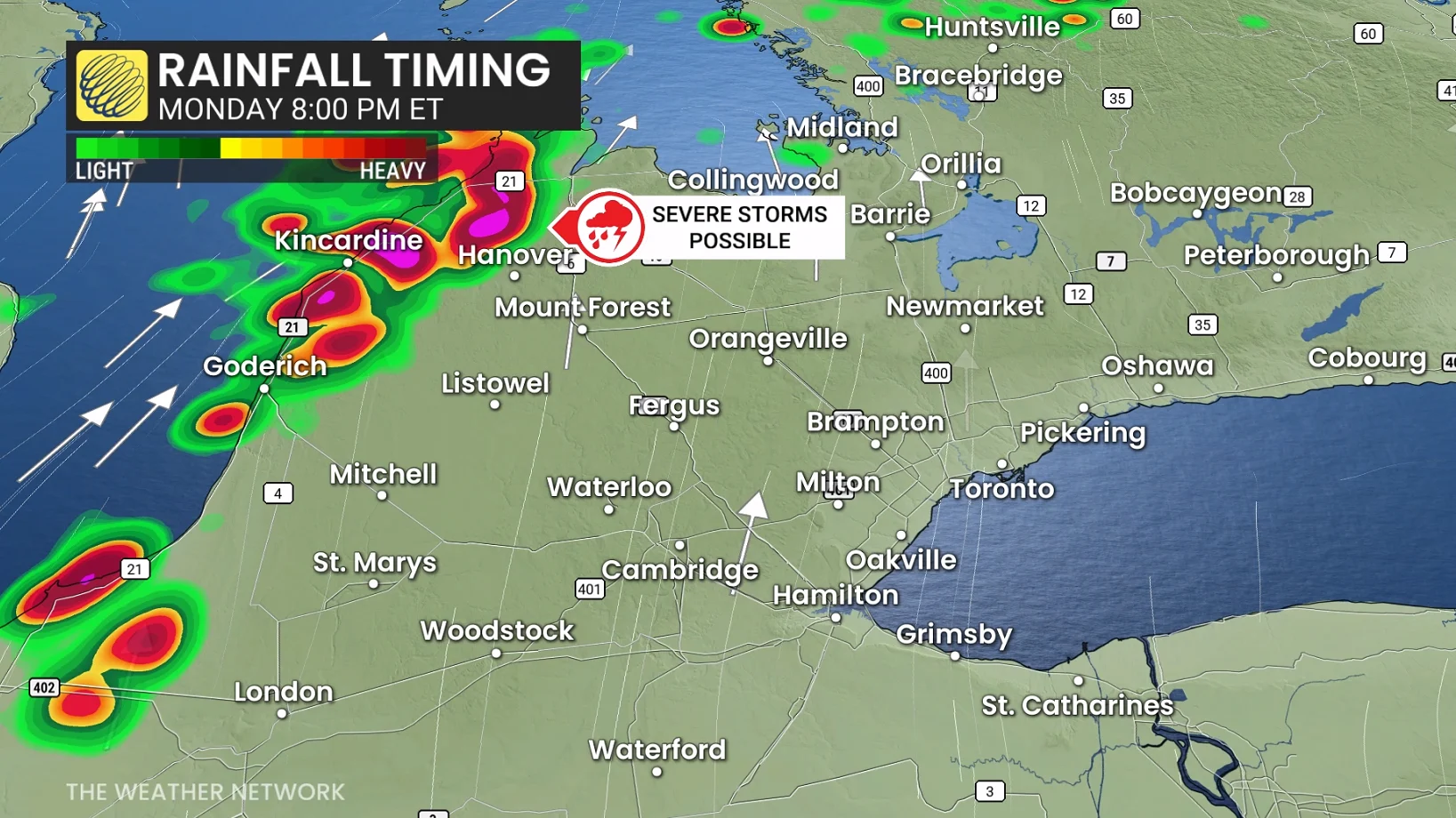
Another low-pressure system developing to the west will pump additional warm air into southern Ontario for our Tuesday, renewing the instability that could fuel a fresh round of thunderstorms.
Some storm activity is expected across southern Ontario later Tuesday evening and into the overnight hours as the cold front approaches. A marginal threat for severe weather exists, but forecaster confidence is low at this time.
Winter weather threat builds in northern Ontario
It’s a seasonal split-screen across the province as the same system responsible for the severe storm threat brings wintry precipitation to portions of northwestern Ontario.
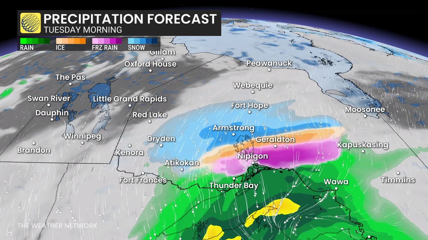
Forecasters will pay close attention to conditions near and north of Thunder Bay, where the risk will exist for ice pellets, freezing rain, and even some wet snow.
Expect temperatures to fall sharply across southern Ontario by Wednesday as a cold front finally advances through the region.
Stay with The Weather Network for all the latest on conditions across Ontario.
WATCH: El Niño threat grows in the coming months