

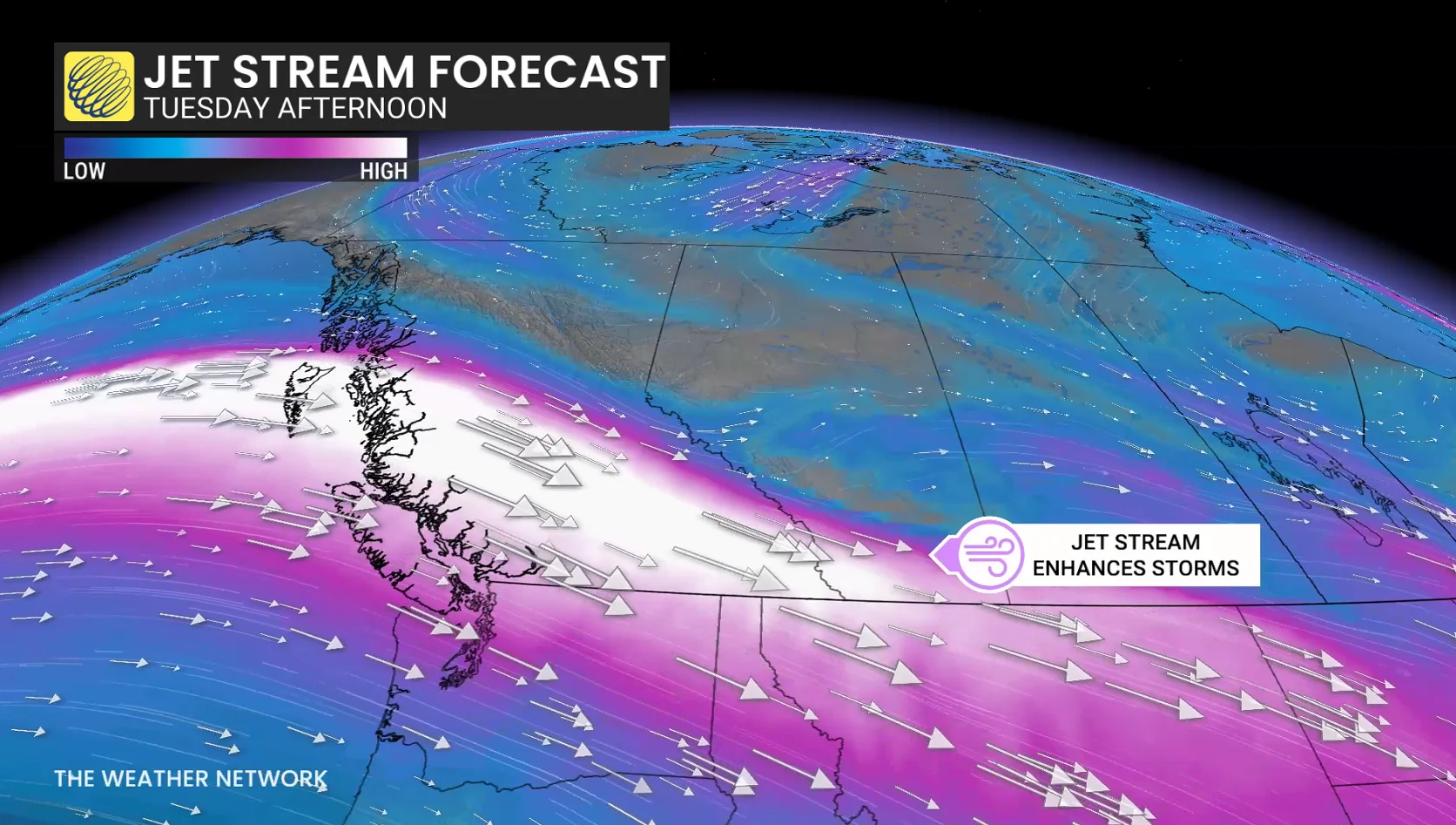
This creates ingredients to support and sustain updrafts in a thunderstorm. The lowest one kilometre of the atmosphere is not supportive of tornadoes as a main hazard on Tuesday.
Storms merging can create wider, stronger updrafts, keeping hail suspended. That means more residence time.
The slower the storm travels, the more intense the hail damage and swath could be.. Larger storms create more hail production and a wider hail core.
Beyond, we are watching the potential for a significant low, which could develop over or just south of southern Alberta on Saturday, and then track east across the region during the weekend with heavy rain, thunderstorms and very windy conditions.
Cooler-than-seasonal temperatures will dominate this week and continue through the weekend and into next week. However, western areas should trend warmer next week–back to seasonal and possibly above seasonal.
Stay with The Weather Network for all the latest on conditions across Alberta.
WATCH: How El Niño could shape summer 2026 across Canada