
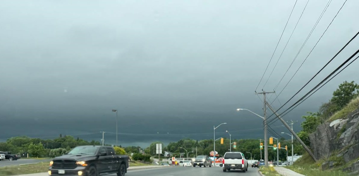
Environment Canada has a red-coded tornado warning, its most severe alert, for several areas near the Manitoba boundary, including Kenora.
KENORA — Severe weather in the western part of the region now includes a tornado warning.
Environment Canada issued the red-coded (most severe) warning at 1:37 p.m. CT Monday, saying the severe weather “is possibly producing a tornado.” The warning includes the city of Kenora and followed the area previously being under a tornado watch.
The storm is moving eastward at 75 km/h, the alert said. Damaging winds, large hail and locally intense rainfall are also possible.
Locations said to be in the storm path included:
Sherwood Lake
Laclu
Keewatin
Kenora
Redditt
Lajeunesse Bridge
Longbow Lake
At around 3:20 p.m. CT, the weather office updated the list of affected areas:
Rushing River Provincial Park
Eagle-Dogtooth Provincial Park
Winnange Lake Provincial Park
Teggau Lake
Blue Lake Provincial Park
“This is a very dangerous and potentially life-threatening situation,” the alert said.
“Take cover immediately in a basement, interior room or a sturdy shelter when threatening weather approaches,” officials continued. “If no shelter is available, lie in a low spot and protect your head from flying debris.”
“If you are out on the water when threatening weather approaches, return to shore and seek shelter, if possible. Otherwise, move away from the path of the tornado to escape. Wear your life jacket, lie face down and protect your head.”
Areas to the south of the warning, including Fort Frances, Emo, Sioux Narrows-Nestor Falls, Morson and others, remained under the orange-coded tornado watch Monday afternoon.
UPDATE: This story was updated at 3:40 p.m. CT to include new locations Environment Canada was tracking the storm through